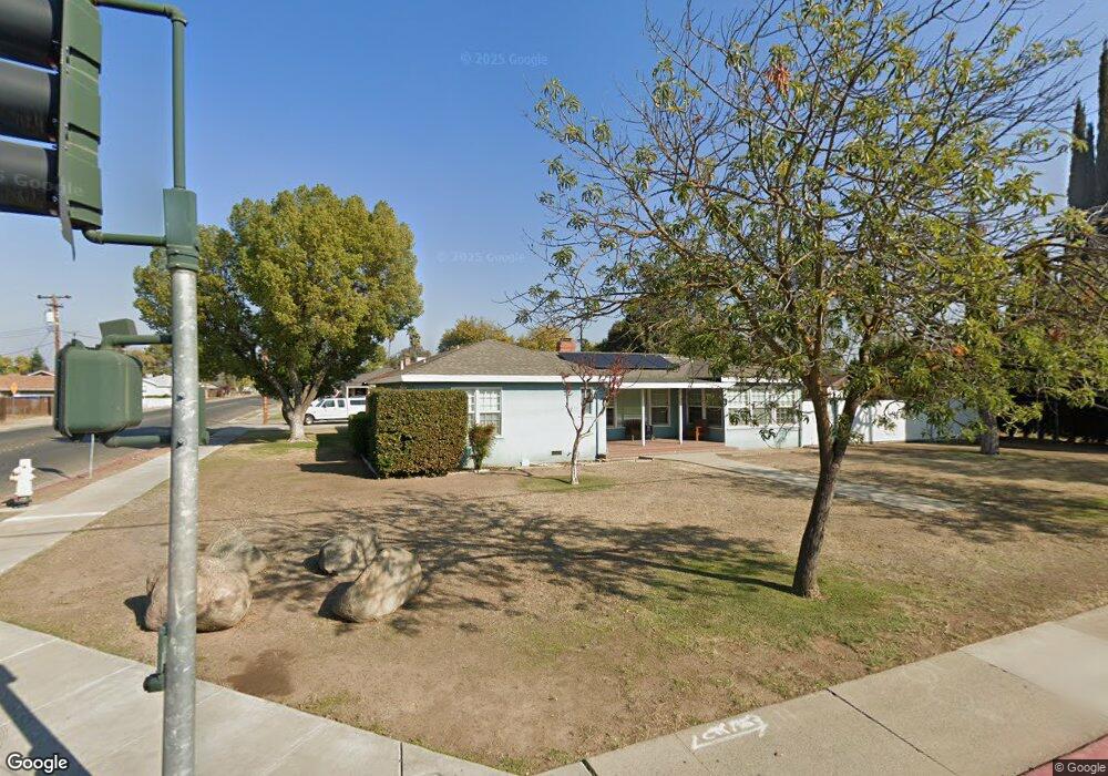
701 E 21st St Merced, CA 95340
Estimated Value: $370,000 - $378,924
3
Beds
2
Baths
2,044
Sq Ft
$184/Sq Ft
Est. Value
About This Home
This home is located at 701 E 21st St, Merced, CA 95340 and is currently estimated at $375,231, approximately $183 per square foot. 701 E 21st St is a home located in Merced County with nearby schools including Charles Wright Elementary School, Herbert Hoover Middle School, and Golden Valley High School.
Ownership History
Date
Name
Owned For
Owner Type
Purchase Details
Closed on
Dec 28, 1999
Sold by
Biegonis Adam V and Biegonis Thalia M
Bought by
Hall Don J and Johnson Jeanne Elaine
Current Estimated Value
Home Financials for this Owner
Home Financials are based on the most recent Mortgage that was taken out on this home.
Original Mortgage
$119,019
Outstanding Balance
$37,901
Interest Rate
7.87%
Mortgage Type
FHA
Estimated Equity
$337,330
Create a Home Valuation Report for This Property
The Home Valuation Report is an in-depth analysis detailing your home's value as well as a comparison with similar homes in the area
Purchase History
| Date | Buyer | Sale Price | Title Company |
|---|---|---|---|
| Hall Don J | $120,000 | Chicago Title Co |
Source: Public Records
Mortgage History
| Date | Status | Borrower | Loan Amount |
|---|---|---|---|
| Open | Hall Don J | $119,019 |
Source: Public Records
Tax History
| Year | Tax Paid | Tax Assessment Tax Assessment Total Assessment is a certain percentage of the fair market value that is determined by local assessors to be the total taxable value of land and additions on the property. | Land | Improvement |
|---|---|---|---|---|
| 2025 | $1,959 | $184,411 | $49,168 | $135,243 |
| 2024 | $1,959 | $180,796 | $48,204 | $132,592 |
| 2023 | $1,932 | $177,252 | $47,259 | $129,993 |
| 2022 | $1,906 | $173,778 | $46,333 | $127,445 |
| 2021 | $1,901 | $170,372 | $45,425 | $124,947 |
| 2020 | $1,915 | $168,626 | $44,960 | $123,666 |
| 2019 | $1,886 | $165,321 | $44,079 | $121,242 |
| 2018 | $1,721 | $162,080 | $43,215 | $118,865 |
| 2017 | $1,786 | $158,903 | $42,368 | $116,535 |
| 2016 | $1,759 | $155,788 | $41,538 | $114,250 |
| 2015 | $1,731 | $153,449 | $40,915 | $112,534 |
| 2014 | $1,694 | $150,444 | $40,114 | $110,330 |
Source: Public Records
Map
Nearby Homes
- 651 E 21st St
- 2199 Glen Ave
- 1850 Glen Ave
- 598 E 19th St
- 2250 Orchard Ln
- 1888 Orchard Ln
- 890 Barney St
- 789 Yosemite Pkwy
- 1070 E 23rd St
- 901 Barney St
- 898 Yosemite Pkwy
- 941 Barney St
- 0 Stretch Rd Unit MC21265605
- 981 Barney St
- 2238 Wood St
- 2319 Wood St
- 1111 Barney St
- 365 E Main St
- 355 E Main St
- 1405 E 22nd St
Your Personal Tour Guide
Ask me questions while you tour the home.