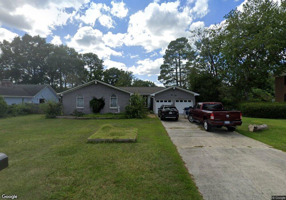
701 Hatrick Rd Columbia, SC 29209
The Hamptons NeighborhoodEstimated Value: $243,000 - $396,000
4
Beds
3
Baths
2,904
Sq Ft
$123/Sq Ft
Est. Value
About This Home
This home is located at 701 Hatrick Rd, Columbia, SC 29209 and is currently estimated at $357,418, approximately $123 per square foot. 701 Hatrick Rd is a home located in Richland County with nearby schools including Meadowfield Elementary School, Hand Middle School, and Dreher High School.
Ownership History
Date
Name
Owned For
Owner Type
Purchase Details
Closed on
Dec 19, 2003
Sold by
Radovich Ethel G and Radovich Ethel Griffith
Bought by
Swanson Samuel A and Swanson Cindy L
Current Estimated Value
Home Financials for this Owner
Home Financials are based on the most recent Mortgage that was taken out on this home.
Original Mortgage
$114,000
Interest Rate
5.97%
Mortgage Type
Purchase Money Mortgage
Purchase Details
Closed on
Dec 17, 2003
Sold by
Radovich Ethel and Estate Of Steven Joseph Radovi
Bought by
Radovich Ethel
Home Financials for this Owner
Home Financials are based on the most recent Mortgage that was taken out on this home.
Original Mortgage
$114,000
Interest Rate
5.97%
Mortgage Type
Purchase Money Mortgage
Create a Home Valuation Report for This Property
The Home Valuation Report is an in-depth analysis detailing your home's value as well as a comparison with similar homes in the area
Home Values in the Area
Average Home Value in this Area
Purchase History
| Date | Buyer | Sale Price | Title Company |
|---|---|---|---|
| Swanson Samuel A | $120,000 | -- | |
| Radovich Ethel | -- | -- |
Source: Public Records
Mortgage History
| Date | Status | Borrower | Loan Amount |
|---|---|---|---|
| Closed | Swanson Samuel A | $114,000 |
Source: Public Records
Tax History Compared to Growth
Tax History
| Year | Tax Paid | Tax Assessment Tax Assessment Total Assessment is a certain percentage of the fair market value that is determined by local assessors to be the total taxable value of land and additions on the property. | Land | Improvement |
|---|---|---|---|---|
| 2024 | $1,812 | $276,200 | $0 | $0 |
| 2023 | $1,812 | $9,608 | $0 | $0 |
| 2022 | $1,931 | $240,200 | $33,600 | $206,600 |
| 2021 | $1,951 | $9,610 | $0 | $0 |
| 2020 | $1,987 | $9,610 | $0 | $0 |
| 2019 | $1,973 | $9,610 | $0 | $0 |
| 2018 | $1,752 | $8,360 | $0 | $0 |
| 2017 | $1,513 | $7,230 | $0 | $0 |
| 2016 | $1,506 | $7,230 | $0 | $0 |
| 2015 | $1,462 | $7,230 | $0 | $0 |
| 2014 | $1,416 | $180,700 | $0 | $0 |
| 2013 | -- | $7,230 | $0 | $0 |
Source: Public Records
Map
Nearby Homes
- 821 Walters Ln
- 513 Knollwood Dr
- 811 Rockwood Rd
- 6627 Christie Rd
- 6603 Christie Rd
- 444 Cami Forest Ln
- 509 Burnside Dr
- 755 Burnside Dr
- 1040 Coatesdale Rd
- 6400 Saye Cut
- 206 Hampton Forest Dr
- 497 Galway Ln
- 1284 Rockwood Rd
- 404 Hampton Forest Dr
- 411 Hampton Forest Dr
- 109 Rosebank Dr
- 405 Black Friars Rd
- 604 Hampton Trace Ln
- 148 Cottage Lake Way
- 622 Chimney Hill Rd