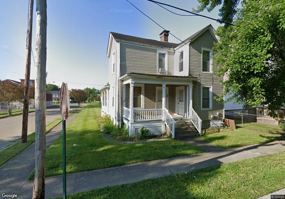
701 Maple St Wyoming, OH 45215
Estimated Value: $109,000 - $183,000
4
Beds
2
Baths
1,464
Sq Ft
$95/Sq Ft
Est. Value
About This Home
This home is located at 701 Maple St, Wyoming, OH 45215 and is currently estimated at $138,581, approximately $94 per square foot. 701 Maple St is a home located in Hamilton County with nearby schools including Lockland Elementary School, Lockland Middle School, and Lockland High School.
Ownership History
Date
Name
Owned For
Owner Type
Purchase Details
Closed on
Apr 12, 2001
Sold by
Approved Residential Mtg Inc
Bought by
Williams Derrick
Current Estimated Value
Purchase Details
Closed on
Dec 20, 2000
Sold by
Saunders William S and Saunders Lanetta
Bought by
Approved Residential Mtg Inc
Purchase Details
Closed on
Aug 30, 1995
Sold by
Stewart James R
Bought by
Saunders William S
Create a Home Valuation Report for This Property
The Home Valuation Report is an in-depth analysis detailing your home's value as well as a comparison with similar homes in the area
Home Values in the Area
Average Home Value in this Area
Purchase History
| Date | Buyer | Sale Price | Title Company |
|---|---|---|---|
| Williams Derrick | $22,000 | -- | |
| Approved Residential Mtg Inc | $26,000 | -- | |
| Saunders William S | -- | -- |
Source: Public Records
Tax History Compared to Growth
Tax History
| Year | Tax Paid | Tax Assessment Tax Assessment Total Assessment is a certain percentage of the fair market value that is determined by local assessors to be the total taxable value of land and additions on the property. | Land | Improvement |
|---|---|---|---|---|
| 2024 | $1,240 | $21,596 | $3,875 | $17,721 |
| 2023 | $1,228 | $21,596 | $3,875 | $17,721 |
| 2022 | $1,321 | $18,652 | $2,748 | $15,904 |
| 2021 | $1,337 | $18,652 | $2,748 | $15,904 |
| 2020 | $1,145 | $18,652 | $2,748 | $15,904 |
| 2019 | $1,230 | $18,652 | $2,748 | $15,904 |
| 2018 | $1,211 | $18,652 | $2,748 | $15,904 |
| 2017 | $1,154 | $18,652 | $2,748 | $15,904 |
| 2016 | $1,164 | $18,869 | $2,930 | $15,939 |
| 2015 | $1,082 | $18,869 | $2,930 | $15,939 |
| 2014 | $1,079 | $18,869 | $2,930 | $15,939 |
| 2013 | $1,032 | $18,502 | $2,874 | $15,628 |
Source: Public Records
Map
Nearby Homes
- 127 Locust St
- 715 Worthington Ave
- 452 W Wyoming Ave
- 214 Harriet St
- 405 Mcewing Dr
- 218 Lock St
- 217 W Wyoming Ave
- 740 Springfield Pike
- 964 Shepherd Ln
- 310 Westview Ave
- 405 W Forrer St
- 1337 Shepherd Ln
- 503 W Forrer St
- 334 Williams St
- 1239 Springfield Pike
- 55 Forest Ave
- 410 Rolef Ave
- 20 Sherry Rd
- 320 Reily Rd
- 22 Ritchie Ave