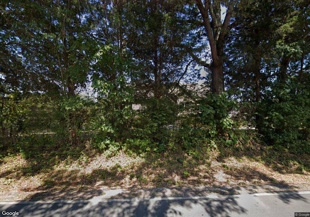
701 Salem Ridge Rd Clarksville, TN 37040
Estimated Value: $505,604 - $555,000
4
Beds
3
Baths
2,594
Sq Ft
$206/Sq Ft
Est. Value
About This Home
This home is located at 701 Salem Ridge Rd, Clarksville, TN 37040 and is currently estimated at $533,151, approximately $205 per square foot. 701 Salem Ridge Rd is a home located in Montgomery County with nearby schools including Cumberland Heights Elementary School, Montgomery Central Middle School, and Montgomery Central High School.
Ownership History
Date
Name
Owned For
Owner Type
Purchase Details
Closed on
Jun 15, 2018
Sold by
C Blackwell Construction Inc
Bought by
Broadnax Richard and Broadnax Rita
Current Estimated Value
Home Financials for this Owner
Home Financials are based on the most recent Mortgage that was taken out on this home.
Original Mortgage
$321,670
Outstanding Balance
$278,813
Interest Rate
4.6%
Mortgage Type
VA
Estimated Equity
$254,338
Purchase Details
Closed on
Jan 23, 2018
Sold by
Bryant Land Partnership
Bought by
C Blackwell Construction Inc
Create a Home Valuation Report for This Property
The Home Valuation Report is an in-depth analysis detailing your home's value as well as a comparison with similar homes in the area
Home Values in the Area
Average Home Value in this Area
Purchase History
| Date | Buyer | Sale Price | Title Company |
|---|---|---|---|
| Broadnax Richard | $314,900 | -- | |
| C Blackwell Construction Inc | $80,000 | -- |
Source: Public Records
Mortgage History
| Date | Status | Borrower | Loan Amount |
|---|---|---|---|
| Open | Broadnax Richard | $321,670 |
Source: Public Records
Tax History Compared to Growth
Tax History
| Year | Tax Paid | Tax Assessment Tax Assessment Total Assessment is a certain percentage of the fair market value that is determined by local assessors to be the total taxable value of land and additions on the property. | Land | Improvement |
|---|---|---|---|---|
| 2024 | $2,749 | $130,900 | $0 | $0 |
| 2023 | $2,749 | $74,950 | $0 | $0 |
| 2022 | $2,241 | $74,950 | $0 | $0 |
| 2021 | $2,241 | $74,950 | $0 | $0 |
| 2020 | $2,241 | $74,950 | $0 | $0 |
| 2019 | $2,241 | $74,950 | $0 | $0 |
| 2018 | $919 | $60,400 | $0 | $0 |
| 2017 | $295 | $9,625 | $0 | $0 |
Source: Public Records
Map
Nearby Homes
- 1152 Mcclure Rd
- 750 Old Highway 48
- 684 Belmont Rd
- 2442 Seven Mile Ferry Rd
- 2360 Seven Mile Ferry Rd
- 845 Mcclure Rd
- 2319 Seven Mile Ferry Rd
- 851 Belmont Rd
- 300 Belmont Rd
- 938 Belmont Rd
- 2544 Highway 48
- 2731 Patricia Ln
- 2009 Seven Mile Ferry Rd
- 2101 Ferry Rd
- 0 Ferry Rd Unit RTC2899020
- 1 Ferry Rd
- 2117 Ferry Rd
- 2031 Ferry Rd
- 1325 Huggins Rd
- 3190 Marthas Chapel Rd
- 701 Salem Ridge Rd
- 691 Salem Ridge Rd
- 710 Salem Ridge Rd
- 696 Salem Ridge Rd
- 681 Salem Ridge Rd
- 692 Salem Ridge Rd
- 681 681 Salem Ridge Road (Lot 3)
- 3 The Ridge
- 735 Salem Ridge Rd
- 688 Salem Ridge Rd
- 671 Salem Ridge Rd
- 739 Salem Ridge Rd
- 676 Salem Ridge Rd
- 3 Salems Ridge
- 661 Salem Ridge Rd
- 18 Salem Ridge Rd
- 4 Salem Ridge Rd
- 5 Salem Ridge Rd
- 684 Salem Ridge Rd
- 650 Salem Ridge Rd
