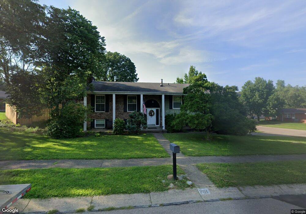
701 St Dunston Ct West Carrollton, OH 45449
Estimated Value: $253,000 - $308,000
4
Beds
2
Baths
2,263
Sq Ft
$123/Sq Ft
Est. Value
About This Home
This home is located at 701 St Dunston Ct, West Carrollton, OH 45449 and is currently estimated at $277,875, approximately $122 per square foot. 701 St Dunston Ct is a home located in Montgomery County with nearby schools including West Carrollton High School, Miami Valley Academies, and Bethel Baptist School.
Ownership History
Date
Name
Owned For
Owner Type
Purchase Details
Closed on
Apr 6, 2016
Sold by
Middleton John Adam and Scalf Laura Candace
Bought by
Bowen Benjamin K
Current Estimated Value
Home Financials for this Owner
Home Financials are based on the most recent Mortgage that was taken out on this home.
Original Mortgage
$153,174
Outstanding Balance
$121,447
Interest Rate
3.62%
Mortgage Type
FHA
Estimated Equity
$156,428
Purchase Details
Closed on
Nov 4, 2010
Sold by
Kline David L and Kline Carolyn E
Bought by
Middleton John Adam and Scalf Laura Candace
Home Financials for this Owner
Home Financials are based on the most recent Mortgage that was taken out on this home.
Original Mortgage
$140,705
Interest Rate
4.5%
Mortgage Type
FHA
Create a Home Valuation Report for This Property
The Home Valuation Report is an in-depth analysis detailing your home's value as well as a comparison with similar homes in the area
Home Values in the Area
Average Home Value in this Area
Purchase History
| Date | Buyer | Sale Price | Title Company |
|---|---|---|---|
| Bowen Benjamin K | $156,000 | First Ohio Title Insurance | |
| Middleton John Adam | $142,600 | Attorney |
Source: Public Records
Mortgage History
| Date | Status | Borrower | Loan Amount |
|---|---|---|---|
| Open | Bowen Benjamin K | $153,174 | |
| Previous Owner | Middleton John Adam | $140,705 |
Source: Public Records
Tax History Compared to Growth
Tax History
| Year | Tax Paid | Tax Assessment Tax Assessment Total Assessment is a certain percentage of the fair market value that is determined by local assessors to be the total taxable value of land and additions on the property. | Land | Improvement |
|---|---|---|---|---|
| 2024 | $4,461 | $73,860 | $11,730 | $62,130 |
| 2023 | $4,461 | $73,860 | $11,730 | $62,130 |
| 2022 | $4,225 | $55,100 | $8,750 | $46,350 |
| 2021 | $4,232 | $55,100 | $8,750 | $46,350 |
| 2020 | $4,231 | $55,100 | $8,750 | $46,350 |
| 2019 | $3,752 | $45,080 | $8,750 | $36,330 |
| 2018 | $3,510 | $45,080 | $8,750 | $36,330 |
| 2017 | $3,485 | $45,080 | $8,750 | $36,330 |
| 2016 | $3,438 | $43,390 | $8,750 | $34,640 |
| 2015 | $3,153 | $43,390 | $8,750 | $34,640 |
| 2014 | $3,153 | $43,390 | $8,750 | $34,640 |
| 2012 | -- | $41,620 | $12,250 | $29,370 |
Source: Public Records
Map
Nearby Homes
- 609 Kings Cross Ct
- 500 Lincoln Green Dr
- 432 Crusader Dr
- 1100 S Elm St
- 1153 King Richard Pkwy
- 2125 Sherwood Forest Dr
- 275 Orchard Hill Dr
- 1606 Pine Tree Ln Unit 38
- 2302 King Richard Pkwy
- 1109 Arrowhead Crossing Unit A
- 1320 S Alex Rd
- 430 Donington Dr
- 838 Maid Marion Ct
- 1104 Arrowhead Crossing Unit B
- 354 Ellenwood Dr
- 1112 Eagle Feather Cir Unit A
- 1116 Eagle Feather Cir Unit E
- 2061 Pine Forest Dr
- 1803 Cudgell Dr
- 700 N Gebhart Church Rd
- 701 Saint Dunston Ct
- 1313 Black Forest Dr
- 1325 Black Forest Dr
- 707 Saint Dunston Ct
- 1322 Black Forest Dr Unit 24
- 1322 Black Forest Dr Unit 23
- 1322 Black Forest Dr Unit 22
- 1309 Black Forest Dr
- 1318 Black Forest Dr
- 1326 Black Forest Dr Unit C
- 1326 Black Forest Dr Unit 21
- 1326 Black Forest Dr Unit 20
- 1326 Black Forest Dr Unit 19
- 1326 Black Forest Dr Unit A
- 1326 Black Forest Dr
- 704 Saint Dunston Ct
- 712 Saint Dunston Ct
- 1329 Black Forest Dr
- 708 Saint Dunston Ct
- 1305 Black Forest Dr