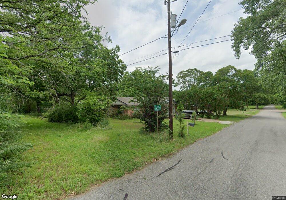
701 Star St Denison, TX 75020
Estimated Value: $247,443 - $255,000
Studio
--
Bath
2,135
Sq Ft
$118/Sq Ft
Est. Value
About This Home
This home is located at 701 Star St, Denison, TX 75020 and is currently estimated at $251,222, approximately $117 per square foot. 701 Star St is a home located in Grayson County with nearby schools including Scott Middle School, Denison High School, and St. Luke's Parish Day School.
Ownership History
Date
Name
Owned For
Owner Type
Purchase Details
Closed on
Aug 25, 2025
Sold by
Texas Integrity Real Estate Llc and Cerrato Fernando
Bought by
Dpg Investments Llc
Current Estimated Value
Purchase Details
Closed on
Apr 16, 2025
Sold by
Stapp William Cody and Stapp Brian Douglas
Bought by
Texas Integrity Real Estate Llc and Cerrato
Home Financials for this Owner
Home Financials are based on the most recent Mortgage that was taken out on this home.
Original Mortgage
$216,707
Interest Rate
6.63%
Mortgage Type
Construction
Create a Home Valuation Report for This Property
The Home Valuation Report is an in-depth analysis detailing your home's value as well as a comparison with similar homes in the area
Home Values in the Area
Average Home Value in this Area
Purchase History
| Date | Buyer | Sale Price | Title Company |
|---|---|---|---|
| Dpg Investments Llc | -- | Grayson County Title | |
| Texas Integrity Real Estate Llc | -- | Grayson County Title |
Source: Public Records
Mortgage History
| Date | Status | Borrower | Loan Amount |
|---|---|---|---|
| Previous Owner | Texas Integrity Real Estate Llc | $216,707 |
Source: Public Records
Tax History
| Year | Tax Paid | Tax Assessment Tax Assessment Total Assessment is a certain percentage of the fair market value that is determined by local assessors to be the total taxable value of land and additions on the property. | Land | Improvement |
|---|---|---|---|---|
| 2025 | $4,363 | $183,091 | $70,454 | $112,637 |
| 2024 | $4,363 | $187,811 | $70,454 | $117,357 |
| 2023 | $3,913 | $172,699 | $63,370 | $109,329 |
| 2022 | $3,757 | $158,118 | $57,466 | $100,652 |
| 2021 | $3,145 | $124,690 | $31,291 | $93,399 |
| 2020 | $1,847 | $119,592 | $26,371 | $93,221 |
| 2019 | $3,279 | $119,163 | $26,371 | $92,792 |
| 2018 | $1,605 | $89,441 | $14,563 | $74,878 |
| 2017 | $1,472 | $71,926 | $7,478 | $64,448 |
| 2016 | $1,338 | $71,780 | $7,478 | $64,302 |
| 2015 | $402 | $43,476 | $7,478 | $35,998 |
| 2014 | $552 | $43,476 | $7,478 | $35,998 |
Source: Public Records
Map
Nearby Homes
- 701 W Star St
- 711 Dubois St
- 618 Star St
- 611 W Baker St
- 2931 S Barrett Ave
- 603 W Star St
- 614 Rice St
- 901 Dubois St
- 916 W Collins St
- 501 W Collins St
- 2526 S Fannin Ave Unit 2600
- 929 W Collins St
- 905 Seymore Cir
- 513 W Coffin St
- 509 W Coffin St
- 1020 Rice St
- 3101 S College Blvd
- 2000 S Fannin Ave
- 516 Forrest Ln
- 1901 Woodlawn Blvd
Your Personal Tour Guide
Ask me questions while you tour the home.