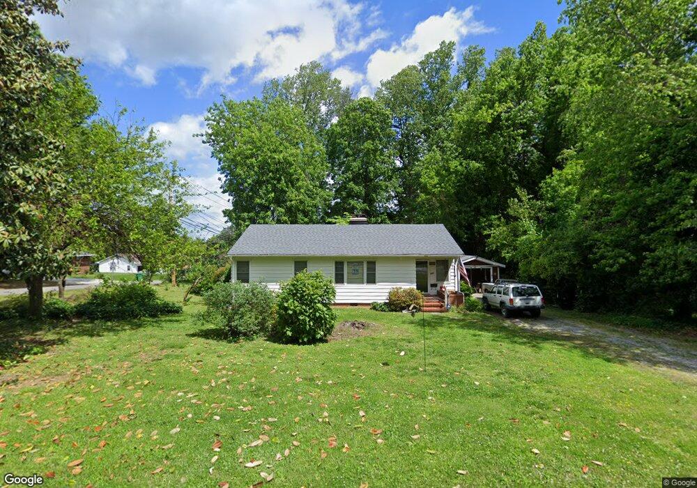
701 Summit Rd High Point, NC 27265
Greater High Point NeighborhoodEstimated Value: $178,806 - $204,000
2
Beds
1
Bath
1,060
Sq Ft
$177/Sq Ft
Est. Value
About This Home
This home is located at 701 Summit Rd, High Point, NC 27265 and is currently estimated at $187,952, approximately $177 per square foot. 701 Summit Rd is a home located in Guilford County with nearby schools including Montlieu Academy of Technology, Welborn Academy of Science & Technology, and T.W. Andrews High School.
Ownership History
Date
Name
Owned For
Owner Type
Purchase Details
Closed on
Jun 27, 2003
Sold by
Zera Karen Rhea
Bought by
Cruthis Stephanie A
Current Estimated Value
Home Financials for this Owner
Home Financials are based on the most recent Mortgage that was taken out on this home.
Original Mortgage
$74,000
Outstanding Balance
$28,469
Interest Rate
4%
Mortgage Type
Purchase Money Mortgage
Estimated Equity
$159,483
Create a Home Valuation Report for This Property
The Home Valuation Report is an in-depth analysis detailing your home's value as well as a comparison with similar homes in the area
Home Values in the Area
Average Home Value in this Area
Purchase History
| Date | Buyer | Sale Price | Title Company |
|---|---|---|---|
| Cruthis Stephanie A | $74,000 | -- |
Source: Public Records
Mortgage History
| Date | Status | Borrower | Loan Amount |
|---|---|---|---|
| Open | Cruthis Stephanie A | $74,000 |
Source: Public Records
Tax History
| Year | Tax Paid | Tax Assessment Tax Assessment Total Assessment is a certain percentage of the fair market value that is determined by local assessors to be the total taxable value of land and additions on the property. | Land | Improvement |
|---|---|---|---|---|
| 2025 | $1,454 | $105,500 | $30,000 | $75,500 |
| 2024 | $1,454 | $105,500 | $30,000 | $75,500 |
| 2023 | $1,454 | $105,500 | $30,000 | $75,500 |
| 2022 | $1,422 | $105,500 | $30,000 | $75,500 |
| 2021 | $1,124 | $81,600 | $25,000 | $56,600 |
| 2020 | $1,124 | $81,600 | $25,000 | $56,600 |
| 2019 | $1,124 | $81,600 | $0 | $0 |
| 2018 | $1,119 | $81,600 | $0 | $0 |
| 2017 | $1,124 | $81,600 | $0 | $0 |
| 2016 | $1,025 | $73,100 | $0 | $0 |
| 2015 | $1,031 | $73,100 | $0 | $0 |
| 2014 | $1,048 | $73,100 | $0 | $0 |
Source: Public Records
Map
Nearby Homes
- 423 Dogwood Cir
- 1227 Greensboro Rd
- 211 Spencer St
- 122 Orville Dr
- 2373 Dukes Hollow Ct
- 3226 Derby Cir
- 120 Orville Dr
- 1456 London Dr
- 2429 Dukes Hollow Ct
- 2700 Edenridge Dr
- 113 Red Plum Ln
- 2101 Arbrook Ln
- 1217 Lakeview Heights Dr
- 2606 Wexford Place
- 2462 Dukes Hollow Ct
- 2674 Splitbrooke Dr
- 2706 Edenridge Dr
- 1451 Finsbury Ln
- 1746 Stoneybrook Dr
- 2507 E Lexington Ave
- 703 Summit Rd
- 308 Lindale Dr
- 301 Lindale Dr
- 310 Lindale Dr
- 303 Lindale Dr
- 705 Summit Rd
- 700 Summit Rd
- 312 Lindale Dr
- 207 Lindale Dr
- 702 Summit Rd
- 305 Lindale Dr
- 707 Summit Rd
- 302 Hampton Dr
- 300 Hampton Dr
- 304 Hampton Dr
- 205 Lindale Dr
- 210 Hampton Dr
- 306 Hampton Dr
- 706 Summit Rd
- 701 Locust Place Unit Locust
Your Personal Tour Guide
Ask me questions while you tour the home.