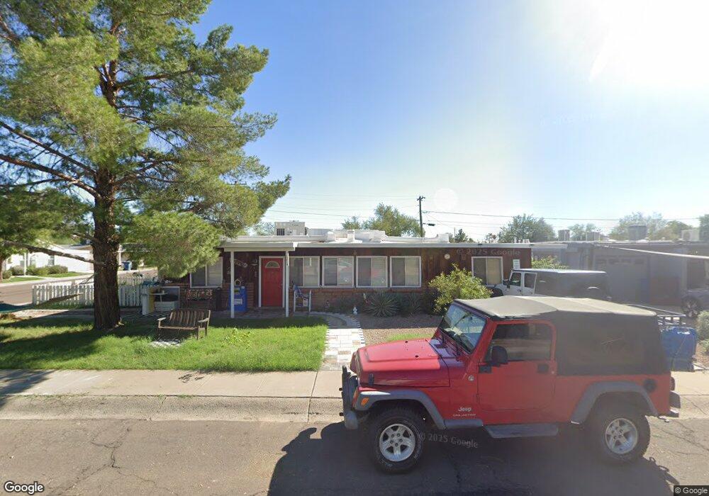
701 W Howe St Tempe, AZ 85281
Mitchell Park West NeighborhoodEstimated Value: $454,454 - $559,000
Studio
2
Baths
1,971
Sq Ft
$262/Sq Ft
Est. Value
About This Home
This home is located at 701 W Howe St, Tempe, AZ 85281 and is currently estimated at $515,614, approximately $261 per square foot. 701 W Howe St is a home located in Maricopa County with nearby schools including Geneva Epps Mosley Middle School, Tempe High School, and New School for the Arts & Academics.
Ownership History
Date
Name
Owned For
Owner Type
Purchase Details
Closed on
Feb 28, 2017
Sold by
Falgout Joann and Riffle John R
Bought by
Riffle John R
Current Estimated Value
Home Financials for this Owner
Home Financials are based on the most recent Mortgage that was taken out on this home.
Original Mortgage
$195,500
Interest Rate
4.19%
Mortgage Type
New Conventional
Purchase Details
Closed on
May 14, 1999
Sold by
Falgout Dennis A and Falgout Barbara W
Bought by
Riffle John and Falgout Joann
Home Financials for this Owner
Home Financials are based on the most recent Mortgage that was taken out on this home.
Original Mortgage
$87,850
Interest Rate
6.92%
Create a Home Valuation Report for This Property
The Home Valuation Report is an in-depth analysis detailing your home's value as well as a comparison with similar homes in the area
Home Values in the Area
Average Home Value in this Area
Purchase History
| Date | Buyer | Sale Price | Title Company |
|---|---|---|---|
| Riffle John R | -- | Pioneer Title Agency Inc | |
| Riffle John | $92,500 | Nations Title Insurance |
Source: Public Records
Mortgage History
| Date | Status | Borrower | Loan Amount |
|---|---|---|---|
| Closed | Riffle John R | $195,500 | |
| Closed | Riffle John | $87,850 |
Source: Public Records
Tax History
| Year | Tax Paid | Tax Assessment Tax Assessment Total Assessment is a certain percentage of the fair market value that is determined by local assessors to be the total taxable value of land and additions on the property. | Land | Improvement |
|---|---|---|---|---|
| 2025 | $2,399 | $23,009 | -- | -- |
| 2024 | $2,201 | $21,914 | -- | -- |
| 2023 | $2,201 | $39,170 | $7,830 | $31,340 |
| 2022 | $2,102 | $29,270 | $5,850 | $23,420 |
| 2021 | $2,143 | $27,460 | $5,490 | $21,970 |
| 2020 | $2,072 | $25,200 | $5,040 | $20,160 |
| 2019 | $2,032 | $25,100 | $5,020 | $20,080 |
| 2018 | $1,978 | $22,580 | $4,510 | $18,070 |
| 2017 | $1,916 | $20,810 | $4,160 | $16,650 |
| 2016 | $1,907 | $20,480 | $4,090 | $16,390 |
| 2015 | $1,844 | $19,360 | $3,870 | $15,490 |
Source: Public Records
Map
Nearby Homes
- 1215 S Judd St
- 522 W Howe St
- 617 W 13th St
- 611 W 13th St
- 826 W 12th St
- 1321 S Mckemy St
- 1218 S Farmer Ave
- 1234 S Farmer Ave
- 1101 S Farmer Ave
- 1201 S Farmer Ave Unit 1
- 406 W 14th St
- 919 S Wilson St Unit 5
- 915 S Wilson St Unit 4
- 535 W 15th St
- 410 W Parkway Blvd
- 914 S Farmer Ave
- 1621 S Marilyn Ann Dr
- 942 S Ash Ave Unit 103
- 700 W University Dr Unit 122
- 700 W University Dr Unit 241
Your Personal Tour Guide
Ask me questions while you tour the home.