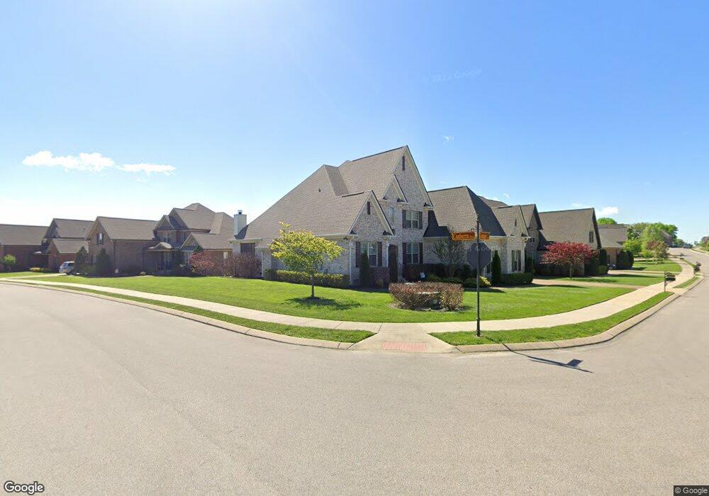
7012 Kidman Ln Spring Hill, TN 37174
Estimated Value: $935,000 - $999,000
--
Bed
4
Baths
4,062
Sq Ft
$239/Sq Ft
Est. Value
About This Home
This home is located at 7012 Kidman Ln, Spring Hill, TN 37174 and is currently estimated at $971,097, approximately $239 per square foot. 7012 Kidman Ln is a home located in Williamson County with nearby schools including Allendale Elementary School, Spring Station Middle School, and Summit High School.
Ownership History
Date
Name
Owned For
Owner Type
Purchase Details
Closed on
Mar 18, 2016
Sold by
Meadowbrook Companies Llc
Bought by
Bell John Scott and Bell Tamala
Current Estimated Value
Home Financials for this Owner
Home Financials are based on the most recent Mortgage that was taken out on this home.
Original Mortgage
$280,000
Outstanding Balance
$221,839
Interest Rate
3.68%
Mortgage Type
New Conventional
Estimated Equity
$749,258
Purchase Details
Closed on
Jul 1, 2015
Sold by
Cameron Don R
Bought by
Meadowbrook Companies Llc
Home Financials for this Owner
Home Financials are based on the most recent Mortgage that was taken out on this home.
Original Mortgage
$404,000
Interest Rate
3.92%
Mortgage Type
Construction
Create a Home Valuation Report for This Property
The Home Valuation Report is an in-depth analysis detailing your home's value as well as a comparison with similar homes in the area
Home Values in the Area
Average Home Value in this Area
Purchase History
| Date | Buyer | Sale Price | Title Company |
|---|---|---|---|
| Bell John Scott | $519,900 | None Available | |
| Meadowbrook Companies Llc | $90,000 | Mid State Title & Escrow Inc |
Source: Public Records
Mortgage History
| Date | Status | Borrower | Loan Amount |
|---|---|---|---|
| Open | Bell John Scott | $280,000 | |
| Previous Owner | Meadowbrook Companies Llc | $404,000 |
Source: Public Records
Tax History Compared to Growth
Tax History
| Year | Tax Paid | Tax Assessment Tax Assessment Total Assessment is a certain percentage of the fair market value that is determined by local assessors to be the total taxable value of land and additions on the property. | Land | Improvement |
|---|---|---|---|---|
| 2024 | $1,157 | $156,625 | $27,500 | $129,125 |
| 2023 | $1,157 | $156,625 | $27,500 | $129,125 |
| 2022 | $2,866 | $156,625 | $27,500 | $129,125 |
| 2021 | $2,866 | $156,625 | $27,500 | $129,125 |
| 2020 | $2,644 | $122,400 | $22,000 | $100,400 |
| 2019 | $2,644 | $122,400 | $22,000 | $100,400 |
| 2018 | $2,558 | $122,400 | $22,000 | $100,400 |
| 2017 | $2,534 | $122,400 | $22,000 | $100,400 |
| 2016 | $2,023 | $99,150 | $22,000 | $77,150 |
| 2015 | -- | $0 | $0 | $0 |
Source: Public Records
Map
Nearby Homes
- 2965 Stewart Campbell Point
- 2957 Stewart Campbell Point
- 1075 Brixworth Dr
- 2004 Brisbane Dr
- 5958 Hunt Valley Dr
- 5954 Hunt Valley Dr
- 5952 Hunt Valley Dr
- 5956 Hunt Valley Dr
- 5957 Hunt Valley Dr
- 5969 Hunt Valley Dr
- 5963 Hunt Valley Dr
- 5959 Hunt Valley Dr
- 1095 Brixworth Dr
- 2999 Stewart Campbell Point
- 1958 Harmony Rd
- 2935 Stewart Campbell Point
- 1425 Round Hill Ln
- 1956 Harmony Rd
- 1384 Round Hill Ln
- 1952 Harmony Rd
- 7012 Kidman Ln
- 4006 Canberra Drive (369)
- 4007 Canberra Dr
- 7010 Kidman Ln
- 4007 Canberra Dr
- 7010 Kidman Lane (310)
- 4008 Canberra Dr
- 7013 Kidman Ln
- 7008 Kidman Ln
- 4008 Canberra Dr
- 7008 Kidman Ln
- 4010 Canberra Dr
- 7013 Kidman Ln
- 7011 Kidman Ln
- 6003 Canberra Ct
- 4005 Canberra Dr
- 7011 Kidman Ln
- 4005 Canberra Dr
- 6003 Canberra Court (314)
- 4012 Canberra Dr