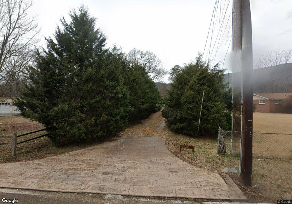
7013 Levi Rd Hixson, TN 37343
Falling Water NeighborhoodEstimated Value: $252,000 - $336,000
3
Beds
2
Baths
1,100
Sq Ft
$268/Sq Ft
Est. Value
About This Home
This home is located at 7013 Levi Rd, Hixson, TN 37343 and is currently estimated at $294,608, approximately $267 per square foot. 7013 Levi Rd is a home located in Hamilton County with nearby schools including Ganns Middle Valley Elementary School, Red Bank Middle School, and Red Bank High School.
Ownership History
Date
Name
Owned For
Owner Type
Purchase Details
Closed on
Sep 11, 2006
Sold by
Dills Michael C
Bought by
Cox Justin M and Cox Amanda B
Current Estimated Value
Home Financials for this Owner
Home Financials are based on the most recent Mortgage that was taken out on this home.
Original Mortgage
$92,000
Outstanding Balance
$54,119
Interest Rate
6.58%
Mortgage Type
Purchase Money Mortgage
Estimated Equity
$240,489
Purchase Details
Closed on
Feb 20, 2004
Sold by
Davis Beverly D and Sykes Emma J
Bought by
Dills Michael C
Home Financials for this Owner
Home Financials are based on the most recent Mortgage that was taken out on this home.
Original Mortgage
$92,171
Interest Rate
5.87%
Mortgage Type
FHA
Purchase Details
Closed on
Jan 26, 1996
Sold by
Stevens Cifers Elsie
Bought by
Davis Beverly D
Create a Home Valuation Report for This Property
The Home Valuation Report is an in-depth analysis detailing your home's value as well as a comparison with similar homes in the area
Home Values in the Area
Average Home Value in this Area
Purchase History
| Date | Buyer | Sale Price | Title Company |
|---|---|---|---|
| Cox Justin M | $115,000 | Northgate Title Escrow Inc | |
| Dills Michael C | $92,900 | Northgate Title Escrow Inc | |
| Davis Beverly D | $61,850 | -- |
Source: Public Records
Mortgage History
| Date | Status | Borrower | Loan Amount |
|---|---|---|---|
| Open | Cox Justin M | $92,000 | |
| Previous Owner | Dills Michael C | $92,171 |
Source: Public Records
Tax History
| Year | Tax Paid | Tax Assessment Tax Assessment Total Assessment is a certain percentage of the fair market value that is determined by local assessors to be the total taxable value of land and additions on the property. | Land | Improvement |
|---|---|---|---|---|
| 2025 | $1,094 | $72,150 | $0 | $0 |
| 2024 | $1,120 | $50,075 | $0 | $0 |
| 2023 | $1,129 | $50,075 | $0 | $0 |
| 2022 | $1,129 | $50,075 | $0 | $0 |
| 2021 | $1,129 | $50,075 | $0 | $0 |
| 2020 | $1,071 | $38,400 | $0 | $0 |
| 2019 | $1,071 | $38,400 | $0 | $0 |
| 2018 | $1,071 | $38,400 | $0 | $0 |
| 2017 | $1,071 | $38,400 | $0 | $0 |
| 2016 | $1,052 | $0 | $0 | $0 |
| 2015 | $729 | $37,725 | $0 | $0 |
| 2014 | $729 | $0 | $0 | $0 |
Source: Public Records
Map
Nearby Homes
- 6807 Levi Rd
- 704 Ray Ln
- 733 Ray Ln
- 747 Deer Valley Dr
- 46.77 Roberts Mill Rd
- 311 Roberts Mill Rd
- 7717 Selcer Rd
- 555 Deer Valley Dr
- 0 Rocky Ledge Rd Unit 1530108
- 7783 Rocky Ledge Rd
- 7756 Rocky Ledge Rd
- 404 Canyon Springs Dr
- 6309 Levi Rd
- 0 Bluff Ledge Dr Unit 1532540
- 935 Bluff Ledge Trail
- 8293 Mountain Laurel Trail
- 7917 Mountain Laurel Trail Unit 85
- 7917 Mountain Laurel Trail
- 8216 Mountain Laurel Trail
- 7980 Mountain Laurel Trail Unit 4
Your Personal Tour Guide
Ask me questions while you tour the home.