7014 Beatie Rd Anderson, CA 96007
Estimated Value: $442,000 - $524,000
3
Beds
2
Baths
1,700
Sq Ft
$285/Sq Ft
Est. Value
About This Home
This home is located at 7014 Beatie Rd, Anderson, CA 96007 and is currently estimated at $484,414, approximately $284 per square foot. 7014 Beatie Rd is a home located in Shasta County with nearby schools including Prairie Elementary School and Pacheco Elementary School.
Ownership History
Date
Name
Owned For
Owner Type
Purchase Details
Closed on
Oct 24, 2002
Sold by
Payne Patricia L
Bought by
Scalera Louis R and Scalera Jennifer
Current Estimated Value
Home Financials for this Owner
Home Financials are based on the most recent Mortgage that was taken out on this home.
Original Mortgage
$220,400
Outstanding Balance
$91,252
Interest Rate
5.99%
Estimated Equity
$393,162
Purchase Details
Closed on
May 13, 2002
Sold by
Payne Michael E
Bought by
Payne Patricia L
Create a Home Valuation Report for This Property
The Home Valuation Report is an in-depth analysis detailing your home's value as well as a comparison with similar homes in the area
Purchase History
| Date | Buyer | Sale Price | Title Company |
|---|---|---|---|
| Scalera Louis R | $232,000 | First American Title Co | |
| Payne Patricia L | -- | -- |
Source: Public Records
Mortgage History
| Date | Status | Borrower | Loan Amount |
|---|---|---|---|
| Open | Scalera Louis R | $220,400 |
Source: Public Records
Tax History
| Year | Tax Paid | Tax Assessment Tax Assessment Total Assessment is a certain percentage of the fair market value that is determined by local assessors to be the total taxable value of land and additions on the property. | Land | Improvement |
|---|---|---|---|---|
| 2025 | $3,473 | $337,223 | $94,130 | $243,093 |
| 2024 | $3,403 | $330,612 | $92,285 | $238,327 |
| 2023 | $3,403 | $324,130 | $90,476 | $233,654 |
| 2022 | $3,316 | $317,775 | $88,702 | $229,073 |
| 2021 | $3,262 | $311,545 | $86,963 | $224,582 |
| 2020 | $2,909 | $278,659 | $86,072 | $192,587 |
| 2019 | $2,871 | $273,196 | $84,385 | $188,811 |
| 2018 | $2,756 | $267,840 | $82,731 | $185,109 |
| 2017 | $2,794 | $262,589 | $81,109 | $181,480 |
| 2016 | $2,640 | $257,441 | $79,519 | $177,922 |
| 2015 | $2,637 | $253,575 | $78,325 | $175,250 |
| 2014 | $2,604 | $248,609 | $76,791 | $171,818 |
Source: Public Records
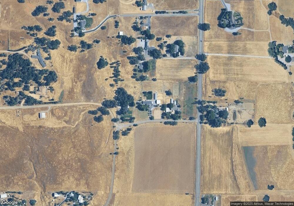
Map
Nearby Homes
- 7384 Del Rico Ct
- 21810 Los Altos Dr
- 0 Palo Cedro Dr Unit 25-2484
- 6594 Clear View Dr
- 8202 Maynard Rd
- 6673 Mountain View Dr
- 20577 Sunset Ln
- 20573 Sunset Ln
- 3008 Hazel Dr
- 3006 Joyce Dr
- 8400 Maynard Rd
- 0 Dersch Rd Unit 25-3964
- 8515 Silver Bridge Rd
- 3503 Gardenia St
- 0 Lot 2 Saddle Summit Ln Unit 26-388
- 8596 Silver Bridge Rd
- 0 Lot 3 Saddle Summit Ln Unit 26-389
- 0 Rd
- 0 Lot 16 Saddle Summit Ln Unit 26-409
- 2827 Stingy Ln
- 7014 Beatie
- 7008 Beatie Rd
- 7022 Beatie Rd
- 21942 Buena Oak Way
- 21980 Buena Oak Way
- 21941 Pradera Dr
- 7122 Deschutes Rd
- 21922 Pradera Dr
- 7077 Garth Dr
- 6904 Beatie Rd
- 6909 Deschutes Rd
- 21941 Sunnyside Dr
- 0 Sunnyside Dr
- 21900 Sunnyside Dr
- 21900 Sunnyside Dr
- 7101 Del Rico Ct
- 21900 Sunnyside Dr
- 6923 Scotview Ln
- 6811 Beatie Rd
- 6.06 ACRE Deschutes Rd
Your Personal Tour Guide
Ask me questions while you tour the home.