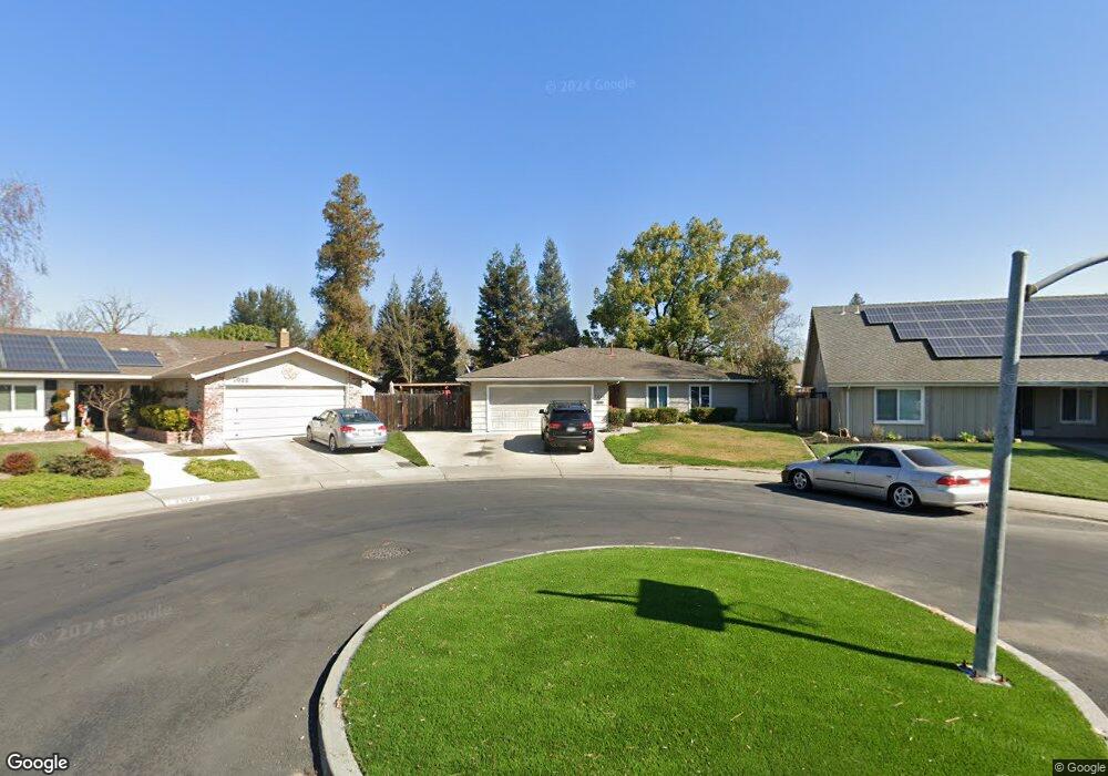
7016 Morton Ct Stockton, CA 95219
Lincoln Village West NeighborhoodEstimated Value: $485,832 - $534,000
3
Beds
2
Baths
1,561
Sq Ft
$324/Sq Ft
Est. Value
About This Home
This home is located at 7016 Morton Ct, Stockton, CA 95219 and is currently estimated at $505,208, approximately $323 per square foot. 7016 Morton Ct is a home located in San Joaquin County with nearby schools including Mable Barron, Sierra Middle School, and Lincoln High School.
Ownership History
Date
Name
Owned For
Owner Type
Purchase Details
Closed on
Jan 15, 2004
Sold by
Willmette Edward and Willmette Raquel P
Bought by
Willmette Edward and Willmette Raquel P
Current Estimated Value
Home Financials for this Owner
Home Financials are based on the most recent Mortgage that was taken out on this home.
Original Mortgage
$31,950
Interest Rate
5.86%
Mortgage Type
Credit Line Revolving
Purchase Details
Closed on
Sep 26, 2002
Sold by
Paper Jason L and Paper Joseph Ralph
Bought by
Willmette Edward and Wilmette Raquel P
Home Financials for this Owner
Home Financials are based on the most recent Mortgage that was taken out on this home.
Original Mortgage
$238,450
Outstanding Balance
$100,406
Interest Rate
6.22%
Estimated Equity
$404,802
Purchase Details
Closed on
Jan 24, 2002
Sold by
Paper Michael D and Paper Lynne R
Bought by
Paper Michael D and Paper Lynne R
Home Financials for this Owner
Home Financials are based on the most recent Mortgage that was taken out on this home.
Original Mortgage
$144,000
Interest Rate
7.11%
Purchase Details
Closed on
Jan 9, 2002
Sold by
Paper Melissa Ann
Bought by
Paper Joseph Ralph
Home Financials for this Owner
Home Financials are based on the most recent Mortgage that was taken out on this home.
Original Mortgage
$144,000
Interest Rate
7.11%
Purchase Details
Closed on
Oct 23, 2000
Sold by
Paper Melissa
Bought by
Paper Joseph R
Purchase Details
Closed on
Oct 10, 2000
Sold by
Adamson Anne Christina
Bought by
Shipp Troylus M
Purchase Details
Closed on
Mar 6, 2000
Sold by
Paper Michael D and Paper Lynne R
Bought by
Paper Jason L and Paper Michael D
Purchase Details
Closed on
Jul 11, 1996
Sold by
Paper Michael D and Paper Lynne R
Bought by
Paper Michael D and Paper Lynne R
Purchase Details
Closed on
Oct 26, 1995
Sold by
Delaney Sylvia L
Bought by
Paper Joseph Ralph and Paper Michael D
Home Financials for this Owner
Home Financials are based on the most recent Mortgage that was taken out on this home.
Original Mortgage
$118,456
Interest Rate
7.58%
Mortgage Type
FHA
Purchase Details
Closed on
Sep 28, 1994
Sold by
Delaney Sylvia L and Adler James M
Bought by
Delaney Sylvia L
Create a Home Valuation Report for This Property
The Home Valuation Report is an in-depth analysis detailing your home's value as well as a comparison with similar homes in the area
Home Values in the Area
Average Home Value in this Area
Purchase History
| Date | Buyer | Sale Price | Title Company |
|---|---|---|---|
| Willmette Edward | -- | Fidelity Natl Title Ins Co | |
| Willmette Edward | $251,000 | Old Republic Title Company | |
| Paper Michael D | -- | -- | |
| Paper Joseph Ralph | -- | First American Title Co | |
| Paper Michael D | -- | First American Title Co | |
| Paper Joseph R | -- | Old Republic Title Company | |
| Shipp Troylus M | -- | Old Republic Title Company | |
| Paper Jason L | -- | -- | |
| Paper Michael D | -- | -- | |
| Paper Joseph Ralph | $120,000 | Old Republic Title Company | |
| Delaney Sylvia L | $65,023 | -- |
Source: Public Records
Mortgage History
| Date | Status | Borrower | Loan Amount |
|---|---|---|---|
| Closed | Willmette Edward | $31,950 | |
| Open | Willmette Edward | $238,450 | |
| Previous Owner | Paper Michael D | $144,000 | |
| Previous Owner | Paper Joseph Ralph | $118,456 |
Source: Public Records
Tax History Compared to Growth
Tax History
| Year | Tax Paid | Tax Assessment Tax Assessment Total Assessment is a certain percentage of the fair market value that is determined by local assessors to be the total taxable value of land and additions on the property. | Land | Improvement |
|---|---|---|---|---|
| 2025 | $4,950 | $397,666 | $108,614 | $289,052 |
| 2024 | $4,842 | $389,870 | $106,485 | $283,385 |
| 2023 | $4,829 | $382,227 | $104,398 | $277,829 |
| 2022 | $4,510 | $374,733 | $102,351 | $272,382 |
| 2021 | $4,453 | $367,387 | $100,345 | $267,042 |
| 2020 | $4,452 | $363,621 | $99,317 | $264,304 |
| 2019 | $4,385 | $356,492 | $97,370 | $259,122 |
| 2018 | $4,310 | $349,503 | $95,461 | $254,042 |
| 2017 | $4,225 | $342,651 | $93,590 | $249,061 |
| 2016 | $3,728 | $296,000 | $81,000 | $215,000 |
| 2014 | $2,918 | $223,000 | $67,000 | $156,000 |
Source: Public Records
Map
Nearby Homes
- 3790 Hatchers Cir
- 3265 Shoreline Ct
- 6845 Shiloh Ct
- 7348 Lighthouse Dr
- 3256 Lakeshore Ct
- 6827 Shiloh Ct
- 0 Fort Donelson Dr Unit ML82024976
- 7303 Southfield Way
- 3533 Harpers Ferry Dr
- 3722 W Benjamin Holt Dr Unit 7
- 3722 W Benjamin Holt Dr Unit 16
- 7011 Shoreham Place
- 3708 N Merrimac Cir
- 4233 Five Mile Dr
- 3928 Waynesboro Ct Unit 41
- 7513 Richland Way
- 6724 Plymouth Rd Unit 44
- 6724 Plymouth Rd Unit 90
- 6724 Plymouth Rd Unit 54
- 7223 Westland Dr
- 7022 Morton Ct
- 7010 Morton Ct
- 3432 Stone River Cir
- 3426 Stone River Cir
- 3513 Five Mile Dr
- 3446 Stone River Cir
- 3510 Stone River Cir
- 3505 Five Mile Dr
- 7021 Morton Ct
- 3518 Stone River Cir
- 7015 Morton Ct
- 7009 Morton Ct
- 3454 Stone River Cir
- 3602 Stone River Cir
- 3607 Five Mile Dr
- 3608 Stone River Cir
- 3439 Stone River Cir
- 3431 Stone River Cir
- 3423 Stone River Cir
- 3447 Stone River Cir