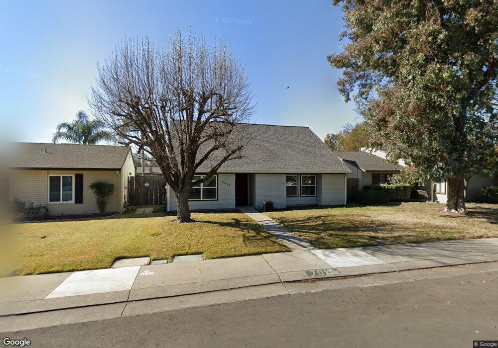
7017 Shiloh Place Unit 23 Stockton, CA 95219
Lincoln Village West NeighborhoodEstimated Value: $414,000 - $587,000
3
Beds
3
Baths
2,072
Sq Ft
$241/Sq Ft
Est. Value
About This Home
This home is located at 7017 Shiloh Place Unit 23, Stockton, CA 95219 and is currently estimated at $500,337, approximately $241 per square foot. 7017 Shiloh Place Unit 23 is a home located in San Joaquin County with nearby schools including Mable Barron, Sierra Middle School, and Lincoln High School.
Ownership History
Date
Name
Owned For
Owner Type
Purchase Details
Closed on
Jan 11, 2022
Sold by
Fornos Louise C
Bought by
Louise C Fornos Revocable Trust
Current Estimated Value
Purchase Details
Closed on
Feb 3, 2000
Sold by
Neeley Bryan J and Neeley Sonja M
Bought by
Fornos Anthony F
Home Financials for this Owner
Home Financials are based on the most recent Mortgage that was taken out on this home.
Original Mortgage
$103,000
Interest Rate
8.06%
Create a Home Valuation Report for This Property
The Home Valuation Report is an in-depth analysis detailing your home's value as well as a comparison with similar homes in the area
Home Values in the Area
Average Home Value in this Area
Purchase History
| Date | Buyer | Sale Price | Title Company |
|---|---|---|---|
| Louise C Fornos Revocable Trust | -- | Downey Brand Llp | |
| Fornos Anthony F | $137,000 | Alliance Title Company |
Source: Public Records
Mortgage History
| Date | Status | Borrower | Loan Amount |
|---|---|---|---|
| Previous Owner | Fornos Anthony F | $103,000 |
Source: Public Records
Tax History Compared to Growth
Tax History
| Year | Tax Paid | Tax Assessment Tax Assessment Total Assessment is a certain percentage of the fair market value that is determined by local assessors to be the total taxable value of land and additions on the property. | Land | Improvement |
|---|---|---|---|---|
| 2025 | $2,820 | $210,549 | $53,786 | $156,763 |
| 2024 | $2,719 | $206,422 | $52,732 | $153,690 |
| 2023 | $2,715 | $202,376 | $51,699 | $150,677 |
| 2022 | $2,463 | $198,409 | $50,686 | $147,723 |
| 2021 | $2,432 | $194,520 | $49,693 | $144,827 |
| 2020 | $2,431 | $192,526 | $49,184 | $143,342 |
| 2019 | $2,395 | $188,752 | $48,220 | $140,532 |
| 2018 | $3,353 | $185,052 | $47,275 | $137,777 |
| 2017 | $2,306 | $181,425 | $46,349 | $135,076 |
| 2016 | $2,283 | $177,869 | $45,441 | $132,428 |
| 2014 | $2,232 | $171,766 | $43,882 | $127,884 |
Source: Public Records
Map
Nearby Homes
- 3265 Shoreline Ct
- 3256 Lakeshore Ct
- 6845 Shiloh Ct
- 6827 Shiloh Ct
- 7348 Lighthouse Dr
- 3790 Hatchers Cir
- 7303 Southfield Way
- 7011 Shoreham Place
- 0 Fort Donelson Dr Unit ML82024976
- 3533 Harpers Ferry Dr
- 7513 Richland Way
- 7223 Westland Dr
- 3722 W Benjamin Holt Dr Unit 7
- 3722 W Benjamin Holt Dr Unit 16
- 3708 N Merrimac Cir
- 6724 Plymouth Rd Unit 44
- 6724 Plymouth Rd Unit 90
- 6724 Plymouth Rd Unit 54
- 2737 Birch Ave
- 7626 Richland Way
- 7013 Shiloh Place
- 7021 Shiloh Place
- 7009 Shiloh Place
- 7025 Shiloh Place Unit 23
- 3439 Stone River Cir
- 3447 Stone River Cir
- 3431 Stone River Cir
- 3405 Five Mile Dr
- 7029 Shiloh Place
- 3415 Five Mile Dr
- 3455 Stone River Cir
- 7014 Shiloh Place
- 7018 Shiloh Place
- 7033 Shiloh Place
- 3423 Stone River Cir
- 7022 Shiloh Place Unit 23
- 3463 Stone River Cir
- 7006 Shiloh Place
- 7026 Shiloh Place
- 7071 Shiloh Place