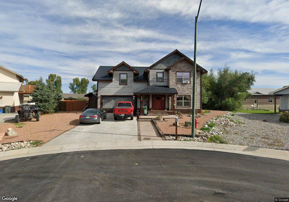
702 Andrew Ln Gunnison, CO 81230
Estimated Value: $878,642 - $1,152,000
3
Beds
3
Baths
2,828
Sq Ft
$340/Sq Ft
Est. Value
About This Home
This home is located at 702 Andrew Ln, Gunnison, CO 81230 and is currently estimated at $962,411, approximately $340 per square foot. 702 Andrew Ln is a home located in Gunnison County with nearby schools including Gunnison Elementary School, Gunnison Middle School, and Crested Butte Community School.
Ownership History
Date
Name
Owned For
Owner Type
Purchase Details
Closed on
Jun 10, 2016
Sold by
Brown Eli N and Brown Brittanie L
Bought by
Loken Eric
Current Estimated Value
Home Financials for this Owner
Home Financials are based on the most recent Mortgage that was taken out on this home.
Original Mortgage
$316,000
Outstanding Balance
$252,236
Interest Rate
3.66%
Mortgage Type
Commercial
Estimated Equity
$710,175
Purchase Details
Closed on
Oct 25, 2011
Sold by
Daniel Jeffrey and Carson Candace Donka
Bought by
Brown Ell N and Brown Brittanie L
Home Financials for this Owner
Home Financials are based on the most recent Mortgage that was taken out on this home.
Original Mortgage
$160,000
Interest Rate
4.08%
Mortgage Type
New Conventional
Purchase Details
Closed on
Feb 25, 2010
Sold by
Gunnison Investments Llc
Bought by
Carson Jeffrey Daniel and Carson Candace Donka
Create a Home Valuation Report for This Property
The Home Valuation Report is an in-depth analysis detailing your home's value as well as a comparison with similar homes in the area
Home Values in the Area
Average Home Value in this Area
Purchase History
| Date | Buyer | Sale Price | Title Company |
|---|---|---|---|
| Loken Eric | $395,000 | None Available | |
| Brown Ell N | $200,000 | None Available | |
| Carson Jeffrey Daniel | $37,100 | None Available |
Source: Public Records
Mortgage History
| Date | Status | Borrower | Loan Amount |
|---|---|---|---|
| Open | Loken Eric | $316,000 | |
| Previous Owner | Brown Ell N | $160,000 |
Source: Public Records
Tax History Compared to Growth
Tax History
| Year | Tax Paid | Tax Assessment Tax Assessment Total Assessment is a certain percentage of the fair market value that is determined by local assessors to be the total taxable value of land and additions on the property. | Land | Improvement |
|---|---|---|---|---|
| 2024 | $2,260 | $46,570 | $9,670 | $36,900 |
| 2023 | $2,227 | $42,880 | $8,900 | $33,980 |
| 2022 | $2,385 | $40,030 | $4,870 | $35,160 |
| 2021 | $2,149 | $41,190 | $5,010 | $36,180 |
| 2020 | $1,889 | $34,140 | $4,080 | $30,060 |
| 2019 | $1,846 | $34,140 | $4,080 | $30,060 |
| 2018 | $1,554 | $27,930 | $2,660 | $25,270 |
| 2017 | $1,573 | $27,930 | $2,660 | $25,270 |
| 2016 | $1,667 | $29,730 | $2,790 | $26,940 |
| 2015 | $754 | $29,730 | $2,790 | $26,940 |
| 2014 | $754 | $26,600 | $2,650 | $23,950 |
Source: Public Records
Map
Nearby Homes
- 700 U S 50
- 706 Andrew Ln
- Lots 13-16 Us Highway 50 Frontage Rd
- 314 S 5th St
- TBD S 6th St
- 302 S 5th St
- 301 S 2nd St Unit 68
- 215 S 7th St
- 1412 W Gunnison Ave
- 288 S 5th St
- 300 Bevington Rd
- 1511 W Tomichi Ave
- 107 Wildrose Ln
- 1208 W Tomichi Ave Unit 4
- 417 S Boulevard St Unit B
- 109 N 7th St
- 1709 W Tomichi Ave
- 1314 W Tomichi Ave Unit 9
- 114 N 8th St
- 137 Park Dr
- 700 Andrew Ln
- 704 & 706 Andrew Ln
- 704 Andrew Ln
- 601 Carbon Ct
- 701 Andrew Ln
- 1560 Thornton Way
- 701 Andrew Ln
- 600 Carbon Ct
- 1255 W Bidwell Ave
- 703 Andrew Ln
- 703 Andrew Ln Unit (West Side by Old Dr
- 602 Carbon Ct
- 708 Andrew Ln
- 705 Andrew Ln
- 605 Carbon Ct
- 604 Carbon Ct
- 707 Andrew Ln
- 0 Carbon Ct Unit 767527
- 0 Thornton Way Unit 1026775
- 0 Thornton Way Unit 4053