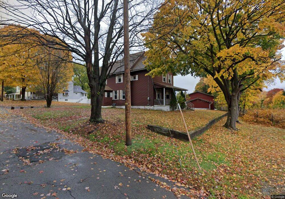
702 Boundary St Scranton, PA 18519
Providence NeighborhoodEstimated Value: $186,000 - $326,000
4
Beds
2
Baths
1,561
Sq Ft
$149/Sq Ft
Est. Value
About This Home
This home is located at 702 Boundary St, Scranton, PA 18519 and is currently estimated at $232,184, approximately $148 per square foot. 702 Boundary St is a home located in Lackawanna County with nearby schools including Neil Armstrong Elementary School, Pinchbeck Elementary School, and Pemberton Elementary School.
Ownership History
Date
Name
Owned For
Owner Type
Purchase Details
Closed on
Dec 16, 2015
Sold by
Rollar Richard James and Rollar Patricia Anne
Bought by
Wilson Harold O and Wilson Deborah A
Current Estimated Value
Purchase Details
Closed on
Jul 31, 2006
Sold by
Kortawy Alan
Bought by
Dixon Robert M and Rollar Richard James
Home Financials for this Owner
Home Financials are based on the most recent Mortgage that was taken out on this home.
Original Mortgage
$68,000
Interest Rate
6.88%
Mortgage Type
New Conventional
Create a Home Valuation Report for This Property
The Home Valuation Report is an in-depth analysis detailing your home's value as well as a comparison with similar homes in the area
Home Values in the Area
Average Home Value in this Area
Purchase History
| Date | Buyer | Sale Price | Title Company |
|---|---|---|---|
| Wilson Harold O | $75,000 | None Available | |
| Dixon Robert M | $92,000 | None Available |
Source: Public Records
Mortgage History
| Date | Status | Borrower | Loan Amount |
|---|---|---|---|
| Previous Owner | Dixon Robert M | $68,000 |
Source: Public Records
Tax History Compared to Growth
Tax History
| Year | Tax Paid | Tax Assessment Tax Assessment Total Assessment is a certain percentage of the fair market value that is determined by local assessors to be the total taxable value of land and additions on the property. | Land | Improvement |
|---|---|---|---|---|
| 2025 | $2,230 | $7,000 | $1,000 | $6,000 |
| 2024 | $2,036 | $7,000 | $1,000 | $6,000 |
| 2023 | $2,036 | $7,000 | $1,000 | $6,000 |
| 2022 | $1,991 | $7,000 | $1,000 | $6,000 |
| 2021 | $1,991 | $7,000 | $1,000 | $6,000 |
| 2020 | $1,954 | $7,000 | $1,000 | $6,000 |
| 2019 | $1,837 | $7,000 | $1,000 | $6,000 |
| 2018 | $1,837 | $7,000 | $1,000 | $6,000 |
| 2017 | $1,804 | $7,000 | $1,000 | $6,000 |
| 2016 | $536 | $7,000 | $1,000 | $6,000 |
| 2015 | $1,022 | $7,000 | $1,000 | $6,000 |
| 2014 | -- | $7,000 | $1,000 | $6,000 |
Source: Public Records
Map
Nearby Homes
- 231 Gaston Place
- 0 Greenbush St Unit GSBSC256200
- 2724 N Main Ave
- 430 Morgan St
- 2706 N Main Ave
- 271 Poplar St
- 2515 N Main Ave
- 121 Throop St
- 525 Dewey St
- 193 W Parker St
- 456 River St Unit L 16
- 831 Raines St
- 2326 Durkin Ave Unit L 4
- 507-509 Hallstead St
- 441 Pancoast St
- 655-657 Boulevard Ave
- 2136 N Main Ave
- 2113 Golden Ave
- 2105 Belmont Terrace
- 119 Spring St