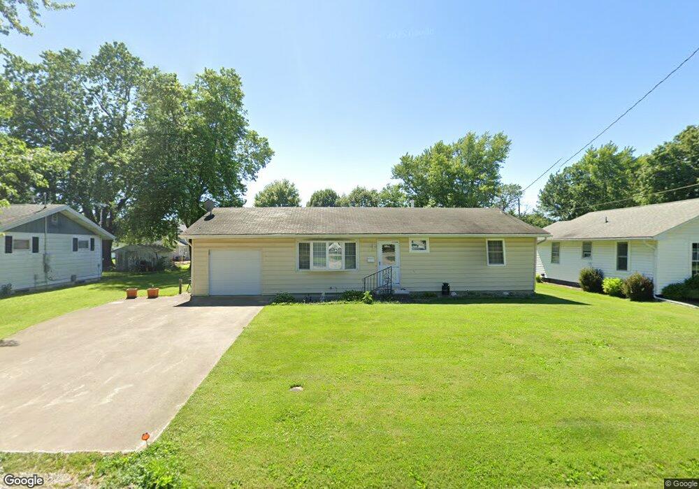
702 Capps Ave Nokomis, IL 62075
Estimated Value: $79,000 - $94,000
3
Beds
1
Bath
1,040
Sq Ft
$87/Sq Ft
Est. Value
About This Home
This home is located at 702 Capps Ave, Nokomis, IL 62075 and is currently estimated at $89,993, approximately $86 per square foot. 702 Capps Ave is a home located in Montgomery County with nearby schools including North Elementary School, Nokomis Junior/Senior High School, and St. Louis Catholic School.
Ownership History
Date
Name
Owned For
Owner Type
Purchase Details
Closed on
Jun 8, 2017
Sold by
Clark Irene M
Bought by
Northcraft William H
Current Estimated Value
Purchase Details
Closed on
Mar 29, 2012
Sold by
Mckittrick Michael R
Bought by
Clark William F and Clark Irene M
Home Financials for this Owner
Home Financials are based on the most recent Mortgage that was taken out on this home.
Original Mortgage
$50,430
Interest Rate
3.95%
Mortgage Type
New Conventional
Purchase Details
Closed on
Mar 16, 2006
Sold by
Schweizer Lina M and Edgecombe Ricky K
Bought by
Mckittrick Michael R
Home Financials for this Owner
Home Financials are based on the most recent Mortgage that was taken out on this home.
Original Mortgage
$20,394
Interest Rate
6.37%
Mortgage Type
Future Advance Clause Open End Mortgage
Create a Home Valuation Report for This Property
The Home Valuation Report is an in-depth analysis detailing your home's value as well as a comparison with similar homes in the area
Purchase History
| Date | Buyer | Sale Price | Title Company |
|---|---|---|---|
| Northcraft William H | $50,000 | -- | |
| Clark William F | $49,500 | None Available | |
| Mckittrick Michael R | $48,000 | None Available |
Source: Public Records
Mortgage History
| Date | Status | Borrower | Loan Amount |
|---|---|---|---|
| Previous Owner | Clark William F | $50,430 | |
| Previous Owner | Mckittrick Michael R | $20,394 |
Source: Public Records
Tax History Compared to Growth
Tax History
| Year | Tax Paid | Tax Assessment Tax Assessment Total Assessment is a certain percentage of the fair market value that is determined by local assessors to be the total taxable value of land and additions on the property. | Land | Improvement |
|---|---|---|---|---|
| 2024 | $706 | $21,420 | $2,790 | $18,630 |
| 2023 | $713 | $20,090 | $2,620 | $17,470 |
| 2022 | $729 | $19,310 | $2,520 | $16,790 |
| 2021 | $718 | $20,180 | $2,640 | $17,540 |
| 2020 | $723 | $19,240 | $2,510 | $16,730 |
| 2019 | $718 | $20,320 | $2,650 | $17,670 |
| 2018 | $1,198 | $19,120 | $2,490 | $16,630 |
| 2017 | $569 | $17,970 | $2,340 | $15,630 |
| 2016 | $578 | $17,480 | $2,280 | $15,200 |
| 2015 | $623 | $16,930 | $2,210 | $14,720 |
| 2013 | $560 | $17,150 | $2,240 | $14,910 |
Source: Public Records
Map
Nearby Homes
- 101 W South St
- 115 W South St
- 900 E Union St
- 111 S Elm St
- 112 N Spruce St
- 304 N Spruce St
- 311 N Elm St
- 405 Griffin St
- 318 N Cedar St
- 602 Herman St
- 416 Griffin St
- 405 N Vine St
- 507 N Spruce St
- 506 E Bertolino Ave
- 245 S 7th St
- 125 W Lincoln Ave
- 185 Montgomery St
- Three Miles South of Nokomis
- 402 E Allen Ave
- 210 E Raymon Ave