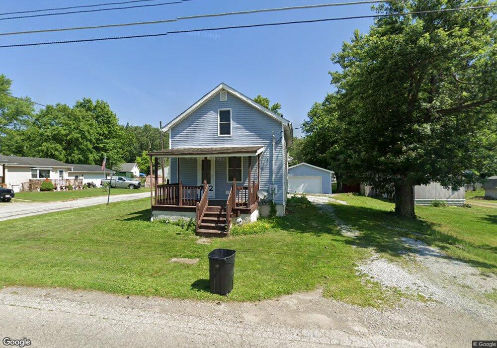
702 E 7th St Ashland, OH 44805
Estimated Value: $84,370 - $135,000
Studio
--
Bath
--
Sq Ft
4,269
Sq Ft Lot
About This Home
This home is located at 702 E 7th St, Ashland, OH 44805 and is currently estimated at $98,343. 702 E 7th St is a home located in Ashland County with nearby schools including Ashland High School, Ashland County Community Academy, and St. Edward Elementary School.
Ownership History
Date
Name
Owned For
Owner Type
Purchase Details
Closed on
Feb 24, 2016
Sold by
Devaughn Bill E
Bought by
Zadra Jonathan W and Worley Debby J
Current Estimated Value
Home Financials for this Owner
Home Financials are based on the most recent Mortgage that was taken out on this home.
Original Mortgage
$58,500
Outstanding Balance
$45,425
Interest Rate
3.5%
Mortgage Type
New Conventional
Estimated Equity
$52,918
Purchase Details
Closed on
Apr 20, 2007
Sold by
Tucker Gary D
Bought by
Devaughn Bill E
Purchase Details
Closed on
Dec 10, 1992
Bought by
Tucker Gary D
Create a Home Valuation Report for This Property
The Home Valuation Report is an in-depth analysis detailing your home's value as well as a comparison with similar homes in the area
Home Values in the Area
Average Home Value in this Area
Purchase History
| Date | Buyer | Sale Price | Title Company |
|---|---|---|---|
| Zadra Jonathan W | $79,500 | Barrister Ashland Title | |
| Devaughn Bill E | $35,000 | -- | |
| Tucker Gary D | $9,000 | -- |
Source: Public Records
Mortgage History
| Date | Status | Borrower | Loan Amount |
|---|---|---|---|
| Open | Zadra Jonathan W | $58,500 |
Source: Public Records
Tax History
| Year | Tax Paid | Tax Assessment Tax Assessment Total Assessment is a certain percentage of the fair market value that is determined by local assessors to be the total taxable value of land and additions on the property. | Land | Improvement |
|---|---|---|---|---|
| 2025 | $221 | $6,180 | $2,790 | $3,390 |
| 2024 | $221 | $6,180 | $2,790 | $3,390 |
| 2023 | $221 | $6,180 | $2,790 | $3,390 |
| 2022 | $257 | $5,620 | $2,540 | $3,080 |
| 2021 | $258 | $5,620 | $2,540 | $3,080 |
| 2020 | $245 | $5,620 | $2,540 | $3,080 |
| 2019 | $266 | $5,660 | $2,250 | $3,410 |
| 2018 | $268 | $5,660 | $2,250 | $3,410 |
| 2017 | $257 | $5,660 | $2,250 | $3,410 |
| 2016 | $257 | $5,290 | $2,100 | $3,190 |
| 2015 | $255 | $5,290 | $2,100 | $3,190 |
| 2013 | $274 | $5,620 | $2,060 | $3,560 |
Source: Public Records
Map
Nearby Homes
- 726 E 7th St
- 945 Virginia Ave
- 410 E 9th St
- 1319 Cleveland Ave
- 917 Union St
- 426 Diamond St
- 102 E Liberty St
- 1520 Orange Rd Unit 22
- 1520 Orange Rd
- 1471 Troy Rd
- 219 W Washington St
- 126 Harold Dr
- 416-418 Carroll St
- 67 Harold Dr
- 64 Harold Dr
- 1210 Cottage St
- 1109 Eastern Ave
- 1499 Troy Rd
- 150 College Ave
- 3 Terrace Dr
Your Personal Tour Guide
Ask me questions while you tour the home.