Estimated Value: $277,000 - $323,000
2
Beds
1
Bath
806
Sq Ft
$364/Sq Ft
Est. Value
About This Home
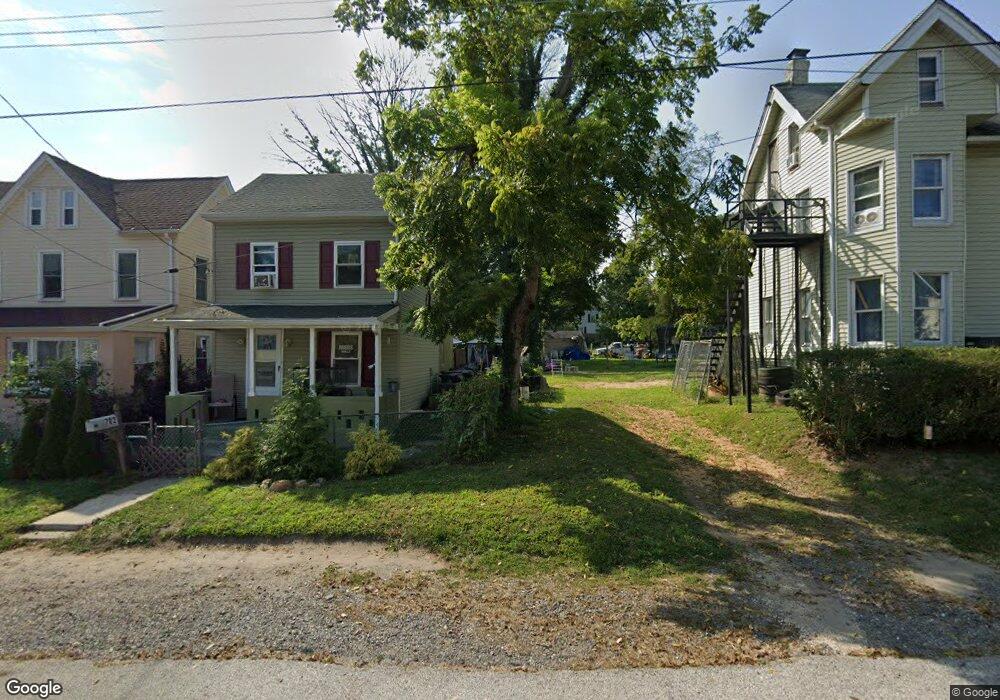
This home is located at 702 Forrest Ave, Media, PA 19063 and is currently estimated at $293,233, approximately $363 per square foot. 702 Forrest Ave is a home located in Delaware County with nearby schools including Wallingford Elementary School, Strath Haven Middle School, and Strath Haven High School.
Ownership History
Date
Name
Owned For
Owner Type
Purchase Details
Closed on
Nov 1, 2013
Sold by
Pennsylvania Trust Company
Bought by
Kallinen Lisa Ann
Current Estimated Value
Purchase Details
Closed on
Jun 25, 2003
Sold by
Wells Fargo Bank Minnesota Na
Bought by
Kallinan Sophia
Purchase Details
Closed on
Apr 1, 2003
Sold by
Gerst Edward L
Bought by
Wells Fargo Bank Minnesota Na
Purchase Details
Closed on
Sep 18, 1998
Sold by
Gerst Edward L and Gerst Bessie
Bought by
Gerst Edward L
Create a Home Valuation Report for This Property
The Home Valuation Report is an in-depth analysis detailing your home's value as well as a comparison with similar homes in the area
Home Values in the Area
Average Home Value in this Area
Purchase History
| Date | Buyer | Sale Price | Title Company |
|---|---|---|---|
| Kallinen Lisa Ann | -- | None Available | |
| Kallinan Sophia | $51,900 | -- | |
| Wells Fargo Bank Minnesota Na | -- | -- | |
| Gerst Edward L | -- | -- |
Source: Public Records
Tax History Compared to Growth
Tax History
| Year | Tax Paid | Tax Assessment Tax Assessment Total Assessment is a certain percentage of the fair market value that is determined by local assessors to be the total taxable value of land and additions on the property. | Land | Improvement |
|---|---|---|---|---|
| 2025 | $5,630 | $157,920 | $55,800 | $102,120 |
| 2024 | $5,630 | $157,920 | $55,800 | $102,120 |
| 2023 | $5,410 | $157,920 | $55,800 | $102,120 |
| 2022 | $5,295 | $157,920 | $55,800 | $102,120 |
| 2021 | $8,602 | $157,920 | $55,800 | $102,120 |
| 2020 | $4,673 | $80,630 | $32,100 | $48,530 |
| 2019 | $4,544 | $80,630 | $32,100 | $48,530 |
| 2018 | $4,455 | $80,630 | $0 | $0 |
| 2017 | $4,333 | $80,630 | $0 | $0 |
| 2016 | $442 | $80,630 | $0 | $0 |
| 2015 | $452 | $80,630 | $0 | $0 |
| 2014 | $452 | $80,630 | $0 | $0 |
Source: Public Records
Map
Nearby Homes
- 307 Moylan Ave
- 412 E Jefferson St
- 410 E Jefferson St
- 316 Vernon St
- 441 E Jefferson St
- 501 E Jefferson St
- 453 E Franklin St Unit TWIN
- 453 E Franklin St
- 453 E Franklin St Unit TWIN B
- 453 E Franklin St Unit SINGLE
- 408 S Olive St Unit 6
- 605 S Orange St
- Caspian Plan at Orange Street Walk
- Orange Street Caspian 5 Plan at Orange Street Walk
- 5 Buttonwood Way
- 300 S Olive St Unit 2B
- 316 E Front St
- 5 Manchester Ave
- 4 W Possum Hollow Rd
- 117 W Possum Hollow Rd
- 704 Forrest Ave
- 424 Wallingford Ave
- 706 Forrest Ave
- 710 Forrest Ave
- 708 Forrest Ave
- 707 Washington Ave
- 709 Washington Ave
- 712 Forrest Ave
- 620 Vernon St
- 500 Wallingford Ave
- 206 Ronaldson St
- 711 Washington Ave
- 402 Wallingford Ave
- 705 Forrest Ave
- 612 Vernon St
- 204 Ronaldson St
- 707 Forrest Ave
- 707 Forrest Ave Unit A
- 400 Wallingford Ave
- 510 Wallingford Ave