702 Hill Rd Boxborough, MA 01719
Estimated Value: $651,000 - $804,000
3
Beds
3
Baths
1,804
Sq Ft
$398/Sq Ft
Est. Value
About This Home
This home is located at 702 Hill Rd, Boxborough, MA 01719 and is currently estimated at $717,644, approximately $397 per square foot. 702 Hill Rd is a home located in Middlesex County with nearby schools including Acton-Boxborough Regional High School.
Create a Home Valuation Report for This Property
The Home Valuation Report is an in-depth analysis detailing your home's value as well as a comparison with similar homes in the area
Home Values in the Area
Average Home Value in this Area
Tax History Compared to Growth
Tax History
| Year | Tax Paid | Tax Assessment Tax Assessment Total Assessment is a certain percentage of the fair market value that is determined by local assessors to be the total taxable value of land and additions on the property. | Land | Improvement |
|---|---|---|---|---|
| 2025 | $8,385 | $553,800 | $295,300 | $258,500 |
| 2024 | $8,000 | $533,700 | $283,800 | $249,900 |
| 2023 | $7,315 | $471,300 | $244,800 | $226,500 |
| 2022 | $7,700 | $442,000 | $244,800 | $197,200 |
| 2020 | $6,817 | $407,700 | $244,800 | $162,900 |
| 2019 | $3,382 | $407,700 | $244,800 | $162,900 |
| 2018 | $6,310 | $383,800 | $233,400 | $150,400 |
| 2017 | $6,494 | $386,300 | $233,400 | $152,900 |
| 2016 | $6,156 | $376,300 | $233,400 | $142,900 |
| 2015 | $5,819 | $349,500 | $200,800 | $148,700 |
| 2014 | $5,887 | $332,800 | $194,900 | $137,900 |
Source: Public Records
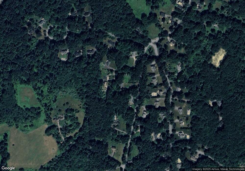
Map
Nearby Homes
- 139 Picnic St
- 58 Spencer Rd Unit 18K
- 50 Spencer Rd Unit 36
- 42 Swanson Ct Unit 14A
- 53 Swanson Ct Unit 36C
- 63 Leonard Rd Unit 63
- 777 Depot Rd
- 220 Swanson Rd Unit 605
- 220 Swanson Rd Unit 606
- 220 Swanson Rd Unit 604
- 176 Swanson Rd Unit 309
- 62 Waite Rd
- 1155 Burroughs Rd
- Lot 2 Strawberry Farm
- 310 Codman Hill Rd Unit 35D
- 150 Whitcomb Ave
- 96 Cedarwood Rd
- 332 Old Littleton Rd
- 134 Russet Ln
- 68 Macintosh Ln