Estimated Value: $98,000 - $220,172
3
Beds
1
Bath
1,498
Sq Ft
$110/Sq Ft
Est. Value
About This Home
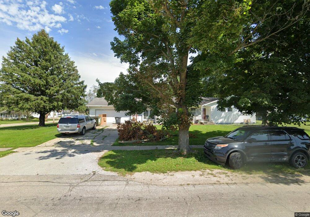
This home is located at 702 Main St, Union, IA 50258 and is currently estimated at $164,043, approximately $109 per square foot. 702 Main St is a home located in Hardin County with nearby schools including BCLUW Elementary School, BCLUW Middle School, and BCLUW High School.
Create a Home Valuation Report for This Property
The Home Valuation Report is an in-depth analysis detailing your home's value as well as a comparison with similar homes in the area
Tax History
| Year | Tax Paid | Tax Assessment Tax Assessment Total Assessment is a certain percentage of the fair market value that is determined by local assessors to be the total taxable value of land and additions on the property. | Land | Improvement |
|---|---|---|---|---|
| 2025 | $2,140 | $200,990 | $4,750 | $196,240 |
| 2024 | $2,140 | $151,550 | $4,750 | $146,800 |
| 2023 | $2,306 | $151,550 | $4,750 | $146,800 |
| 2022 | $2,184 | $149,100 | $4,750 | $144,350 |
| 2021 | $2,184 | $149,100 | $4,750 | $144,350 |
| 2020 | $1,980 | $132,030 | $5,750 | $126,280 |
| 2019 | $1,804 | $132,030 | $0 | $0 |
| 2018 | $1,804 | $120,030 | $0 | $0 |
| 2017 | $1,776 | $109,110 | $0 | $0 |
| 2016 | $1,778 | $109,110 | $0 | $0 |
| 2015 | $1,830 | $109,110 | $0 | $0 |
| 2014 | $1,826 | $109,110 | $0 | $0 |
Source: Public Records
Map
Nearby Homes