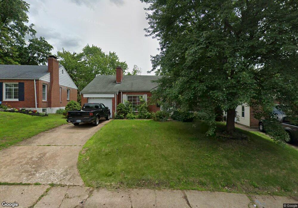
702 Moundale Dr Saint Louis, MO 63135
Estimated Value: $170,000 - $189,000
3
Beds
2
Baths
1,672
Sq Ft
$105/Sq Ft
Est. Value
About This Home
This home is located at 702 Moundale Dr, Saint Louis, MO 63135 and is currently estimated at $175,883, approximately $105 per square foot. 702 Moundale Dr is a home located in St. Louis County with nearby schools including Lee Hamilton Elementary School, Ferguson Middle School, and McCluer High School.
Ownership History
Date
Name
Owned For
Owner Type
Purchase Details
Closed on
Nov 18, 2010
Sold by
The Stanley A Frederiksen Trust
Bought by
Cornejo Deborah K
Current Estimated Value
Home Financials for this Owner
Home Financials are based on the most recent Mortgage that was taken out on this home.
Original Mortgage
$43,200
Outstanding Balance
$28,503
Interest Rate
4.27%
Mortgage Type
New Conventional
Estimated Equity
$147,380
Purchase Details
Closed on
Aug 4, 2010
Sold by
Frederiksen Stanley Albig
Bought by
Stanley A Frederiksen Trust
Create a Home Valuation Report for This Property
The Home Valuation Report is an in-depth analysis detailing your home's value as well as a comparison with similar homes in the area
Home Values in the Area
Average Home Value in this Area
Purchase History
| Date | Buyer | Sale Price | Title Company |
|---|---|---|---|
| Cornejo Deborah K | $54,000 | None Available | |
| Stanley A Frederiksen Trust | -- | None Available |
Source: Public Records
Mortgage History
| Date | Status | Borrower | Loan Amount |
|---|---|---|---|
| Open | Cornejo Deborah K | $43,200 |
Source: Public Records
Tax History Compared to Growth
Tax History
| Year | Tax Paid | Tax Assessment Tax Assessment Total Assessment is a certain percentage of the fair market value that is determined by local assessors to be the total taxable value of land and additions on the property. | Land | Improvement |
|---|---|---|---|---|
| 2025 | $2,242 | $33,560 | $3,500 | $30,060 |
| 2024 | $2,242 | $31,060 | $3,150 | $27,910 |
| 2023 | $2,229 | $31,060 | $3,150 | $27,910 |
| 2022 | $1,660 | $20,070 | $4,030 | $16,040 |
| 2021 | $1,606 | $20,070 | $4,030 | $16,040 |
| 2020 | $1,660 | $18,660 | $2,910 | $15,750 |
| 2019 | $1,629 | $18,660 | $2,910 | $15,750 |
| 2018 | $1,572 | $16,060 | $2,570 | $13,490 |
| 2017 | $1,541 | $16,060 | $2,570 | $13,490 |
| 2016 | $1,685 | $17,300 | $2,570 | $14,730 |
| 2015 | $1,696 | $17,300 | $2,570 | $14,730 |
| 2014 | $1,590 | $16,020 | $2,680 | $13,340 |
Source: Public Records
Map
Nearby Homes
- 716 Nancy Place
- 429 N Clay Ave
- 206 Thoroughman Ave
- 127 Thoroughman Ave
- 405 Teston Dr
- 406 Teston Dr
- 601 Chanslor Ave
- 6 Sandringham Ln
- 111 Royal Ave
- 418 Millman Dr
- 941 N Elizabeth Ave
- 610 Superior Dr
- 539 Coppinger Dr
- 324 Ames Place
- 847 N Florissant Rd
- 310 Ames Place
- 15 Lake Pembroke Dr
- 315 Coppinger Dr
- 439 Warford Ave
- 818 Robert Ave
- 706 Moundale Dr
- 218 Moundale Dr
- 214 Moundale Dr
- 710 Moundale Dr
- 701 Gerald Place
- 227 Robert Ave
- 223 Robert Ave
- 235 Robert Ave
- 701 Moundale Dr
- 707 Gerald Place
- 213 Moundale Dr
- 210 Moundale Dr
- 714 Moundale Dr
- 705 Moundale Dr
- 713 Gerald Place
- 219 Robert Ave
- 209 Moundale Dr
- 709 Moundale Dr
- 206 Moundale Dr
- 717 Gerald Place