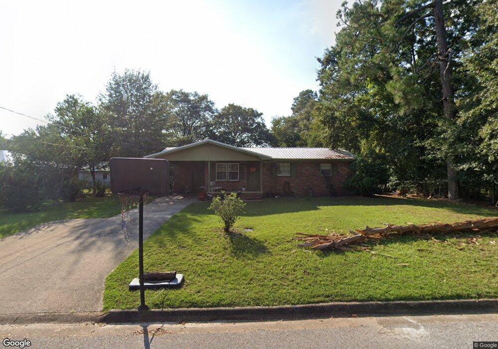
702 Mullins St Dothan, AL 36301
Estimated Value: $132,809 - $164,000
Studio
2
Baths
1,557
Sq Ft
$98/Sq Ft
Est. Value
About This Home
This home is located at 702 Mullins St, Dothan, AL 36301 and is currently estimated at $152,202, approximately $97 per square foot. 702 Mullins St is a home located in Houston County with nearby schools including Dothan City Early Education Center, Selma Street Elementary School, and Dothan Preparatory Academy.
Ownership History
Date
Name
Owned For
Owner Type
Purchase Details
Closed on
Mar 30, 2023
Sold by
Andrews Mark and Andrews Wendy
Bought by
S Mark Andrews Fam Invs Llc
Current Estimated Value
Purchase Details
Closed on
Jan 11, 2018
Sold by
Longshore Wl
Bought by
Regions Bank
Purchase Details
Closed on
Oct 31, 2017
Sold by
Fowler Becky and Fowler Becky
Bought by
Regions Bank
Purchase Details
Closed on
Apr 26, 2012
Sold by
Spann Gloria J Bell
Bought by
Weisbeck Betsy
Create a Home Valuation Report for This Property
The Home Valuation Report is an in-depth analysis detailing your home's value as well as a comparison with similar homes in the area
Purchase History
We collect this data history from publicly available records. To have your information removed, we recommend requesting removal directly through your county’s website.
| Date | Buyer | Sale Price | Title Company |
|---|---|---|---|
| S Mark Andrews Fam Invs Llc | $279,900 | Attorney Only | |
| Regions Bank | $44,001 | None Available | |
| Regions Bank | -- | -- | |
| Weisbeck Betsy | -- | -- |
Source: Public Records
Tax History
| Year | Tax Paid | Tax Assessment Tax Assessment Total Assessment is a certain percentage of the fair market value that is determined by local assessors to be the total taxable value of land and additions on the property. | Land | Improvement |
|---|---|---|---|---|
| 2025 | $896 | $24,880 | $0 | $0 |
| 2024 | $896 | $23,260 | $0 | $0 |
| 2023 | $837 | $22,540 | $0 | $0 |
| 2022 | $671 | $19,460 | $0 | $0 |
| 2021 | $582 | $20,120 | $0 | $0 |
| 2020 | $582 | $16,880 | $0 | $0 |
| 2019 | $582 | $16,880 | $0 | $0 |
| 2018 | $902 | $16,400 | $0 | $0 |
| 2017 | $242 | $8,520 | $0 | $0 |
| 2016 | $242 | $0 | $0 | $0 |
| 2015 | $242 | $0 | $0 | $0 |
| 2014 | $242 | $0 | $0 | $0 |
Source: Public Records
Map
Nearby Homes
- 602 Owens St
- 400 Pinecrest Dr
- 200 Pinecrest Dr
- 411 Madison Ave
- 402 Hill St
- 00 Ross Clark Cir
- 00000 Ross Clark Cir
- 1833 S Saint Andrews St
- 300 Reid Dr
- 108 Salem Ct
- 211 Massee Dr
- 137 Highland St
- 125 Sandpiper Ln
- 2310 Aberdeen Rd
- 904 Circleview Dr
- 107 Roberts St
- 206 Helen St
- 209 Pearl St
- 408 Darlington Cir
- 0 S Oates St Unit 204151
- 702 Florence St
- 437 Coe Dairy Rd
- 601 Rollins Ave
- 705 Florence St
- 603 Rollins Ave
- 703 Florence St
- 801 Florence St
- 800 Florence St
- 703 Mullins St
- 605 Rollins Ave
- 701 Florence St
- 803 Florence St
- 706 Mullins St
- 705 Mullins St
- 607 Rollins Ave
- 805 Florence St
- 704 Owens St
- 706 Owens St
- 702 Owens St
- 605 Florence St
Your Personal Tour Guide
Ask me questions while you tour the home.