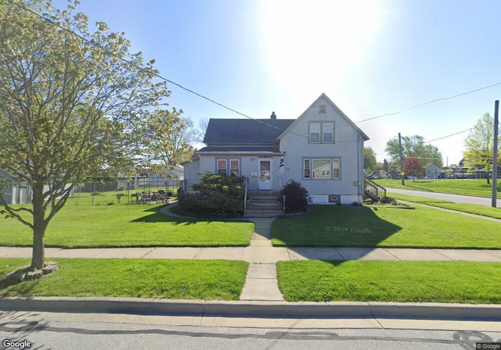
702 N Grant St Crown Point, IN 46307
Estimated Value: $265,576 - $326,000
4
Beds
1
Bath
1,872
Sq Ft
$153/Sq Ft
Est. Value
About This Home
This home is located at 702 N Grant St, Crown Point, IN 46307 and is currently estimated at $286,144, approximately $152 per square foot. 702 N Grant St is a home located in Lake County with nearby schools including Timothy Ball Elementary School, Robert Taft Middle School, and Crown Point High School.
Ownership History
Date
Name
Owned For
Owner Type
Purchase Details
Closed on
Sep 26, 2007
Sold by
Lynk John D and Lynk Susan
Bought by
Purkey David A
Current Estimated Value
Home Financials for this Owner
Home Financials are based on the most recent Mortgage that was taken out on this home.
Original Mortgage
$142,500
Outstanding Balance
$90,540
Interest Rate
6.55%
Mortgage Type
Purchase Money Mortgage
Estimated Equity
$195,604
Create a Home Valuation Report for This Property
The Home Valuation Report is an in-depth analysis detailing your home's value as well as a comparison with similar homes in the area
Home Values in the Area
Average Home Value in this Area
Purchase History
| Date | Buyer | Sale Price | Title Company |
|---|---|---|---|
| Purkey David A | -- | Ticor Cp |
Source: Public Records
Mortgage History
| Date | Status | Borrower | Loan Amount |
|---|---|---|---|
| Open | Purkey David A | $142,500 |
Source: Public Records
Tax History Compared to Growth
Tax History
| Year | Tax Paid | Tax Assessment Tax Assessment Total Assessment is a certain percentage of the fair market value that is determined by local assessors to be the total taxable value of land and additions on the property. | Land | Improvement |
|---|---|---|---|---|
| 2024 | $5,406 | $208,500 | $35,000 | $173,500 |
| 2023 | $2,160 | $196,700 | $35,000 | $161,700 |
| 2022 | $2,160 | $196,000 | $35,000 | $161,000 |
| 2021 | $2,031 | $185,000 | $25,100 | $159,900 |
| 2020 | $1,951 | $177,900 | $25,100 | $152,800 |
| 2019 | $1,978 | $176,300 | $25,100 | $151,200 |
| 2018 | $2,028 | $169,200 | $25,100 | $144,100 |
| 2017 | $1,976 | $164,600 | $25,100 | $139,500 |
| 2016 | $1,973 | $162,400 | $25,100 | $137,300 |
| 2014 | $1,824 | $162,400 | $25,100 | $137,300 |
| 2013 | $1,931 | $167,600 | $25,100 | $142,500 |
Source: Public Records
Map
Nearby Homes
- 808 N West St
- 511 N West St
- 380 N Indiana Ave
- 360 N Indiana Ave
- 150 N Ridge St
- 138 N Grant St
- 312 Summit Park Ct S
- 310 N Indiana Ave
- 221 N West St
- 306 Holton Ridge
- 411 Prairie St
- 407 Prairie St
- 301 Hoffman St
- 206 Birch St
- 1206 Sycamore St
- 222 Maple St
- 621 Pratt St
- 0 W Joliet St
- 531 E Joliet St
- 1250 E North St
- 408 E Dahlgren St
- 715 N Grant St
- 708 N Grant St
- 414 E Dahlgren St
- 718 N Grant St
- 711 N Jackson St
- 713-715 N Grant St
- 713 N Grant St Unit 715
- 420 E Dahlgren St
- 713 N Jackson St
- 719 N Grant St
- 715 N Jackson St
- 802 N Grant St
- 804 N Grant St
- 803 N Grant St
- 610 N Sherman St
- 801 N Jackson St
- 501 E Dahlgren St
- 712 N Jackson St
- 700 N Jackson St