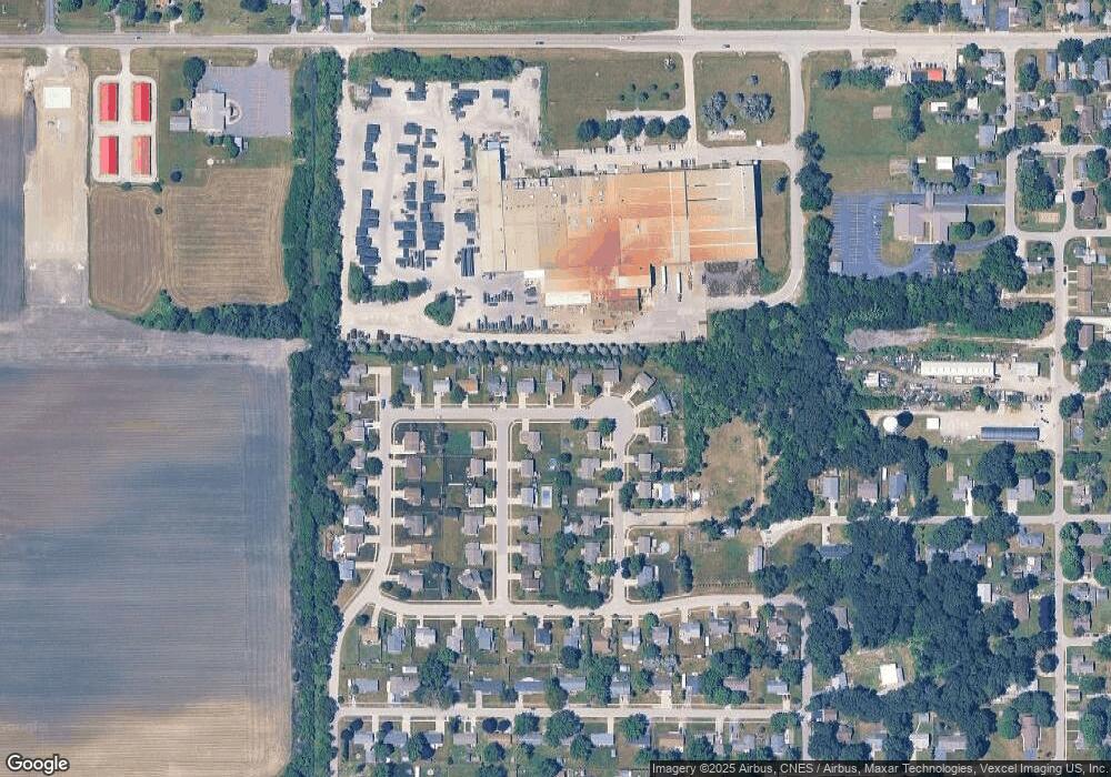
702 N Hampton Place Kouts, IN 46347
Porter County NeighborhoodEstimated Value: $264,000 - $274,000
3
Beds
2
Baths
1,628
Sq Ft
$165/Sq Ft
Est. Value
About This Home
This home is located at 702 N Hampton Place, Kouts, IN 46347 and is currently estimated at $269,407, approximately $165 per square foot. 702 N Hampton Place is a home located in Porter County with nearby schools including Kouts Elementary School, Kouts Middle/High School, and Midwest Academy.
Ownership History
Date
Name
Owned For
Owner Type
Purchase Details
Closed on
Apr 27, 2009
Sold by
Vanderzee Timothy C
Bought by
Gronek Mark A
Current Estimated Value
Home Financials for this Owner
Home Financials are based on the most recent Mortgage that was taken out on this home.
Original Mortgage
$149,547
Outstanding Balance
$94,487
Interest Rate
4.85%
Mortgage Type
VA
Estimated Equity
$174,920
Create a Home Valuation Report for This Property
The Home Valuation Report is an in-depth analysis detailing your home's value as well as a comparison with similar homes in the area
Home Values in the Area
Average Home Value in this Area
Purchase History
| Date | Buyer | Sale Price | Title Company |
|---|---|---|---|
| Gronek Mark A | -- | Chicago Title Insurance Co |
Source: Public Records
Mortgage History
| Date | Status | Borrower | Loan Amount |
|---|---|---|---|
| Open | Gronek Mark A | $149,547 |
Source: Public Records
Tax History Compared to Growth
Tax History
| Year | Tax Paid | Tax Assessment Tax Assessment Total Assessment is a certain percentage of the fair market value that is determined by local assessors to be the total taxable value of land and additions on the property. | Land | Improvement |
|---|---|---|---|---|
| 2024 | $1,075 | $197,800 | $32,600 | $165,200 |
| 2023 | $1,513 | $193,100 | $31,500 | $161,600 |
| 2022 | $1,486 | $178,600 | $31,500 | $147,100 |
| 2021 | $1,492 | $169,800 | $31,500 | $138,300 |
| 2020 | $1,477 | $169,800 | $27,400 | $142,400 |
| 2019 | $1,234 | $148,000 | $27,400 | $120,600 |
| 2018 | $1,103 | $137,900 | $27,400 | $110,500 |
| 2017 | $1,095 | $140,300 | $27,400 | $112,900 |
| 2016 | $1,012 | $132,800 | $27,500 | $105,300 |
| 2014 | $949 | $118,900 | $26,900 | $92,000 |
| 2013 | -- | $117,300 | $28,100 | $89,200 |
Source: Public Records
Map
Nearby Homes
- 406 S Pleasant Dr
- 501 W Elizabeth St
- 702 W Jefferson St
- 201 Will St
- 408 Coyote Trail
- 403 N Main St
- 0 Vanessa Way Unit GNR544729
- 0 Sharyn St Unit GNR544743
- 0 Sharyn St Unit GNR544737
- 0 Sharyn St Unit GNR544741
- 209 E Ross Ave
- 304 Shady Ln
- 407 Mckinley St
- 305 Shady Ln
- 0-Lot B4-5 St Road 8
- 0-Lot B6-7 State Road 8
- 0-B1-3 State Road 8
- 1 E Jeflynn Ct
- 156 Lee Dr
- 81 E 1050 S
- 702 N Hampton Place
- 608 N Hampton Place
- 704 N Hampton Place
- 401 Sutton Ave
- 606 N Hampton Place
- 706 N Hampton Place
- 402 Gordon Terrace
- 606 N Hampton Place
- 403 Sutton Ave
- 404 Gordon Terrace
- 708 N Hampton Place
- 604 N Hampton Place
- 402 Sutton Ave
- 305 Gordon Terrace
- 405 Sutton Ave
- 406 Gordon Terrace
- 802 N Hampton Place
- 401 Gordon Terrace
- 404 Sutton Ave
- 403 Gordon Terrace
