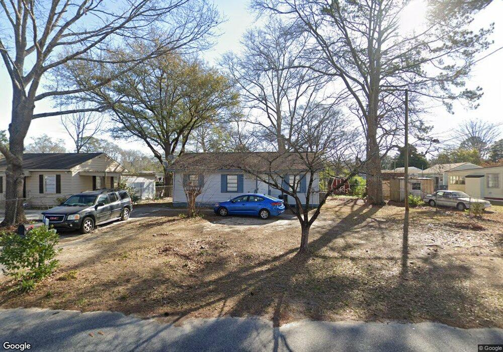
702 Paul St Warner Robins, GA 31088
Estimated Value: $67,000 - $116,000
--
Bed
1
Bath
950
Sq Ft
$89/Sq Ft
Est. Value
About This Home
This home is located at 702 Paul St, Warner Robins, GA 31088 and is currently estimated at $84,589, approximately $89 per square foot. 702 Paul St is a home located in Houston County with nearby schools including C. B. Watson Primary School, Pearl Stephens Elementary School, and Huntington Middle School.
Ownership History
Date
Name
Owned For
Owner Type
Purchase Details
Closed on
May 5, 2017
Sold by
Kent Ronald D
Bought by
Kent Rental Properties Llc
Current Estimated Value
Purchase Details
Closed on
Aug 25, 1987
Sold by
Tunison Lucien
Bought by
Kent Ronald D
Purchase Details
Closed on
Dec 29, 1977
Sold by
Blair Robert G and Blair Judy E
Bought by
Tunison Lucien
Purchase Details
Closed on
Apr 25, 1977
Sold by
Veterans Administration
Bought by
Blair Robert G and Blair Judy E
Purchase Details
Closed on
Dec 8, 1975
Sold by
Federal National Mortgage Asso
Bought by
Veterans Administration
Purchase Details
Closed on
Jan 21, 1975
Sold by
Williams Realty Corp
Bought by
Brooks Bennie
Purchase Details
Closed on
Nov 13, 1974
Sold by
Haven William L and Haven Rosalind
Bought by
Williams Realty Corp
Purchase Details
Closed on
Oct 23, 1968
Sold by
Brown C E
Bought by
Haven William L and Haven Rosalind B
Purchase Details
Closed on
Oct 22, 1968
Sold by
Brown H L
Bought by
Brown C E
Purchase Details
Closed on
Dec 31, 1953
Bought by
Brown H L
Create a Home Valuation Report for This Property
The Home Valuation Report is an in-depth analysis detailing your home's value as well as a comparison with similar homes in the area
Home Values in the Area
Average Home Value in this Area
Purchase History
| Date | Buyer | Sale Price | Title Company |
|---|---|---|---|
| Kent Rental Properties Llc | $33,200 | -- | |
| Kent Ronald D | $12,000 | -- | |
| Tunison Lucien | -- | -- | |
| Blair Robert G | $12,300 | -- | |
| Veterans Administration | -- | -- | |
| Federal National Mortgage Assoc | -- | -- | |
| Brooks Bennie | $1,000 | -- | |
| Williams Realty Corp | $1,000 | -- | |
| Haven William L | $8,500 | -- | |
| Brown C E | -- | -- | |
| Brown H L | -- | -- |
Source: Public Records
Tax History Compared to Growth
Tax History
| Year | Tax Paid | Tax Assessment Tax Assessment Total Assessment is a certain percentage of the fair market value that is determined by local assessors to be the total taxable value of land and additions on the property. | Land | Improvement |
|---|---|---|---|---|
| 2024 | $692 | $21,160 | $3,800 | $17,360 |
| 2023 | $591 | $17,920 | $3,800 | $14,120 |
| 2022 | $378 | $16,440 | $3,800 | $12,640 |
| 2021 | $272 | $11,760 | $3,800 | $7,960 |
| 2020 | $272 | $11,720 | $3,800 | $7,920 |
| 2019 | $272 | $11,720 | $3,800 | $7,920 |
| 2018 | $272 | $11,720 | $3,800 | $7,920 |
| 2017 | $273 | $11,720 | $3,800 | $7,920 |
| 2016 | $309 | $13,280 | $3,800 | $9,480 |
| 2015 | $0 | $13,280 | $3,800 | $9,480 |
| 2014 | -- | $15,840 | $3,800 | $12,040 |
| 2013 | -- | $15,840 | $3,800 | $12,040 |
Source: Public Records
Map
Nearby Homes
- 601 Paul St
- 106 Ida Ave
- 108 Ida Ave
- 213 Stratford Dr
- 908 Crestwood Terrace
- 803 Crestwood Terrace
- 104 Pleasant Hill Ct
- 509 S Pleasant Hill Rd
- 108 Southend Ave
- 603 S Davis Dr
- 310 Orchard Way
- 111 Forrester Dr
- 204 Deerwood Cir
- 212 Orchard Way
- 113 Sandra Ave
- 210 Scott Blvd
- 214 Kingsbury Cir
- 304 Wall St
- 113 Vernon Dr
- 201 Sherman St