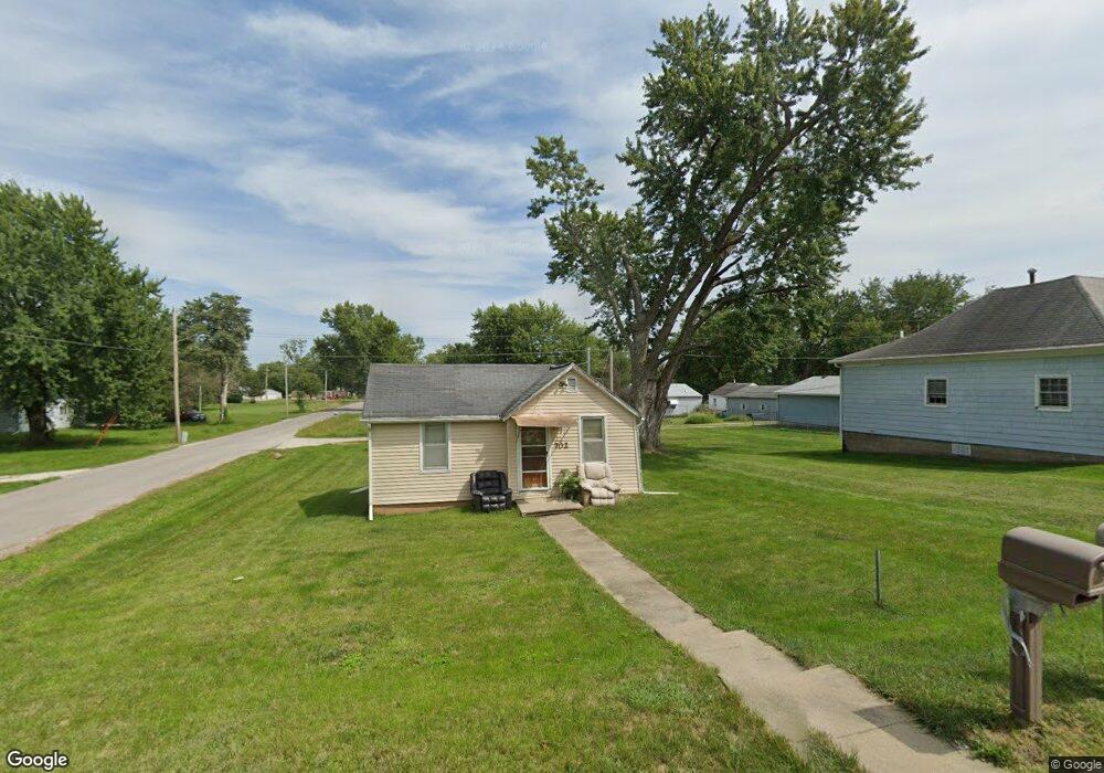
702 S Webster St Ottumwa, IA 52501
Estimated Value: $39,000 - $63,000
1
Bed
1
Bath
515
Sq Ft
$101/Sq Ft
Est. Value
About This Home
This home is located at 702 S Webster St, Ottumwa, IA 52501 and is currently estimated at $52,004, approximately $100 per square foot. 702 S Webster St is a home located in Wapello County with nearby schools including Douma Elementary School, Liberty Elementary School, and Evans Middle School.
Ownership History
Date
Name
Owned For
Owner Type
Purchase Details
Closed on
Jun 9, 2010
Sold by
Wilt John E and Wilt Tonya K
Bought by
Cortes Noe S
Current Estimated Value
Purchase Details
Closed on
Jan 21, 2005
Sold by
Gay Linda K and Gay Edwin
Bought by
Wilt John E
Home Financials for this Owner
Home Financials are based on the most recent Mortgage that was taken out on this home.
Original Mortgage
$12,825
Interest Rate
5.83%
Mortgage Type
New Conventional
Purchase Details
Closed on
Jan 12, 2005
Sold by
Ruhs Carolyn Ann and Macvey Ruth M
Bought by
Wilt John E
Home Financials for this Owner
Home Financials are based on the most recent Mortgage that was taken out on this home.
Original Mortgage
$12,825
Interest Rate
5.83%
Mortgage Type
New Conventional
Create a Home Valuation Report for This Property
The Home Valuation Report is an in-depth analysis detailing your home's value as well as a comparison with similar homes in the area
Home Values in the Area
Average Home Value in this Area
Purchase History
| Date | Buyer | Sale Price | Title Company |
|---|---|---|---|
| Cortes Noe S | $28,000 | None Available | |
| Wilt John E | $7,000 | None Available | |
| Wilt John E | $7,000 | None Available |
Source: Public Records
Mortgage History
| Date | Status | Borrower | Loan Amount |
|---|---|---|---|
| Previous Owner | Wilt John E | $12,825 |
Source: Public Records
Tax History Compared to Growth
Tax History
| Year | Tax Paid | Tax Assessment Tax Assessment Total Assessment is a certain percentage of the fair market value that is determined by local assessors to be the total taxable value of land and additions on the property. | Land | Improvement |
|---|---|---|---|---|
| 2024 | $590 | $27,210 | $5,170 | $22,040 |
| 2023 | $528 | $27,210 | $5,170 | $22,040 |
| 2022 | $526 | $22,080 | $5,170 | $16,910 |
| 2021 | $526 | $20,710 | $5,170 | $15,540 |
| 2020 | $478 | $18,620 | $5,170 | $13,450 |
| 2019 | $488 | $18,620 | $0 | $0 |
| 2018 | $474 | $18,620 | $0 | $0 |
| 2017 | $474 | $18,620 | $0 | $0 |
| 2016 | $364 | $14,525 | $0 | $0 |
| 2015 | $364 | $14,525 | $0 | $0 |
| 2014 | -- | $14,525 | $0 | $0 |
Source: Public Records
Map
Nearby Homes
- 0 S Webster Unit NOC6332429
- 00 S Webster St
- 404 W Mary St
- 534 S Ferry St
- 522 S Adella St
- 420 S Ferry St
- 549 Elma St
- 539 Elma St
- 1018 W Mary St
- 434 S Ward St
- 317 S Ward St
- 513 Lynwood Cir
- 138 Minnesota St
- 522 S Davis St
- 559 S Moore St
- 615 S Moore St
- 117 S Milner St
- 322 S Davis St
- 9 Kingsley Dr
- 117 Lynwood Ave
- 705 S Webster St
- 712 S Webster St
- 628 S Webster St
- 717 S Webster
- 625 S Webster St
- 709 Lillian St
- 419 Portafield St
- 715 Lillian St
- 419 Porterfield St
- 724 S Webster St
- 719 Lillian St
- 612 S Webster St
- 721 S Webster St
- 723 Lillian St
- 728 S Webster St
- 719 S Lillian
- 410 Porterfield St
- 610 S Webster St
- 727 Lillian St
- 710 Lillian St