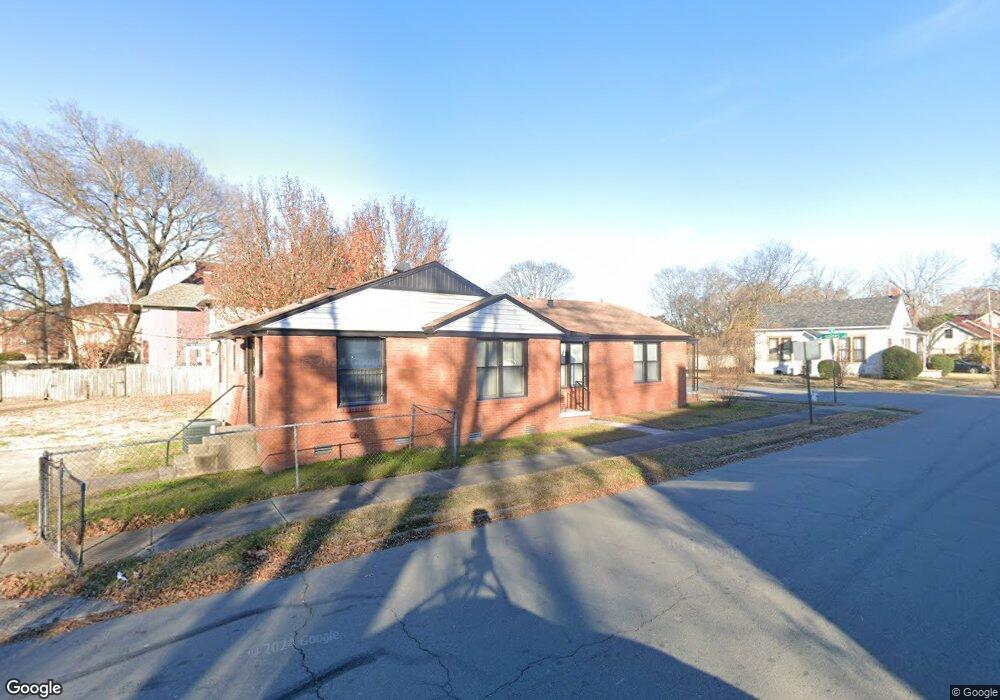
702 W 15th St Little Rock, AR 72202
Downtown Little Rock NeighborhoodEstimated Value: $218,000 - $271,000
3
Beds
2
Baths
1,641
Sq Ft
$148/Sq Ft
Est. Value
About This Home
This home is located at 702 W 15th St, Little Rock, AR 72202 and is currently estimated at $242,807, approximately $147 per square foot. 702 W 15th St is a home located in Pulaski County with nearby schools including M.L. King Elementary School, Dunbar Magnet Middle School, and Central High School.
Ownership History
Date
Name
Owned For
Owner Type
Purchase Details
Closed on
Mar 27, 2002
Sold by
Gray Amos O and Gray Esther S
Bought by
Stokes Terrell A
Current Estimated Value
Home Financials for this Owner
Home Financials are based on the most recent Mortgage that was taken out on this home.
Original Mortgage
$66,300
Outstanding Balance
$27,188
Interest Rate
6.8%
Mortgage Type
VA
Estimated Equity
$215,619
Create a Home Valuation Report for This Property
The Home Valuation Report is an in-depth analysis detailing your home's value as well as a comparison with similar homes in the area
Home Values in the Area
Average Home Value in this Area
Purchase History
| Date | Buyer | Sale Price | Title Company |
|---|---|---|---|
| Stokes Terrell A | $65,000 | American Abstract & Title Co |
Source: Public Records
Mortgage History
| Date | Status | Borrower | Loan Amount |
|---|---|---|---|
| Open | Stokes Terrell A | $66,300 |
Source: Public Records
Tax History Compared to Growth
Tax History
| Year | Tax Paid | Tax Assessment Tax Assessment Total Assessment is a certain percentage of the fair market value that is determined by local assessors to be the total taxable value of land and additions on the property. | Land | Improvement |
|---|---|---|---|---|
| 2025 | $3,713 | $53,043 | $15,200 | $37,843 |
| 2024 | $3,562 | $53,043 | $15,200 | $37,843 |
| 2023 | $3,562 | $53,043 | $15,200 | $37,843 |
| 2022 | $3,265 | $53,043 | $15,200 | $37,843 |
| 2021 | $2,989 | $42,400 | $15,200 | $27,200 |
| 2020 | $2,812 | $42,400 | $15,200 | $27,200 |
| 2019 | $2,611 | $42,400 | $15,200 | $27,200 |
| 2018 | $2,410 | $42,400 | $15,200 | $27,200 |
| 2017 | $2,209 | $42,400 | $15,200 | $27,200 |
| 2016 | $2,008 | $34,200 | $6,800 | $27,400 |
| 2015 | $1,610 | $26,780 | $6,800 | $19,980 |
| 2014 | $1,610 | $22,960 | $6,800 | $16,160 |
Source: Public Records
Map
Nearby Homes
- 1505 S State St
- Lot 219/3 S State St Unit 34L0201116800
- 1416 S Izard St
- 1515 S Izard St
- 1504 S Arch St
- 1621 S State St
- 1520 Broadway St
- 1015 W 15th St
- 1708 S Arch St
- 1701 S Arch St
- 1509 S Spring St
- 1114 W 12th St
- 1518 S Cross St
- 1608 S Cross St
- 1855 S Chester St
- 1870 S Izard St
- 201 W Daisy L Gatson Bates Dr
- 1853 S Ringo St
- 1701 Center St
- 1310 S Louisiana St
- 1414 S Gaines St
- 1410 S Gaines St
- 1410 S Gaines St Unit C
- 1410 S Gaines St Unit B
- 1500 S Gaines St
- 1419 S State St
- 1415 S State St
- 719 W 15th St
- 1423 S Gaines St
- 1419 S Gaines St
- 1411 S Gaines St
- 1508 S Gaines St
- 721 W 15th St
- 1409 S Gaines St
- 1409 S State St
- 1501 S Gaines St
- 623 W Daisy L Gatson Bates Dr
- 623 Daisy Bates St
- W Daisy L Gatson Bates Dr
- 1505 S Gaines St