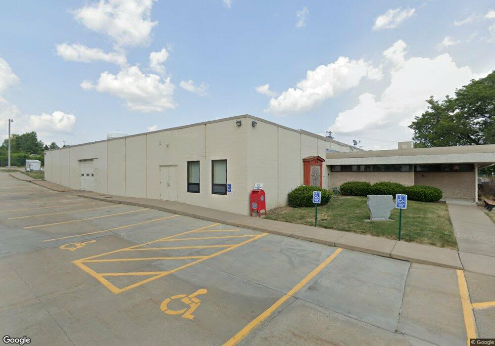
702 W 35th St Davenport, IA 52806
North Side NeighborhoodEstimated Value: $795,770
--
Bed
--
Bath
1,783
Sq Ft
$446/Sq Ft
Est. Value
About This Home
This home is located at 702 W 35th St, Davenport, IA 52806 and is currently estimated at $795,770, approximately $446 per square foot. 702 W 35th St is a home located in Scott County with nearby schools including Adams Elementary School, Williams Intermediate School, and North High School.
Ownership History
Date
Name
Owned For
Owner Type
Purchase Details
Closed on
Jan 30, 2009
Sold by
Sh Holdings Lc
Bought by
American Legion Post 26
Current Estimated Value
Home Financials for this Owner
Home Financials are based on the most recent Mortgage that was taken out on this home.
Original Mortgage
$415,000
Outstanding Balance
$260,206
Interest Rate
5.03%
Mortgage Type
Future Advance Clause Open End Mortgage
Estimated Equity
$535,564
Create a Home Valuation Report for This Property
The Home Valuation Report is an in-depth analysis detailing your home's value as well as a comparison with similar homes in the area
Home Values in the Area
Average Home Value in this Area
Purchase History
| Date | Buyer | Sale Price | Title Company |
|---|---|---|---|
| American Legion Post 26 | $362,500 | None Available |
Source: Public Records
Mortgage History
| Date | Status | Borrower | Loan Amount |
|---|---|---|---|
| Open | American Legion Post 26 | $415,000 |
Source: Public Records
Tax History Compared to Growth
Tax History
| Year | Tax Paid | Tax Assessment Tax Assessment Total Assessment is a certain percentage of the fair market value that is determined by local assessors to be the total taxable value of land and additions on the property. | Land | Improvement |
|---|---|---|---|---|
| 2025 | -- | $943,840 | $162,970 | $780,870 |
| 2024 | -- | $887,470 | $0 | $0 |
| 2023 | -- | $967,970 | $0 | $0 |
| 2022 | $0 | $714,720 | $0 | $0 |
| 2021 | $0 | $714,720 | $0 | $0 |
| 2020 | $0 | $714,720 | $0 | $0 |
| 2019 | $0 | $0 | $0 | $0 |
| 2018 | $0 | $0 | $0 | $0 |
| 2017 | $0 | $0 | $0 | $0 |
| 2016 | -- | $0 | $0 | $0 |
| 2015 | -- | $0 | $0 | $0 |
| 2014 | -- | $0 | $0 | $0 |
| 2013 | -- | $0 | $0 | $0 |
| 2012 | -- | $754,900 | $0 | $0 |
Source: Public Records
Map
Nearby Homes
- 405 W 30th St
- 3624 Marquette St
- 235 W 32nd St
- 4015 Lillie Ave Unit 106
- 2830 Western Ave
- 3546 Fair Ave
- 1325 W 35th St
- 510 W Garfield St
- 3438 Taylor St
- 4023 Lillie Ave Unit 406
- 4023 Lillie Ave Unit 505
- 2761 Scott St
- 537 W Hayes St
- 2813 N Main St
- 320 W Hayes St Unit 320, 320 1/2, 320 1/
- 2721 N Harrison St
- 2927 Fair Ave
- 4311 Wittman Dr
- 4244 Wittman Dr
- 3433 Washington St
- 626 W 35th St
- 616 W 35th St
- 616 W 35th St
- 805 W 35th St
- 516 W 35th St
- 516 W 35th St Unit 2
- 516 W 35th St Unit 102
- 516 W 35th St Unit 204
- 516 W 35th St Unit 101
- 430 W 35th St
- 3513 Vine Ct
- 910 W 35th St
- 923 W 35th St
- 3224 Western Ave
- 1003 W 35th St
- 3210 Western Ave
- 1008 W 35th St
- 1011 W 35th St
- 608 W 32nd St
- 3510 Vine Ct