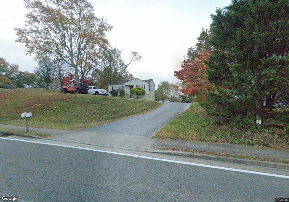
702 W Emory Rd Powell, TN 37849
Estimated Value: $284,938 - $369,000
3
Beds
1
Bath
1,872
Sq Ft
$176/Sq Ft
Est. Value
About This Home
This home is located at 702 W Emory Rd, Powell, TN 37849 and is currently estimated at $328,735, approximately $175 per square foot. 702 W Emory Rd is a home located in Knox County with nearby schools including Powell Elementary School, Powell Middle School, and Powell High School.
Ownership History
Date
Name
Owned For
Owner Type
Purchase Details
Closed on
Mar 30, 2023
Sold by
Mathews Tyler H and Mathews Megan H
Bought by
Mathews Real Estate Llc
Current Estimated Value
Purchase Details
Closed on
Sep 11, 2020
Sold by
Mathews Pamela Hall and Mathews Donald Kent
Bought by
Mathews Tyler H and Mathews Megan H
Home Financials for this Owner
Home Financials are based on the most recent Mortgage that was taken out on this home.
Original Mortgage
$150,000
Interest Rate
2.8%
Mortgage Type
Seller Take Back
Purchase Details
Closed on
Apr 28, 2003
Sold by
Reese Edward and Reese Margaret L
Bought by
Mathews Donald Kent and Mathews Pamela Hall
Home Financials for this Owner
Home Financials are based on the most recent Mortgage that was taken out on this home.
Original Mortgage
$65,000
Interest Rate
5.19%
Purchase Details
Closed on
May 17, 2000
Sold by
Reese Edward and Reese Margaret L
Bought by
State Of Tennessee
Create a Home Valuation Report for This Property
The Home Valuation Report is an in-depth analysis detailing your home's value as well as a comparison with similar homes in the area
Home Values in the Area
Average Home Value in this Area
Purchase History
| Date | Buyer | Sale Price | Title Company |
|---|---|---|---|
| Mathews Real Estate Llc | -- | None Listed On Document | |
| Mathews Tyler H | $195,000 | None Available | |
| Mathews Donald Kent | $130,000 | -- | |
| State Of Tennessee | $68,150 | -- |
Source: Public Records
Mortgage History
| Date | Status | Borrower | Loan Amount |
|---|---|---|---|
| Previous Owner | Mathews Tyler H | $150,000 | |
| Previous Owner | Mathews Donald Kent | $65,000 |
Source: Public Records
Tax History
| Year | Tax Paid | Tax Assessment Tax Assessment Total Assessment is a certain percentage of the fair market value that is determined by local assessors to be the total taxable value of land and additions on the property. | Land | Improvement |
|---|---|---|---|---|
| 2025 | $703 | $45,225 | $0 | $0 |
| 2024 | $703 | $45,225 | $0 | $0 |
| 2023 | $703 | $45,225 | $0 | $0 |
| 2022 | $703 | $45,225 | $0 | $0 |
| 2021 | $632 | $29,825 | $0 | $0 |
| 2020 | $632 | $29,825 | $0 | $0 |
| 2019 | $632 | $29,825 | $0 | $0 |
| 2018 | $632 | $29,825 | $0 | $0 |
| 2017 | $632 | $29,825 | $0 | $0 |
| 2016 | $702 | $0 | $0 | $0 |
| 2015 | $702 | $0 | $0 | $0 |
| 2014 | $702 | $0 | $0 | $0 |
Source: Public Records
Map
Nearby Homes
- 333 Granville Conner Rd
- 7346 Whispering Creek Ln
- 1501 Sunrise Crest Ln
- 7344 Whispering Creek Ln
- 503 W Beaver Creek Dr
- 1503 Sunrise Crest Ln
- 7336 Whispering Creek Ln
- 7328 Whispering Creek Ln
- 7248 Thornbrook Ln
- 1320 W Beaver Creek Dr
- 904 Granville Conner Rd
- 8001 Helen Dr
- 7405 Central Avenue Pike
- 1205 Hoss Rd
- 1204 Emerald Forest Ln
- 1302 Lula Bell Dr
- 117 Mayview Dr
- 1312 Lula Bell Dr
- 1715 Levy Dr
- 8017 Little Joe Rd
- 706 W Emory Rd
- 534 W Emory Rd
- 701 W Emory Rd
- 708 W Emory Rd
- 528 W Emory Rd
- 705 W Emory Rd
- 7608 Gill Rd
- 521 W Emory Rd
- 7607 Gill Rd
- 709 W Emory Rd
- 7612 Gill Rd
- 714 W Emory Rd
- 704 Bryant Terrace
- 715 W Emory Rd
- 7700 Gill Rd
- 922 W Emory Rd
- 7601 Windwood Dr
- 7705 Gill Rd
- 708 Bryant Terrace
- 7615 Windwood Dr
Your Personal Tour Guide
Ask me questions while you tour the home.