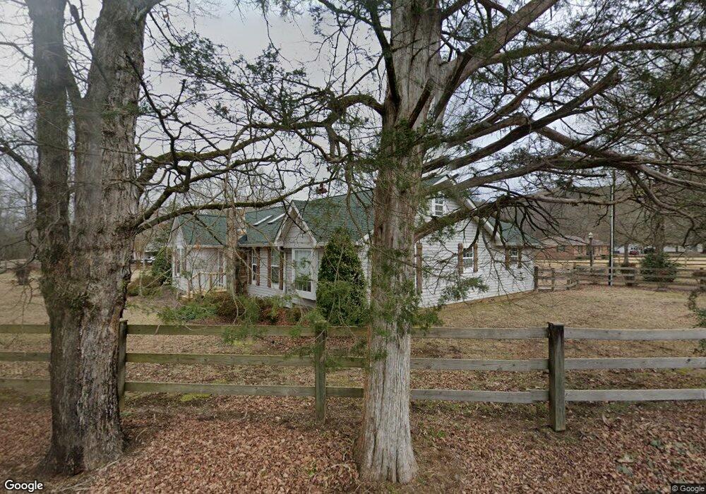
7020 Levi Rd Hixson, TN 37343
Falling Water NeighborhoodEstimated Value: $277,733 - $527,000
--
Bed
--
Bath
1,783
Sq Ft
$210/Sq Ft
Est. Value
About This Home
This home is located at 7020 Levi Rd, Hixson, TN 37343 and is currently estimated at $374,933, approximately $210 per square foot. 7020 Levi Rd is a home located in Hamilton County with nearby schools including Ganns Middle Valley Elementary School, Red Bank Middle School, and Red Bank High School.
Ownership History
Date
Name
Owned For
Owner Type
Purchase Details
Closed on
Aug 15, 2005
Sold by
Smith Tracy W and Smith Karen S
Bought by
Dupree Raymond B and Dupree Dianna S
Current Estimated Value
Purchase Details
Closed on
Jan 12, 1998
Sold by
Prichard W B W and Prichard Laura
Bought by
Smith Tracy W and Smith Karen S
Home Financials for this Owner
Home Financials are based on the most recent Mortgage that was taken out on this home.
Original Mortgage
$51,200
Interest Rate
7.18%
Mortgage Type
Credit Line Revolving
Create a Home Valuation Report for This Property
The Home Valuation Report is an in-depth analysis detailing your home's value as well as a comparison with similar homes in the area
Home Values in the Area
Average Home Value in this Area
Purchase History
| Date | Buyer | Sale Price | Title Company |
|---|---|---|---|
| Dupree Raymond B | $151,000 | Pioneer Title Agency Inc | |
| Smith Tracy W | $43,000 | First Title |
Source: Public Records
Mortgage History
| Date | Status | Borrower | Loan Amount |
|---|---|---|---|
| Previous Owner | Smith Tracy W | $51,200 |
Source: Public Records
Tax History Compared to Growth
Tax History
| Year | Tax Paid | Tax Assessment Tax Assessment Total Assessment is a certain percentage of the fair market value that is determined by local assessors to be the total taxable value of land and additions on the property. | Land | Improvement |
|---|---|---|---|---|
| 2024 | $1,170 | $52,300 | $0 | $0 |
| 2023 | $1,179 | $52,300 | $0 | $0 |
| 2022 | $1,179 | $52,300 | $0 | $0 |
| 2021 | $1,179 | $52,300 | $0 | $0 |
| 2020 | $1,167 | $39,475 | $0 | $0 |
| 2019 | $1,101 | $39,475 | $0 | $0 |
| 2018 | $1,101 | $39,475 | $0 | $0 |
| 2017 | $1,101 | $39,475 | $0 | $0 |
| 2016 | $1,062 | $0 | $0 | $0 |
| 2015 | $1,062 | $38,075 | $0 | $0 |
| 2014 | $1,062 | $0 | $0 | $0 |
Source: Public Records
Map
Nearby Homes
- 733 Ray Ln
- 598 Blue Canyon Ln
- 5940 Sunset Canyon Dr
- 311 Roberts Mill Rd
- 805 Pickett Gulf Rd
- 595 Deer Valley Dr
- 0 Rocky Ledge Rd Unit 1514267
- 855 Split Rock Trail
- 1000 Sawyer Cemetery Rd
- 935 Bluff Ledge Trail
- 8545 Mountain Laurel Trail Unit 40
- 8545 Mountain Laurel Trail
- 7917 Mountain Laurel Trail Unit 85
- 7917 Mountain Laurel Trail
- 8216 Mountain Laurel Trail
- 8583 Mountain Laurel Trail Unit 39
- 8583 Mountain Laurel Trail
- 7980 Mountain Laurel Trail
- Rocky Ledge Dr Unit LotWP001
- 1462 Bent Hickory Rd Unit 134