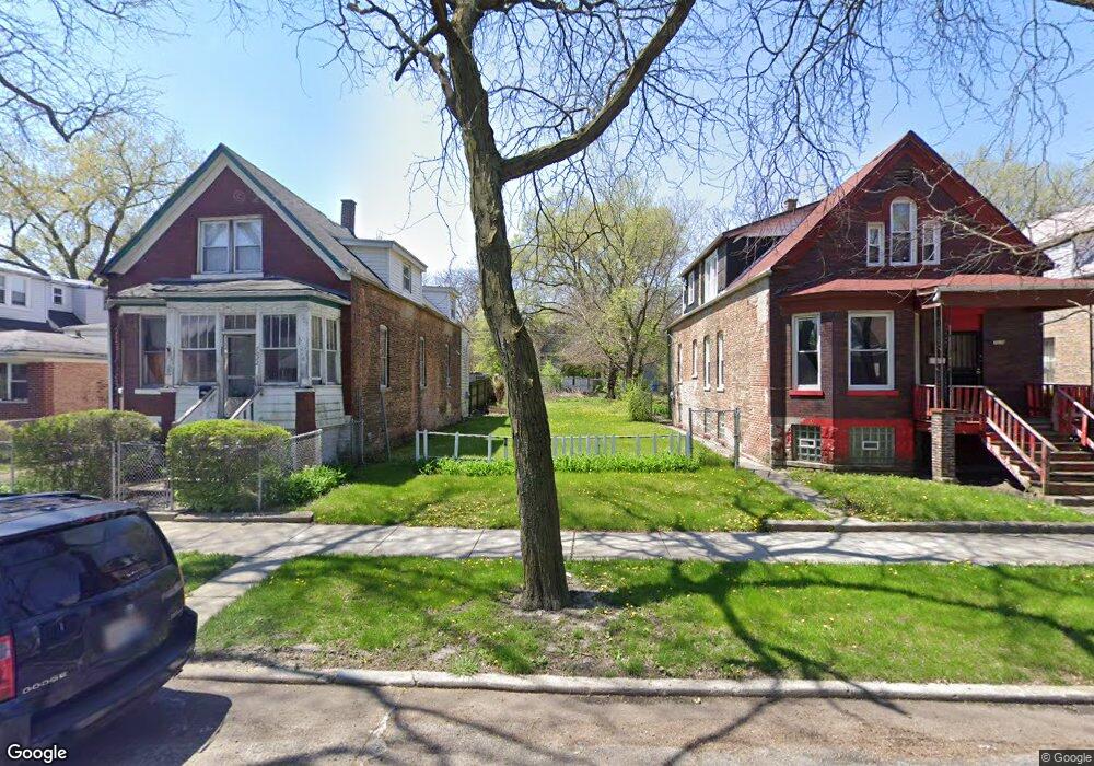
7020 S Throop St Chicago, IL 60636
Englewood NeighborhoodEstimated Value: $36,993 - $199,000
--
Bed
1
Bath
--
Sq Ft
0.86
Acres
About This Home
This home is located at 7020 S Throop St, Chicago, IL 60636 and is currently estimated at $117,997. 7020 S Throop St is a home located in Cook County with nearby schools including Wentworth Elementary School and The Montessori School of Englewood Charter School.
Ownership History
Date
Name
Owned For
Owner Type
Purchase Details
Closed on
Jan 22, 2003
Sold by
Melvin Derrick L
Bought by
Melvin Lloyd
Current Estimated Value
Home Financials for this Owner
Home Financials are based on the most recent Mortgage that was taken out on this home.
Original Mortgage
$69,300
Outstanding Balance
$36,411
Interest Rate
9.29%
Mortgage Type
Unknown
Estimated Equity
$81,586
Purchase Details
Closed on
Apr 16, 1998
Sold by
Fairbanks Capital Corp
Bought by
Melvin Derrick L
Create a Home Valuation Report for This Property
The Home Valuation Report is an in-depth analysis detailing your home's value as well as a comparison with similar homes in the area
Home Values in the Area
Average Home Value in this Area
Purchase History
| Date | Buyer | Sale Price | Title Company |
|---|---|---|---|
| Melvin Lloyd | $77,000 | Chicago Title Insurance Co | |
| Melvin Derrick L | $15,000 | -- |
Source: Public Records
Mortgage History
| Date | Status | Borrower | Loan Amount |
|---|---|---|---|
| Open | Melvin Lloyd | $69,300 |
Source: Public Records
Tax History Compared to Growth
Tax History
| Year | Tax Paid | Tax Assessment Tax Assessment Total Assessment is a certain percentage of the fair market value that is determined by local assessors to be the total taxable value of land and additions on the property. | Land | Improvement |
|---|---|---|---|---|
| 2024 | $514 | $1,125 | $1,125 | -- |
| 2023 | $501 | $2,438 | $2,438 | -- |
| 2022 | $501 | $2,438 | $2,438 | $0 |
| 2021 | $490 | $2,437 | $2,437 | $0 |
| 2020 | $626 | $2,812 | $2,812 | $0 |
| 2019 | $565 | $2,812 | $2,812 | $0 |
| 2018 | $555 | $2,812 | $2,812 | $0 |
| 2017 | $525 | $2,437 | $2,437 | $0 |
| 2016 | $488 | $2,437 | $2,437 | $0 |
| 2015 | $447 | $2,437 | $2,437 | $0 |
| 2014 | $417 | $2,250 | $2,250 | $0 |
| 2013 | $409 | $2,250 | $2,250 | $0 |
Source: Public Records
Map
Nearby Homes
- 7019 S Throop St
- 7041 S Throop St
- 7050 S Throop St
- 7022 S Elizabeth St
- 6943 S Ada St
- 6939 S Ada St
- 6953 S Loomis Blvd
- 6953 S Elizabeth St
- 7042 S Racine Ave
- 6944 S Racine Ave
- 6929 S Loomis Blvd
- 6946 S Loomis Blvd
- 6946 S May St
- 7144 S May St
- 1500 W 71st St
- 6843 S Racine Ave
- 6841 S Bishop St
- 6844 S May St
- 6833 S Bishop St
- 6808 S Ada St
- 7016 S Throop St
- 7022 S Throop St
- 7012 S Throop St
- 7024 S Throop St
- 7010 S Throop St
- 7026 S Throop St
- 7032 S Throop St
- 7006 S Throop St
- 7002 S Throop St
- 7034 S Throop St
- 7019 S Ada St
- 7017 S Ada St
- 7021 S Throop St
- 7015 S Ada St
- 7027 S Ada St
- 7017 S Throop St
- 7015 S Throop St
- 7027 S Throop St
- 7011 S Ada St
- 7000 S Throop St