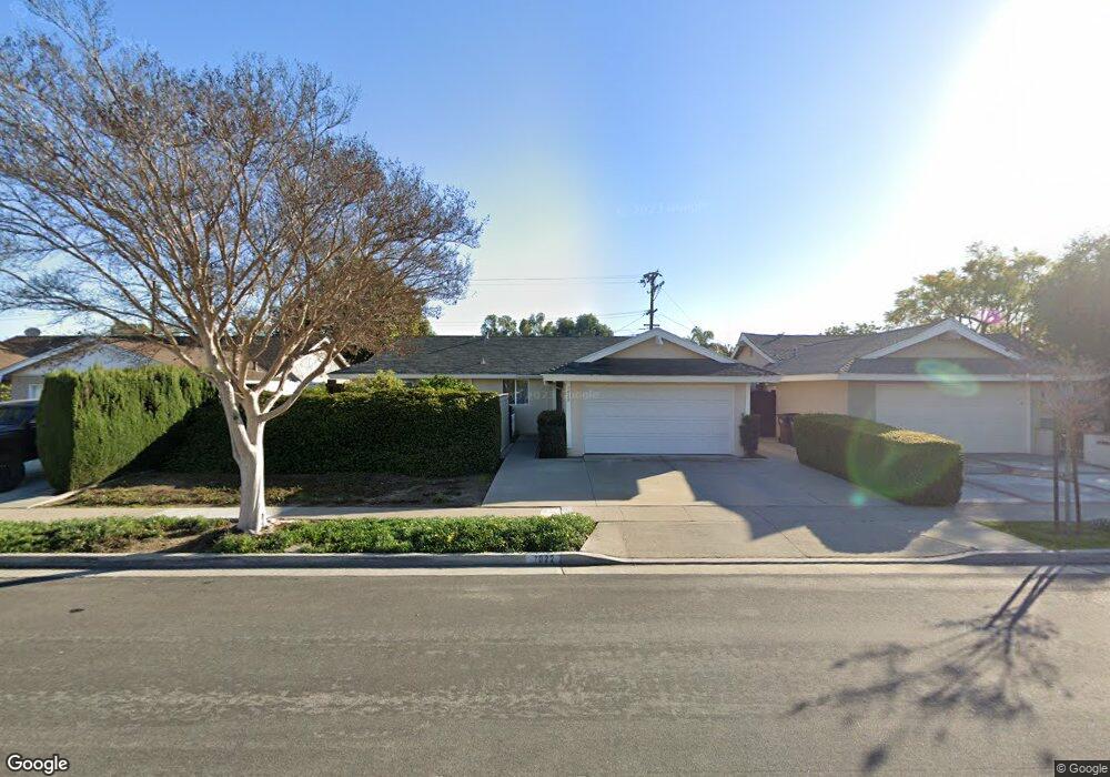
7022 Ford Dr Huntington Beach, CA 92647
Estimated Value: $1,202,394 - $1,437,000
4
Beds
2
Baths
1,390
Sq Ft
$923/Sq Ft
Est. Value
About This Home
This home is located at 7022 Ford Dr, Huntington Beach, CA 92647 and is currently estimated at $1,282,849, approximately $922 per square foot. 7022 Ford Dr is a home located in Orange County with nearby schools including Golden View Elementary School - Environmental Science School, Mesa View Middle School, and Ocean View High.
Ownership History
Date
Name
Owned For
Owner Type
Purchase Details
Closed on
Nov 1, 1995
Sold by
Dale Jeffrey G and Dale Pamela
Bought by
Palafoutas Michael
Current Estimated Value
Purchase Details
Closed on
Nov 14, 1994
Sold by
Dale Jeffrey G and Dale Pamela
Bought by
Mcgrath Francis P and Mcgrath Maureen
Purchase Details
Closed on
Nov 7, 1994
Sold by
Mcgrath Francis P and Mcgrath Maureen
Bought by
Palafoutas Michael
Create a Home Valuation Report for This Property
The Home Valuation Report is an in-depth analysis detailing your home's value as well as a comparison with similar homes in the area
Home Values in the Area
Average Home Value in this Area
Purchase History
| Date | Buyer | Sale Price | Title Company |
|---|---|---|---|
| Palafoutas Michael | -- | Fidelity National Title Ins | |
| Mcgrath Francis P | -- | Chicago Title Company | |
| Palafoutas Michael | $34,000 | Chicago Title Company |
Source: Public Records
Tax History Compared to Growth
Tax History
| Year | Tax Paid | Tax Assessment Tax Assessment Total Assessment is a certain percentage of the fair market value that is determined by local assessors to be the total taxable value of land and additions on the property. | Land | Improvement |
|---|---|---|---|---|
| 2025 | $4,192 | $361,124 | $261,861 | $99,263 |
| 2024 | $4,192 | $354,044 | $256,727 | $97,317 |
| 2023 | $4,094 | $347,102 | $251,693 | $95,409 |
| 2022 | $4,031 | $340,297 | $246,758 | $93,539 |
| 2021 | $3,956 | $333,625 | $241,920 | $91,705 |
| 2020 | $3,912 | $330,205 | $239,440 | $90,765 |
| 2019 | $3,845 | $323,731 | $234,745 | $88,986 |
| 2018 | $3,759 | $317,384 | $230,142 | $87,242 |
| 2017 | $3,699 | $311,161 | $225,629 | $85,532 |
| 2016 | $3,550 | $305,060 | $221,205 | $83,855 |
| 2015 | $3,495 | $300,478 | $217,882 | $82,596 |
| 2014 | $3,425 | $294,593 | $213,614 | $80,979 |
Source: Public Records
Map
Nearby Homes
- 17261 Gothard St Unit 50
- 17261 Gothard St Unit 67
- 17261 Gothard St Unit 63
- 17261 Gothard St Unit 64
- 6611 Crista Palma Dr
- 7252 Elk Cir
- 6672 Sun Dr Unit B
- 16892 Limelight Cir Unit B
- 6600 Warner Ave Unit 50
- 6600 Warner Ave
- 6600 Warner Ave Unit 142
- 17441 Dairyview Cir
- 16722 Goldenwest St
- 17431 Koledo Ln
- 17091 Oak Ln
- 17231 Lido Ln
- 7792 Liberty Dr
- 7850 Slater Ave Unit 31
- 7850 Slater Ave Unit 38
- 7850 Slater Ave Unit 21
- 7032 Ford Dr
- 7002 Ford Dr
- 7021 Nimrod Dr
- 7031 Nimrod Dr
- 7042 Ford Dr
- 17441 Mashie Cir
- 7041 Nimrod Dr
- 17352 Goldenwest St
- 17351 Mill Cir
- 7062 Ford Dr
- 7051 Nimrod Dr
- 17341 Mill Cir
- 17451 Mashie Cir
- 17342 Goldenwest St
- 7072 Ford Dr
- 17392 Whetmore Ln
- 17452 Mashie Cir
- 7061 Nimrod Dr
- 17402 Whetmore Ln
- 17372 Whetmore Ln