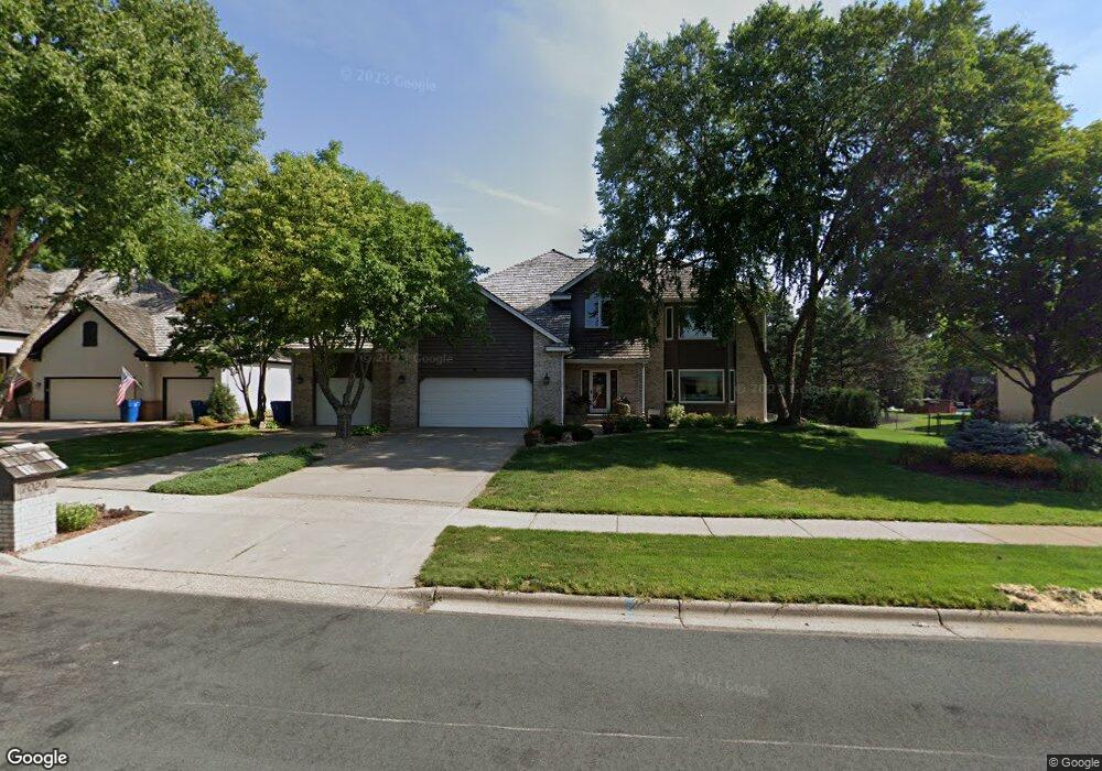
7024 Kenmare Dr Bloomington, MN 55438
West Bloomington NeighborhoodEstimated Value: $759,116 - $1,007,000
4
Beds
4
Baths
1,744
Sq Ft
$518/Sq Ft
Est. Value
About This Home
This home is located at 7024 Kenmare Dr, Bloomington, MN 55438 and is currently estimated at $903,529, approximately $518 per square foot. 7024 Kenmare Dr is a home located in Hennepin County with nearby schools including Olson Elementary School, Olson Middle School, and Jefferson Senior High School.
Ownership History
Date
Name
Owned For
Owner Type
Purchase Details
Closed on
Mar 15, 2022
Sold by
Taylor Lezlie J and Taylor Louis E
Bought by
Taylor Lezlie J and Taylor Louis E
Current Estimated Value
Purchase Details
Closed on
Jun 25, 1998
Sold by
Raley Rita M and Raley Lyle R
Bought by
Taylor Lezlie J and Taylor Louis E
Create a Home Valuation Report for This Property
The Home Valuation Report is an in-depth analysis detailing your home's value as well as a comparison with similar homes in the area
Home Values in the Area
Average Home Value in this Area
Purchase History
| Date | Buyer | Sale Price | Title Company |
|---|---|---|---|
| Taylor Lezlie J | -- | None Listed On Document | |
| Taylor Lezlie J | -- | None Listed On Document | |
| Taylor Lezlie J | $425,000 | -- |
Source: Public Records
Tax History
| Year | Tax Paid | Tax Assessment Tax Assessment Total Assessment is a certain percentage of the fair market value that is determined by local assessors to be the total taxable value of land and additions on the property. | Land | Improvement |
|---|---|---|---|---|
| 2024 | $9,781 | $709,800 | $188,300 | $521,500 |
| 2023 | $9,717 | $754,100 | $243,900 | $510,200 |
| 2022 | $7,674 | $729,000 | $235,800 | $493,200 |
| 2021 | $7,271 | $581,600 | $208,100 | $373,500 |
| 2020 | $7,907 | $560,500 | $202,400 | $358,100 |
| 2019 | $7,494 | $587,600 | $202,400 | $385,200 |
| 2018 | $7,280 | $552,600 | $207,700 | $344,900 |
| 2017 | $8,096 | $579,000 | $217,900 | $361,100 |
| 2016 | $8,856 | $596,300 | $211,600 | $384,700 |
| 2015 | $8,528 | $558,400 | $205,300 | $353,100 |
| 2014 | -- | $554,700 | $209,500 | $345,200 |
Source: Public Records
Map
Nearby Homes
- 7041 Kenmare Dr
- 11380 Louisiana Cir
- 6958 Kenmare Dr
- 7334 W 114th Street Cir
- 11159 Sumter Ave S
- 10935 Oregon Ave S
- 7526 W 111th St
- 7525 W 110th St Unit 7
- 7555 W 110th St
- 10905 Rhode Island Ave S
- 7229 Woodstock Curve Unit 6
- 6100 Auto Club Rd Unit 211
- 7404 Landau Dr
- 11428 Zion Cir
- 10700 Aquila Ave S
- 5500 River Bluff Curve
- 11313 Xavier Rd
- 10433 Utah Rd
- 10500 Wyoming Ave S
- 11208 Vessey Cir
- 7040 Kenmare Dr
- 7012 Kenmare Dr
- 7000 Kenmare Dr
- 7050 Kenmare Dr
- 7051 Kenmare Dr
- 11382 Louisiana Cir
- 7011 Kenmare Dr
- 7217 W 114th St
- 7209 W 114th St
- 7001 Kenmare Dr
- 7101 Kenmare Dr
- 11378 Louisiana Cir
- 7225 W 114th St
- 11390 Louisiana Cir
- 11510 Nevada Ave S
- 11392 Louisiana Cir
- 11500 Nevada Ave S
- 11388 Louisiana Cir
- 6999 Kenmare Dr
- 7201 W 114th St
Your Personal Tour Guide
Ask me questions while you tour the home.