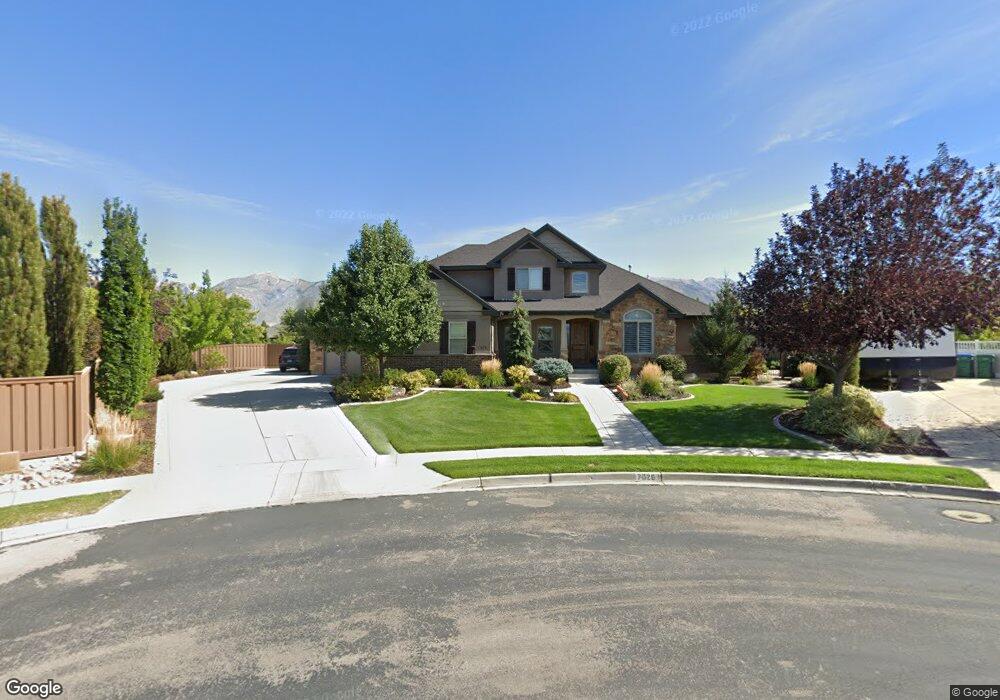
7026 W Iverson Cir Highland, UT 84003
Estimated Value: $1,824,562 - $2,046,000
4
Beds
7
Baths
4,364
Sq Ft
$447/Sq Ft
Est. Value
About This Home
This home is located at 7026 W Iverson Cir, Highland, UT 84003 and is currently estimated at $1,950,187, approximately $446 per square foot. 7026 W Iverson Cir is a home with nearby schools including Freedom Elementary School, Mountain Ridge Junior High School, and Lone Peak High School.
Ownership History
Date
Name
Owned For
Owner Type
Purchase Details
Closed on
Apr 7, 2011
Sold by
Highland Creek Hollows Llc
Bought by
White Jeremy J and White Sara H
Current Estimated Value
Home Financials for this Owner
Home Financials are based on the most recent Mortgage that was taken out on this home.
Original Mortgage
$495,000
Outstanding Balance
$340,754
Interest Rate
4.83%
Mortgage Type
Construction
Estimated Equity
$1,609,433
Create a Home Valuation Report for This Property
The Home Valuation Report is an in-depth analysis detailing your home's value as well as a comparison with similar homes in the area
Home Values in the Area
Average Home Value in this Area
Purchase History
| Date | Buyer | Sale Price | Title Company |
|---|---|---|---|
| White Jeremy J | -- | Affiliated First Title Comp |
Source: Public Records
Mortgage History
| Date | Status | Borrower | Loan Amount |
|---|---|---|---|
| Open | White Jeremy J | $495,000 |
Source: Public Records
Tax History Compared to Growth
Tax History
| Year | Tax Paid | Tax Assessment Tax Assessment Total Assessment is a certain percentage of the fair market value that is determined by local assessors to be the total taxable value of land and additions on the property. | Land | Improvement |
|---|---|---|---|---|
| 2025 | $5,099 | $1,136,850 | $594,800 | $1,472,200 |
| 2024 | $5,099 | $629,805 | $0 | $0 |
| 2023 | $4,843 | $645,260 | $0 | $0 |
| 2022 | $5,461 | $705,540 | $0 | $0 |
| 2021 | $4,643 | $893,500 | $317,500 | $576,000 |
| 2020 | $4,426 | $835,300 | $276,100 | $559,200 |
| 2019 | $3,759 | $742,100 | $276,100 | $466,000 |
| 2018 | $3,609 | $677,200 | $258,300 | $418,900 |
| 2017 | $3,370 | $337,535 | $0 | $0 |
| 2016 | $3,388 | $317,075 | $0 | $0 |
| 2015 | $3,347 | $296,890 | $0 | $0 |
| 2014 | $3,516 | $309,155 | $0 | $0 |
Source: Public Records
Map
Nearby Homes
- 975 E 2850 N
- 1602 E Center Pointe Dr
- 1602 E Center Pointe Dr Unit 1
- 1610 E Center Pointe Dr
- 975 E 2125 N
- 2208 N 825 E
- 859 E 2125 N
- 9967 N 6670 W
- 2752 N 600 E
- 9924 N 6630 W Unit 9
- 10434 N 6400 W
- 6373 W 10500 N
- 6399 W 10150 N
- 6372 W 10400 N
- 6692 W 9770 N
- 3368 N 700 E
- 629 E 3420 N
- 565 E 3375 N
- 2539 N 300 E
- 192 E 2200 N
- 7029 W Iverson Cir Unit 104
- 7038 Iverson Cir Unit 106
- 10458 N Iverson Ln
- 10466 N Iverson Ln
- 10431 Canterbury Dr
- 7033 W Iverson Cir
- 10445 Canterbury Dr
- 10415 Canterbury Dr
- 10438 Iverson Ln
- 10438 N Iverson Ln
- 10461 Canterbury Dr
- 10461 Canterbury Dr
- 10461 N Canterbury Dr
- 10482 N Iverson Ln Unit 302
- 10482 N Iverson Ln
- 2586 N 1450 E
- 10418 N Iverson Ln Unit 101
- 2587 N 1450 E
- 10471 N Iverson Ln
- 10457 N Iverson Ln