70260 Mustang Dr Sisters, OR 97759
Estimated Value: $788,128 - $1,003,000
--
Bed
--
Bath
1,623
Sq Ft
$533/Sq Ft
Est. Value
About This Home
This home is located at 70260 Mustang Dr, Sisters, OR 97759 and is currently estimated at $864,532, approximately $532 per square foot. 70260 Mustang Dr is a home located in Deschutes County with nearby schools including Sisters Elementary School, Sisters Middle School, and Sisters High School.
Ownership History
Date
Name
Owned For
Owner Type
Purchase Details
Closed on
Sep 17, 2025
Sold by
Minke Scott
Bought by
Douglas Scott Minke Trust and Minke
Current Estimated Value
Purchase Details
Closed on
Oct 28, 2019
Sold by
Cmelik Mike J
Bought by
Minke Scott
Purchase Details
Closed on
Aug 9, 2017
Sold by
Cmelik Karen L
Bought by
Cmelik Mike J
Purchase Details
Closed on
Apr 12, 2016
Sold by
Livi Remund Ronald David
Bought by
Cmelik Mike J and Cmelik Karen L
Home Financials for this Owner
Home Financials are based on the most recent Mortgage that was taken out on this home.
Original Mortgage
$75,000
Interest Rate
3.64%
Mortgage Type
Seller Take Back
Create a Home Valuation Report for This Property
The Home Valuation Report is an in-depth analysis detailing your home's value as well as a comparison with similar homes in the area
Home Values in the Area
Average Home Value in this Area
Purchase History
| Date | Buyer | Sale Price | Title Company |
|---|---|---|---|
| Douglas Scott Minke Trust | -- | None Listed On Document | |
| Minke Scott | $145,000 | First American Title | |
| Cmelik Mike J | -- | None Available | |
| Cmelik Mike J | $145,000 | Western Title & Escrow |
Source: Public Records
Mortgage History
| Date | Status | Borrower | Loan Amount |
|---|---|---|---|
| Previous Owner | Cmelik Mike J | $75,000 |
Source: Public Records
Tax History Compared to Growth
Tax History
| Year | Tax Paid | Tax Assessment Tax Assessment Total Assessment is a certain percentage of the fair market value that is determined by local assessors to be the total taxable value of land and additions on the property. | Land | Improvement |
|---|---|---|---|---|
| 2025 | $4,696 | $298,650 | -- | -- |
| 2024 | $4,551 | $289,960 | -- | -- |
| 2023 | $4,423 | $281,520 | $0 | $0 |
| 2022 | $4,079 | $265,370 | $0 | $0 |
| 2021 | $4,102 | $111,540 | $0 | $0 |
| 2020 | $1,351 | $111,540 | $0 | $0 |
| 2019 | $1,320 | $108,300 | $0 | $0 |
| 2018 | $1,285 | $105,150 | $0 | $0 |
| 2017 | $1,236 | $102,090 | $0 | $0 |
| 2016 | $1,223 | $99,120 | $0 | $0 |
| 2015 | $838 | $74,000 | $0 | $0 |
| 2014 | $838 | $74,000 | $0 | $0 |
Source: Public Records
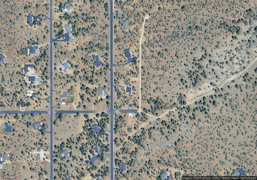
Map
Nearby Homes
- 17400 Spur Dr
- 70120 Mustang Dr
- 70266 Sorrell Dr
- 70325 Club Rd
- 70129 Cayuse Dr
- 70127 Appaloosa Dr
- 17720 Mountain View Rd
- 16966 Canyon Crest Dr
- 16630 Wilt Rd
- 17945 Mountain View Rd
- 69580 Pine Ridge Dr
- 69482 Panoramic Dr
- 16465 Suntree Ln
- 69150 Butcher Block Blvd
- 18495 Crawford Trail
- 17785 Wilt Rd
- 18589 Mcswain Dr
- 69019 Holmes Rd
- 69960 Camp Polk Rd
- 16923 Royal Coachman Dr
- 1000 Mustang Dr
- 900 Mustang Dr
- 1500 Mustang Dr
- 70290 Mustang Dr
- 1100 Mustang Dr
- 1600 Mustang Dr
- 17383 Spur Dr
- 1400 Mustang Dr
- 70285 Mustang Dr
- 70235 Mustang Dr
- 70278 Longhorn Dr
- 70288 Longhorn Dr
- 70315 Mustang Dr
- 70320 Mustang Dr
- 1700 Mustang Dr
- 1300 Mustang Dr
- 70238 Longhorn Dr
- 70211 Mustang Dr
- 70208 Mustang Dr
- 70208 Longhorn Dr