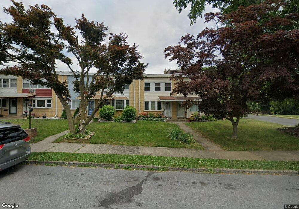
703 Mohawk St Allentown, PA 18103
Southside NeighborhoodEstimated Value: $235,000 - $245,000
3
Beds
2
Baths
1,402
Sq Ft
$171/Sq Ft
Est. Value
About This Home
This home is located at 703 Mohawk St, Allentown, PA 18103 and is currently estimated at $239,541, approximately $170 per square foot. 703 Mohawk St is a home located in Lehigh County with nearby schools including Hiram W Dodd Elementary School, South Mountain Middle School, and William Allen High School.
Ownership History
Date
Name
Owned For
Owner Type
Purchase Details
Closed on
Apr 30, 1997
Sold by
Claudio Wilfredo F and Migdalia Reyes
Bought by
Acance Jesulito P and Reppert Vilma B
Current Estimated Value
Purchase Details
Closed on
Dec 23, 1991
Sold by
Roper Ronnalie J
Bought by
Claudio Wilfredo F and Migdalia Reyes
Purchase Details
Closed on
Jun 27, 1985
Sold by
Mansfield Frederick J and Mansfield Marilyn E
Bought by
Roper Ronnalie J
Purchase Details
Closed on
Oct 10, 1980
Bought by
Mansfield Frederick J and Mansfield Marilyn E
Create a Home Valuation Report for This Property
The Home Valuation Report is an in-depth analysis detailing your home's value as well as a comparison with similar homes in the area
Home Values in the Area
Average Home Value in this Area
Purchase History
| Date | Buyer | Sale Price | Title Company |
|---|---|---|---|
| Acance Jesulito P | $58,000 | -- | |
| Claudio Wilfredo F | $62,000 | -- | |
| Roper Ronnalie J | $38,000 | -- | |
| Mansfield Frederick J | $35,000 | -- |
Source: Public Records
Tax History
| Year | Tax Paid | Tax Assessment Tax Assessment Total Assessment is a certain percentage of the fair market value that is determined by local assessors to be the total taxable value of land and additions on the property. | Land | Improvement |
|---|---|---|---|---|
| 2026 | $3,024 | $92,200 | $8,100 | $84,100 |
| 2025 | $3,001 | $92,200 | $8,100 | $84,100 |
| 2024 | $3,001 | $92,200 | $8,100 | $84,100 |
| 2023 | $3,001 | $92,200 | $8,100 | $84,100 |
| 2022 | $2,896 | $92,200 | $84,100 | $8,100 |
| 2021 | $2,839 | $92,200 | $8,100 | $84,100 |
| 2020 | $2,765 | $92,200 | $8,100 | $84,100 |
| 2019 | $2,720 | $92,200 | $8,100 | $84,100 |
| 2018 | $2,538 | $92,200 | $8,100 | $84,100 |
| 2017 | $2,474 | $92,200 | $8,100 | $84,100 |
| 2016 | -- | $92,200 | $8,100 | $84,100 |
| 2015 | -- | $92,200 | $8,100 | $84,100 |
| 2014 | -- | $92,200 | $8,100 | $84,100 |
Source: Public Records
Map
Nearby Homes
- 1936 S 6th St
- 566 W Emaus Ave
- 566 588 W Emaus Ave
- 2208 S 9th St
- 2329 S Law St Unit 2331
- 2413 S Church St
- 1905 S 3rd St
- 210 W Wabash St
- 2328 S 4th St
- 1342 S Howard St
- 135 W Wabash St
- 134 W Montgomery St
- 2376 S Fountain St
- 828 W Ethel St
- 1875-1879 S Wood St
- 2463 S Lumber St
- 2341 S 3rd St
- 2212 S Melrose St
- 2169 S Poplar St
- 2440 S Fountain St
Your Personal Tour Guide
Ask me questions while you tour the home.