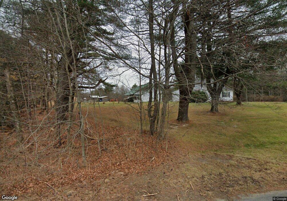
703 Old Portland Rd Brunswick, ME 04011
Estimated Value: $457,990 - $547,000
2
Beds
1
Bath
1,688
Sq Ft
$296/Sq Ft
Est. Value
About This Home
This home is located at 703 Old Portland Rd, Brunswick, ME 04011 and is currently estimated at $499,498, approximately $295 per square foot. 703 Old Portland Rd is a home located in Cumberland County with nearby schools including Priest Elementary-Middle School, Kate Furbish Elementary School, and Brunswick Jr High School.
Ownership History
Date
Name
Owned For
Owner Type
Purchase Details
Closed on
Jul 19, 2013
Sold by
Giles David E
Bought by
Giles David E and Giles Linda
Current Estimated Value
Home Financials for this Owner
Home Financials are based on the most recent Mortgage that was taken out on this home.
Original Mortgage
$115,700
Interest Rate
3.92%
Mortgage Type
New Conventional
Create a Home Valuation Report for This Property
The Home Valuation Report is an in-depth analysis detailing your home's value as well as a comparison with similar homes in the area
Home Values in the Area
Average Home Value in this Area
Purchase History
| Date | Buyer | Sale Price | Title Company |
|---|---|---|---|
| Giles David E | -- | -- |
Source: Public Records
Mortgage History
| Date | Status | Borrower | Loan Amount |
|---|---|---|---|
| Closed | Giles David E | $115,700 |
Source: Public Records
Tax History Compared to Growth
Tax History
| Year | Tax Paid | Tax Assessment Tax Assessment Total Assessment is a certain percentage of the fair market value that is determined by local assessors to be the total taxable value of land and additions on the property. | Land | Improvement |
|---|---|---|---|---|
| 2024 | $5,633 | $236,200 | $89,000 | $147,200 |
| 2023 | $5,501 | $236,200 | $89,000 | $147,200 |
| 2022 | $5,047 | $232,700 | $89,000 | $143,700 |
| 2021 | $4,240 | $232,700 | $89,000 | $143,700 |
| 2020 | $4,140 | $232,700 | $89,000 | $143,700 |
| 2019 | $4,589 | $232,700 | $89,000 | $143,700 |
| 2018 | $1,922 | $232,700 | $89,000 | $143,700 |
| 2017 | $1,867 | $227,400 | $89,000 | $138,400 |
| 2016 | $3,105 | $105,800 | $31,800 | $74,000 |
| 2015 | $3,000 | $105,800 | $31,800 | $74,000 |
| 2014 | $2,592 | $105,800 | $31,800 | $74,000 |
| 2013 | -- | $105,800 | $31,800 | $74,000 |
Source: Public Records
Map
Nearby Homes
- 1595 U S Route 1
- 31 Allen Range Rd
- 0 Prout Rd
- 3 Ron Henry Ln
- 42A Wardtown Rd
- 1260 Us Route 1
- 15 Tinkers Way
- 32 Grant Rd
- Lot 5 Crossman Dr
- Lot 8 Crossman Dr
- 143 Bragdon Rd
- 12 Peter Robin Way
- 144 Moody Rd
- 42 Greystone Ln
- 42 Greystone Ln
- 137 Durham Rd
- 46 Casco Rd
- 8 Statler Ln
- 5 Round Hill Ln
- 11 Orchard Hill Rd
- Lot 1 Sunrise Place
- 0 Unknown Unit 1448939
- 0 Unknown Unit 1246802
- 0 Unknown Unit 1245752
- 0 Unknown Unit 1441305
- 14 Sunrise Place
- 690 Old Portland Rd
- 720 Old Portland Rd
- 720 Old Portland Rd
- 720 Old Portland Rd
- 720 Old Portland Rd
- 23 Sunrise Place
- 1576 Old Portland Rd
- 1105 Old Portland Rd
- Lot 5 Sunrise Place
- 1615 Us Route 1
- 29 Sunrise Place
- Lot 3 TBB Sunrise Place
- Lot 1 Map 18 Lot 16a Route 1 N
- Lot 3 Sunrise Place