703 Red Bridge Rd Ellsworth, ME 04605
Estimated Value: $352,232 - $413,000
--
Bed
--
Bath
--
Sq Ft
3.8
Acres
About This Home
This home is located at 703 Red Bridge Rd, Ellsworth, ME 04605 and is currently estimated at $378,308. 703 Red Bridge Rd is a home located in Hancock County with nearby schools including Sumner Memorial High School.
Ownership History
Date
Name
Owned For
Owner Type
Purchase Details
Closed on
Jun 5, 2007
Sold by
Union Tco
Bought by
Urquhart Perley A and Urquhart Theodora D
Current Estimated Value
Home Financials for this Owner
Home Financials are based on the most recent Mortgage that was taken out on this home.
Original Mortgage
$146,500
Outstanding Balance
$91,137
Interest Rate
6.5%
Mortgage Type
Unknown
Estimated Equity
$287,171
Create a Home Valuation Report for This Property
The Home Valuation Report is an in-depth analysis detailing your home's value as well as a comparison with similar homes in the area
Home Values in the Area
Average Home Value in this Area
Purchase History
| Date | Buyer | Sale Price | Title Company |
|---|---|---|---|
| Urquhart Perley A | -- | -- |
Source: Public Records
Mortgage History
| Date | Status | Borrower | Loan Amount |
|---|---|---|---|
| Open | Urquhart Perley A | $146,500 |
Source: Public Records
Tax History Compared to Growth
Tax History
| Year | Tax Paid | Tax Assessment Tax Assessment Total Assessment is a certain percentage of the fair market value that is determined by local assessors to be the total taxable value of land and additions on the property. | Land | Improvement |
|---|---|---|---|---|
| 2024 | $4,613 | $264,375 | $38,500 | $225,875 |
| 2023 | $4,115 | $237,840 | $36,960 | $200,880 |
| 2022 | $3,734 | $237,840 | $36,960 | $200,880 |
| 2021 | $3,328 | $184,600 | $30,800 | $153,800 |
| 2020 | $3,446 | $183,600 | $30,800 | $152,800 |
| 2019 | $3,454 | $183,600 | $30,800 | $152,800 |
| 2018 | $3,349 | $183,600 | $30,800 | $152,800 |
| 2017 | $3,274 | $182,200 | $30,800 | $151,400 |
| 2016 | $3,340 | $188,900 | $33,800 | $155,100 |
| 2015 | $3,344 | $188,900 | $33,800 | $155,100 |
| 2014 | $3,107 | $188,900 | $33,800 | $155,100 |
| 2012 | $3,039 | $196,700 | $33,800 | $162,900 |
Source: Public Records
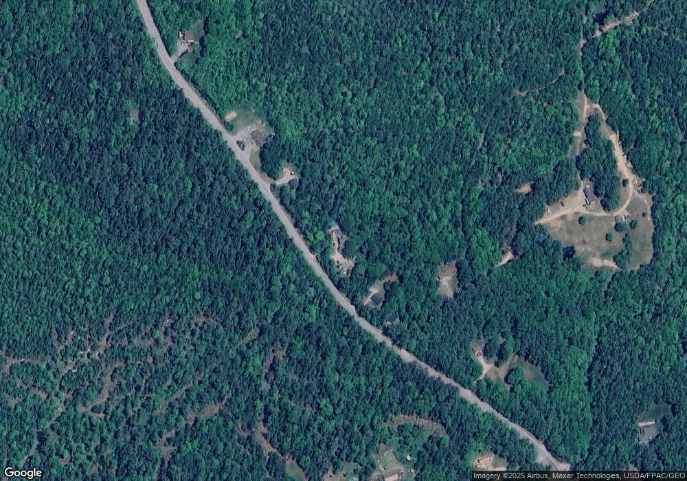
Map
Nearby Homes
- 0 Bangor Rd
- 498 Bangor Rd
- 928 Red Bridge Rd
- 428 Bangor Rd
- 403 Bangor Rd
- 931 Bangor Rd
- 0 Boggy Brook Rd Unit 1619468
- 1101
- 198 Bangor Rd
- 370 Christian Ridge Rd
- 664 Bucksport Rd
- 75 Bridgetwin Rd
- 38 Travis Ct
- 00 Bucksport Rd
- Lot #1 Bucksport Rd
- Lot 9 Foggy Ridge Way
- Lot 5 Foggy Ridge Way
- 1 Eagle Island
- 34 Eagle Rd
- Lot 1-7 Manhattan Way
- 14 Alder Brook Way
- 699 Red Bridge Rd
- 705 Red Bridge Rd
- 711 Red Bridge Rd
- 663 Red Bridge Rd
- 656 Red Bridge Rd
- 39 Alder Brook Way
- 737 Red Bridge Rd
- 12 Vinegar Hill Way
- 21 Vinegar Hill Way
- 765 Red Bridge Rd
- 630 Red Bridge Rd
- 775 Red Bridge Rd
- Lot 15 Red Bridge Rd
- 785 Red Bridge Rd
- 596 Red Bridge Rd
- 783 Red Bridge Rd
- 593 Red Bridge Rd
- 41 Mill Dam Rd
- 551 Red Bridge Rd