7031 State Highway 66 Platteville, CO 80651
Estimated Value: $671,682 - $1,021,000
3
Beds
2
Baths
1,948
Sq Ft
$423/Sq Ft
Est. Value
About This Home
This home is located at 7031 State Highway 66, Platteville, CO 80651 and is currently estimated at $824,421, approximately $423 per square foot. 7031 State Highway 66 is a home located in Weld County with nearby schools including Mead Elementary School, Mead Middle School, and Mead High School.
Ownership History
Date
Name
Owned For
Owner Type
Purchase Details
Closed on
Aug 14, 2024
Sold by
Salazar Rachel and Salazar John
Bought by
Salazar And Sons Llc
Current Estimated Value
Purchase Details
Closed on
Feb 26, 2009
Sold by
Salazar John and Salazar Jacob
Bought by
Salazar Pete and Salazar Rosalie
Purchase Details
Closed on
Sep 26, 1975
Sold by
Re-185
Bought by
Re-185
Create a Home Valuation Report for This Property
The Home Valuation Report is an in-depth analysis detailing your home's value as well as a comparison with similar homes in the area
Home Values in the Area
Average Home Value in this Area
Purchase History
| Date | Buyer | Sale Price | Title Company |
|---|---|---|---|
| Salazar And Sons Llc | -- | None Listed On Document | |
| Salazar And Sons Llc | -- | None Listed On Document | |
| Salazar Pete | -- | None Available | |
| Re-185 | -- | -- |
Source: Public Records
Tax History Compared to Growth
Tax History
| Year | Tax Paid | Tax Assessment Tax Assessment Total Assessment is a certain percentage of the fair market value that is determined by local assessors to be the total taxable value of land and additions on the property. | Land | Improvement |
|---|---|---|---|---|
| 2025 | $3,008 | $47,960 | $13,150 | $34,810 |
| 2024 | $3,008 | $47,960 | $13,150 | $34,810 |
| 2023 | $2,886 | $42,470 | $13,030 | $29,440 |
| 2022 | $3,238 | $40,940 | $12,300 | $28,640 |
| 2021 | $3,297 | $42,120 | $12,650 | $29,470 |
| 2020 | $3,417 | $43,730 | $12,290 | $31,440 |
| 2019 | $3,410 | $43,730 | $12,290 | $31,440 |
| 2018 | $2,828 | $37,910 | $10,250 | $27,660 |
| 2017 | $2,713 | $37,910 | $10,250 | $27,660 |
| 2016 | $2,098 | $31,540 | $8,430 | $23,110 |
| 2015 | $2,709 | $31,540 | $8,430 | $23,110 |
| 2014 | $1,926 | $19,130 | $7,910 | $11,220 |
Source: Public Records
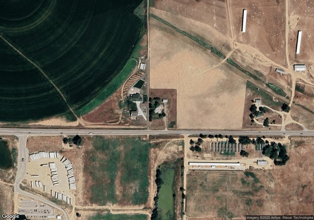
Map
Nearby Homes
- Powell | Residence 39206 Plan at Red Barn Meadows
- Cimarron | Residence 39102 Plan at Red Barn Meadows
- Ontario | Residence 39205 Plan at Red Barn Meadows
- Marion | Residence 39208 Plan at Red Barn Meadows
- Livingston | Residence 39103 Plan at Red Barn Meadows
- Tahoe | Residence 39209 Plan at Red Barn Meadows
- 5830 Farmstead Place
- 5881 Red Barn Ave
- 5816 Farmstead Place
- 5900 Sunrise Place
- 5806 Farmstead Place
- 14424 Heritage Dr
- 14450 Heritage Dr
- 14462 Heritage Dr
- 14476 Heritage Dr
- 14398 Ranch St
- 14406 Ranch St
- 14420 Ranch St
- 14434 Ranch St
- 5901 Aspenglow St
- 7239 State Highway 66
- 7391 State Highway 66
- 7391 State Highway 66
- 6462 State Highway 66
- 0 Hwy 66 Unit 718329
- 0 County Road 17
- 6462 Colorado 66
- 226 Grand View Cir
- 230 Grand View Cir
- 222 Grand View Cir
- 228 Grand View Cir
- 6599 State Highway 66
- 221 Grand View Cir
- 219 Grand View Cir
- 218 Grand View Cir
- 217 Grand View Cir
- 216 Grand View Cir
- 302 Grand View Ln
- 304 Grand View Ln
- 6405 State Highway 66