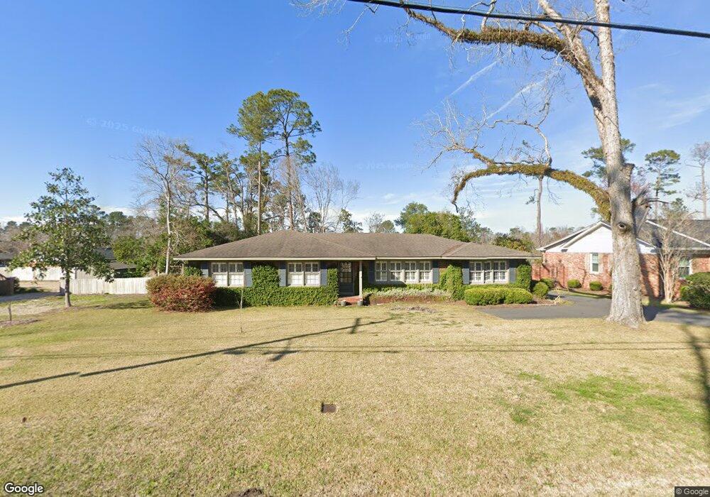
704 Gornto Rd Valdosta, GA 31602
Estimated Value: $246,000 - $285,000
3
Beds
2
Baths
1,862
Sq Ft
$143/Sq Ft
Est. Value
About This Home
This home is located at 704 Gornto Rd, Valdosta, GA 31602 and is currently estimated at $265,736, approximately $142 per square foot. 704 Gornto Rd is a home located in Lowndes County with nearby schools including S.L. Mason Elementary School, Valdosta Middle School, and Valdosta High School.
Ownership History
Date
Name
Owned For
Owner Type
Purchase Details
Closed on
Jun 11, 2019
Sold by
Garner Linda Michelle
Bought by
Garner Jason
Current Estimated Value
Purchase Details
Closed on
Mar 16, 1998
Bought by
Garner R Jason
Purchase Details
Closed on
Nov 4, 1997
Bought by
Smart James Thomas
Purchase Details
Closed on
Oct 21, 1976
Bought by
Smith Terrell J
Purchase Details
Closed on
Oct 6, 1975
Bought by
Barfield H M Inc
Purchase Details
Closed on
Sep 29, 1975
Bought by
Barfield H M
Purchase Details
Closed on
Oct 29, 1970
Bought by
Studstill Irene B
Purchase Details
Closed on
Oct 16, 1963
Bought by
John Sweath Construction
Create a Home Valuation Report for This Property
The Home Valuation Report is an in-depth analysis detailing your home's value as well as a comparison with similar homes in the area
Home Values in the Area
Average Home Value in this Area
Purchase History
| Date | Buyer | Sale Price | Title Company |
|---|---|---|---|
| Garner Jason | -- | -- | |
| Garner R Jason | $115,900 | -- | |
| Smart James Thomas | $107,000 | -- | |
| Smith Terrell J | $39,500 | -- | |
| Barfield H M Inc | -- | -- | |
| Barfield H M | $27,800 | -- | |
| Studstill Irene B | -- | -- | |
| John Sweath Construction | -- | -- |
Source: Public Records
Tax History Compared to Growth
Tax History
| Year | Tax Paid | Tax Assessment Tax Assessment Total Assessment is a certain percentage of the fair market value that is determined by local assessors to be the total taxable value of land and additions on the property. | Land | Improvement |
|---|---|---|---|---|
| 2024 | $2,611 | $99,487 | $10,000 | $89,487 |
| 2023 | $2,611 | $84,146 | $10,000 | $74,146 |
| 2022 | $1,710 | $56,606 | $10,000 | $46,606 |
| 2021 | $1,760 | $56,606 | $10,000 | $46,606 |
| 2020 | $1,797 | $56,606 | $10,000 | $46,606 |
| 2019 | $1,796 | $56,606 | $10,000 | $46,606 |
| 2018 | $1,820 | $56,606 | $10,000 | $46,606 |
| 2017 | $1,935 | $59,447 | $10,000 | $49,447 |
| 2016 | $1,932 | $59,447 | $10,000 | $49,447 |
| 2015 | $1,774 | $59,447 | $10,000 | $49,447 |
| 2014 | $1,804 | $59,447 | $10,000 | $49,447 |
Source: Public Records
Map
Nearby Homes
- 604 Azalea Cir
- 1 Fox Hollow Cir
- 2325 White Oak Dr
- 68 Pineridge Dr
- 2112 Azalea Dr
- 805 Millpond Rd
- 903 Gornto Rd
- 908 Maplewood Dr
- 333 Canna Dr
- 2206 White Oak Dr
- 1104 Linda Dr
- 315 Canna Dr
- 1909 Azalea Dr
- 2502B Jerry Jones Dr Unit 1
- 309 W Park Ave
- 2208 N Oak St
- 2217 Brighton Place
- 1108 Kimberly Dr
- 2424 Westwood Dr
- 2503 N Oak St
- 702 Gornto Rd
- 706 Gornto Rd
- 2403 Berkley Dr
- 2404 Georgia Ave
- 700 Gornto Rd
- 2405 Berkley Dr
- 705 Gornto Rd
- 2406 Georgia Ave
- 703 Gornto Rd
- 2400 Berkley Dr
- 2402 Berkley Dr
- 2407 Berkley Dr
- 709 Gornto Rd
- 610 Mack Dr
- 2301 Azalea Dr
- 2404 Berkley Dr
- 701 Gornto Rd
- 2408 Georgia Ave
- 608 Gornto Rd
- 2406 Berkley Dr