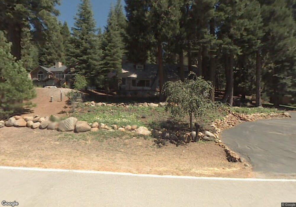
704 W Mountain Ridge Rd Westwood, CA 96137
Estimated Value: $607,000 - $762,000
3
Beds
2
Baths
1,448
Sq Ft
$450/Sq Ft
Est. Value
About This Home
This home is located at 704 W Mountain Ridge Rd, Westwood, CA 96137 and is currently estimated at $652,299, approximately $450 per square foot. 704 W Mountain Ridge Rd is a home located in Plumas County with nearby schools including Lake Almanor Christian School.
Ownership History
Date
Name
Owned For
Owner Type
Purchase Details
Closed on
Oct 21, 2021
Sold by
Phillips Robert Charles and Phillips Dorothy Sue
Bought by
Kozy Anthony J and Kozy Beverly A
Current Estimated Value
Home Financials for this Owner
Home Financials are based on the most recent Mortgage that was taken out on this home.
Original Mortgage
$60,000
Outstanding Balance
$54,714
Interest Rate
2.8%
Mortgage Type
Seller Take Back
Estimated Equity
$597,585
Purchase Details
Closed on
Sep 27, 2018
Sold by
Kozy Everly A and Kozy Beverly J
Bought by
Kozy Beverly A
Home Financials for this Owner
Home Financials are based on the most recent Mortgage that was taken out on this home.
Original Mortgage
$196,000
Interest Rate
4.5%
Mortgage Type
Commercial
Purchase Details
Closed on
May 19, 2004
Sold by
Ahrens Beryl
Bought by
Kozy Beverly J
Create a Home Valuation Report for This Property
The Home Valuation Report is an in-depth analysis detailing your home's value as well as a comparison with similar homes in the area
Home Values in the Area
Average Home Value in this Area
Purchase History
| Date | Buyer | Sale Price | Title Company |
|---|---|---|---|
| Kozy Anthony J | $110,000 | Chicago Title Company | |
| Kozy Beverly A | -- | None Available | |
| Kozy Beverly J | -- | Chicago Title Co |
Source: Public Records
Mortgage History
| Date | Status | Borrower | Loan Amount |
|---|---|---|---|
| Open | Kozy Anthony J | $60,000 | |
| Previous Owner | Kozy Beverly A | $196,000 |
Source: Public Records
Tax History Compared to Growth
Tax History
| Year | Tax Paid | Tax Assessment Tax Assessment Total Assessment is a certain percentage of the fair market value that is determined by local assessors to be the total taxable value of land and additions on the property. | Land | Improvement |
|---|---|---|---|---|
| 2025 | $8,653 | $727,531 | $105,948 | $621,583 |
| 2023 | $8,653 | $699,283 | $101,835 | $597,448 |
| 2022 | $3,184 | $252,623 | $56,209 | $196,414 |
| 2021 | $3,008 | $252,623 | $56,209 | $196,414 |
| 2020 | $2,962 | $240,209 | $56,209 | $184,000 |
| 2019 | $1,667 | $123,687 | $56,209 | $67,478 |
| 2018 | $1,613 | $121,722 | $56,209 | $65,513 |
| 2017 | $1,599 | $118,712 | $55,107 | $63,605 |
| 2016 | $1,482 | $115,255 | $53,502 | $61,753 |
| 2015 | $1,465 | $113,457 | $53,502 | $59,955 |
| 2014 | $1,467 | $113,457 | $53,502 | $59,955 |
Source: Public Records
Map
Nearby Homes
- 788 Lassen View Dr
- 612 W Mountain Ridge Rd Unit 612 W Mountain Ridge
- 623 W Mountain Ridge Rd
- 644 W Burnt Cedar Rd
- 717 Conifer Trail
- 777 Lassen View Dr
- 642 W Burnt Cedar Rd
- 731 Conifer Trail
- 723 Clifford Dr
- 702 Conifer Trail
- 615 Clifford Trail
- 619 Clifford Trail
- 817 Lassen View Dr
- 671 E Mountain Ridge Rd
- 700 E Mountain Ridge Rd
- 615 E Mountain Ridge Rd
- 673 E Mountain Ridge Rd
- 727 E Mountain Ridge Rd
- 767 Lassen View Dr
- 821 Lassen View Dr
- 706 W Mountain Ridge Rd
- 702 W Mountain Ridge Rd
- 661 W Burnt Cedar Rd
- 659 W Burnt Cedar Rd
- 710 W Mountain Ridge Rd
- 663 W Burnt Cedar Rd
- 709 W Mountain Ridge Rd
- 657 W Burnt Cedar Rd
- 707 E Mountain Ridge Rd
- 701 W Mountain Ridge Rd
- 712 W Mountain Ridge Rd
- 655 W Burnt Cedar Rd
- 639 W Mountain Ridge Rd
- 716 E Mountain Ridge Rd
- 707 Clifford Dr
- 711 Clifford Dr
- 711 Clifford Dr
- 709 Clifford Dr Unit 20
- 709 Clifford Dr
- 786 Lassen View Dr