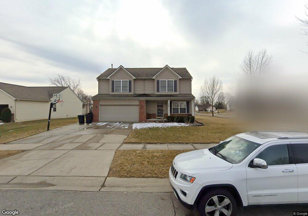
704 Wilberforce Dr Flint, MI 48503
Downtown Flint NeighborhoodEstimated Value: $181,000 - $234,000
3
Beds
4
Baths
2,064
Sq Ft
$103/Sq Ft
Est. Value
About This Home
This home is located at 704 Wilberforce Dr, Flint, MI 48503 and is currently estimated at $212,829, approximately $103 per square foot. 704 Wilberforce Dr is a home located in Genesee County with nearby schools including Doyle/Ryder School, Flint Cultural Center Academy, and WAY Academy of Flint.
Ownership History
Date
Name
Owned For
Owner Type
Purchase Details
Closed on
Sep 15, 2005
Sold by
Walker John E
Bought by
Walker John E and Walker Nicole
Current Estimated Value
Home Financials for this Owner
Home Financials are based on the most recent Mortgage that was taken out on this home.
Original Mortgage
$152,650
Interest Rate
6.37%
Mortgage Type
Stand Alone First
Purchase Details
Closed on
May 17, 2005
Sold by
City Of Flint
Bought by
Charter Oak Homes Inc
Create a Home Valuation Report for This Property
The Home Valuation Report is an in-depth analysis detailing your home's value as well as a comparison with similar homes in the area
Home Values in the Area
Average Home Value in this Area
Purchase History
| Date | Buyer | Sale Price | Title Company |
|---|---|---|---|
| Walker John E | -- | -- | |
| Walker John E | $190,835 | Title One Inc | |
| Charter Oak Homes Inc | -- | -- |
Source: Public Records
Mortgage History
| Date | Status | Borrower | Loan Amount |
|---|---|---|---|
| Previous Owner | Walker John E | $152,650 |
Source: Public Records
Tax History Compared to Growth
Tax History
| Year | Tax Paid | Tax Assessment Tax Assessment Total Assessment is a certain percentage of the fair market value that is determined by local assessors to be the total taxable value of land and additions on the property. | Land | Improvement |
|---|---|---|---|---|
| 2025 | $2,994 | $104,600 | $0 | $0 |
| 2024 | $2,642 | $94,600 | $0 | $0 |
| 2023 | $2,555 | $89,200 | $0 | $0 |
| 2022 | $0 | $77,900 | $0 | $0 |
| 2021 | $2,703 | $75,000 | $0 | $0 |
| 2020 | $2,367 | $57,300 | $0 | $0 |
| 2019 | $3,248 | $43,500 | $0 | $0 |
| 2018 | $2,498 | $44,100 | $0 | $0 |
| 2017 | $2,543 | $0 | $0 | $0 |
| 2016 | $2,593 | $0 | $0 | $0 |
| 2015 | -- | $0 | $0 | $0 |
| 2014 | -- | $0 | $0 | $0 |
| 2012 | -- | $50,100 | $0 | $0 |
Source: Public Records
Map
Nearby Homes
- 1706 Wilberforce Cir
- 805 Columbia Dr
- 1303 Root St
- 329 E Wood St
- 235 Page St
- 1016 Garland St
- 1606 Garland St
- 217 W 7th Ave
- 1273 Broadway Blvd
- 1215 Bennett Ave
- 325 W Paterson St
- 218 E Jackson Ave
- 115 W Baker St
- 317 W Witherbee St
- 1379 Washington Ave
- 416 W 2nd Ave Unit 4
- 1645 Seminole St
- 407 W 2nd Ave
- 1445 Kearsley Park Kearsley Park
- 2913
- 705 Spellman Dr
- 712 Wilberforce Dr
- 709 Spellman Dr
- 1609 Marquette Dr
- 1613 Marquette Dr
- 713 Spellman Dr
- 1605 Marquette Dr
- 716 Wilberforce Dr
- 1601 Marquette Dr
- 1701 Marquette Dr
- 717 Spellman Dr
- 720 Wilberforce Dr
- 1705 Marquette Dr
- 709 Wilberforce Ln
- 705 Wilberforce Ln
- 721 Spellman Dr
- 713 Wilberforce Ln
- 714 Spellman Dr
- 701 Wilberforce Ln
- 718 Spellman Dr