Estimated Value: $999,000 - $1,839,675
--
Bed
--
Bath
2,927
Sq Ft
$526/Sq Ft
Est. Value
About This Home
This home is located at 7040 State Highway 128, Napa, CA 94558 and is currently estimated at $1,539,558, approximately $525 per square foot. 7040 State Highway 128 is a home with nearby schools including Vichy Elementary School, Silverado Middle School, and Vintage High School.
Ownership History
Date
Name
Owned For
Owner Type
Purchase Details
Closed on
Jan 17, 2020
Sold by
Pipic Crystal L
Bought by
Pipic Thomas R and Pipic Crystal L
Current Estimated Value
Home Financials for this Owner
Home Financials are based on the most recent Mortgage that was taken out on this home.
Original Mortgage
$500,000
Outstanding Balance
$442,873
Interest Rate
3.73%
Mortgage Type
New Conventional
Estimated Equity
$1,096,685
Purchase Details
Closed on
Jun 12, 2009
Sold by
Anderson Harvey B and Anderson Debra J
Bought by
Pipic Crystal L
Home Financials for this Owner
Home Financials are based on the most recent Mortgage that was taken out on this home.
Original Mortgage
$25,000
Interest Rate
4.82%
Mortgage Type
Seller Take Back
Purchase Details
Closed on
Jun 24, 1997
Sold by
Anderson Harvey and Anderson Deborah
Bought by
Anderson Harvey B and Anderson Debra J
Purchase Details
Closed on
Jul 22, 1992
Sold by
Loban Glen R and Loban Melissa
Bought by
Anderson Harvey and Anderson Deborah
Create a Home Valuation Report for This Property
The Home Valuation Report is an in-depth analysis detailing your home's value as well as a comparison with similar homes in the area
Home Values in the Area
Average Home Value in this Area
Purchase History
| Date | Buyer | Sale Price | Title Company |
|---|---|---|---|
| Pipic Thomas R | -- | Fidelity National Title Co | |
| Pipic Crystal L | $260,000 | First American Title Co Of N | |
| Anderson Harvey B | -- | -- | |
| Anderson Harvey | -- | -- |
Source: Public Records
Mortgage History
| Date | Status | Borrower | Loan Amount |
|---|---|---|---|
| Open | Pipic Thomas R | $500,000 | |
| Closed | Pipic Crystal L | $25,000 |
Source: Public Records
Tax History Compared to Growth
Tax History
| Year | Tax Paid | Tax Assessment Tax Assessment Total Assessment is a certain percentage of the fair market value that is determined by local assessors to be the total taxable value of land and additions on the property. | Land | Improvement |
|---|---|---|---|---|
| 2025 | $10,829 | $1,012,590 | $334,812 | $677,778 |
| 2024 | $10,829 | $992,737 | $328,248 | $664,489 |
| 2023 | $10,829 | $973,272 | $321,812 | $651,460 |
| 2022 | $10,550 | $954,189 | $315,502 | $638,687 |
| 2021 | $10,393 | $935,480 | $309,316 | $626,164 |
| 2020 | $10,312 | $925,889 | $306,145 | $619,744 |
| 2019 | $10,121 | $907,736 | $300,143 | $607,593 |
| 2018 | $10,025 | $889,938 | $294,258 | $595,680 |
| 2017 | $0 | $872,489 | $288,489 | $584,000 |
| 2016 | $5,635 | $491,974 | $282,833 | $209,141 |
| 2015 | -- | $484,585 | $278,585 | $206,000 |
| 2014 | -- | $294,128 | $273,128 | $21,000 |
Source: Public Records
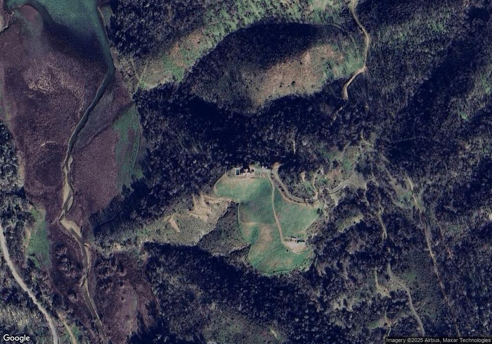
Map
Nearby Homes
- 5400 Wragg Canyon Rd
- 6800 State Highway 128
- 9419 Steele Canyon Rd
- 0 State Highway 128 Unit 24437989
- 0 State Highway 128 Unit 325043226
- 0 State Highway 128 Unit 323047780
- 1123 Headlands Dr
- 1320 Headlands Dr
- 422 Woodhaven Ct
- 1100 Headlands Dr
- 1090 Arroyo Grande Dr
- 1135 Rimrock Dr
- 1049 Eastridge Dr
- 340 Black Oak Ln
- 1042 Arroyo Grande Dr
- 1045 Eastridge Dr
- 1057 Arroyo Grande Dr
- 1050 Arroyo Grande Dr
- 1045 Arroyo Grande Dr
- 1103 Westridge Dr