7041 Darrow Rd Hudson, OH 44236
Estimated Value: $278,000 - $374,000
2
Beds
1
Bath
1,648
Sq Ft
$196/Sq Ft
Est. Value
About This Home
This home is located at 7041 Darrow Rd, Hudson, OH 44236 and is currently estimated at $322,983, approximately $195 per square foot. 7041 Darrow Rd is a home located in Summit County with nearby schools including Ellsworth Hill Elementary School, East Woods Intermediate School, and Hudson Middle School.
Ownership History
Date
Name
Owned For
Owner Type
Purchase Details
Closed on
May 5, 2023
Sold by
Nancy J Sorgi Revocable Trust
Bought by
Nancy J Sorgi Trust
Current Estimated Value
Purchase Details
Closed on
Sep 18, 2019
Sold by
Sorgi Nancy J
Bought by
City Of Hudson
Purchase Details
Closed on
Apr 22, 2004
Sold by
Sorgi Nancy J and Sorgi James A
Bought by
Sorgi Nancy J and The Nancy J Sorgi Revocable Trust
Create a Home Valuation Report for This Property
The Home Valuation Report is an in-depth analysis detailing your home's value as well as a comparison with similar homes in the area
Home Values in the Area
Average Home Value in this Area
Purchase History
| Date | Buyer | Sale Price | Title Company |
|---|---|---|---|
| Nancy J Sorgi Trust | -- | None Listed On Document | |
| Nancy J Sorgi Trust | -- | None Listed On Document | |
| City Of Hudson | $3,580 | None Available | |
| Sorgi Nancy J | -- | Midland Commerce Group | |
| Sorgi Nancy J | -- | Midland Commerce Group |
Source: Public Records
Tax History
| Year | Tax Paid | Tax Assessment Tax Assessment Total Assessment is a certain percentage of the fair market value that is determined by local assessors to be the total taxable value of land and additions on the property. | Land | Improvement |
|---|---|---|---|---|
| 2024 | $3,972 | $76,909 | $18,788 | $58,121 |
| 2023 | $3,972 | $76,909 | $18,788 | $58,121 |
| 2022 | $3,352 | $68,065 | $16,629 | $51,436 |
| 2021 | $3,358 | $68,065 | $16,629 | $51,436 |
| 2020 | $3,298 | $68,070 | $16,630 | $51,440 |
| 2019 | $2,502 | $50,410 | $15,500 | $34,910 |
| 2018 | $2,549 | $50,720 | $15,810 | $34,910 |
| 2017 | $2,311 | $50,720 | $15,810 | $34,910 |
| 2016 | $2,328 | $46,310 | $15,810 | $30,500 |
| 2015 | $2,311 | $46,310 | $15,810 | $30,500 |
| 2014 | $2,318 | $46,310 | $15,810 | $30,500 |
| 2013 | $2,348 | $45,910 | $15,810 | $30,100 |
Source: Public Records
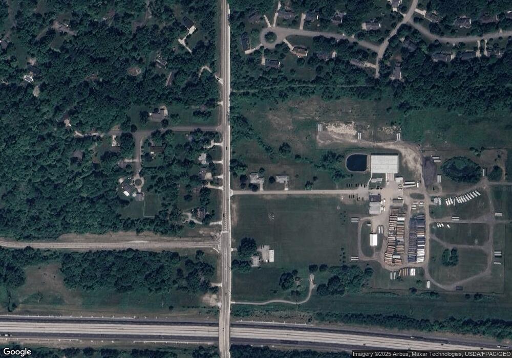
Map
Nearby Homes
- 7350 Herrick Park Dr
- 1998 E Hines Hill Rd
- 24 Morning Song Ln
- 2396 Leeway Dr
- 100 Blackberry Dr
- 2297 Olde Farm Ln
- 503 Cutler Ln
- 179 Elm St
- 43 N Oviatt St
- 7590 Woodland Ave
- 12 N Oviatt St
- 2765 Blue Heron Dr
- 338 Simon Rd
- 213 E Streetsboro St
- 8 Hudson Common Dr Unit 8
- 1440 E Hines Hill Rd
- 42 Fox Trace Ln
- 2795 Stonebridge Ct
- 6740 Pinebrooke Dr
- 171 Ravenna St
- 7565 Highgate Dr
- 1895 Sorgi Ln
- 2000 W Highgate Ct
- 2018 E Highgate Ct
- 6971 Darrow Rd
- 2028 E Highgate Ct
- 1994 W Highgate Ct
- 2038 E Highgate Ct
- 1988 W Highgate Ct
- 1999 W Highgate Ct
- 2048 E Highgate Ct
- 1976 W Highgate Ct
- 2013 E Highgate Ct
- 2023 E Highgate Ct
- 1989 W Highgate Ct
- 7600 Highgate Dr
- 21 Highgate Dr
- 0 Highgate Dr
- 18 Highgate Dr
- 20 Highgate Dr
Your Personal Tour Guide
Ask me questions while you tour the home.