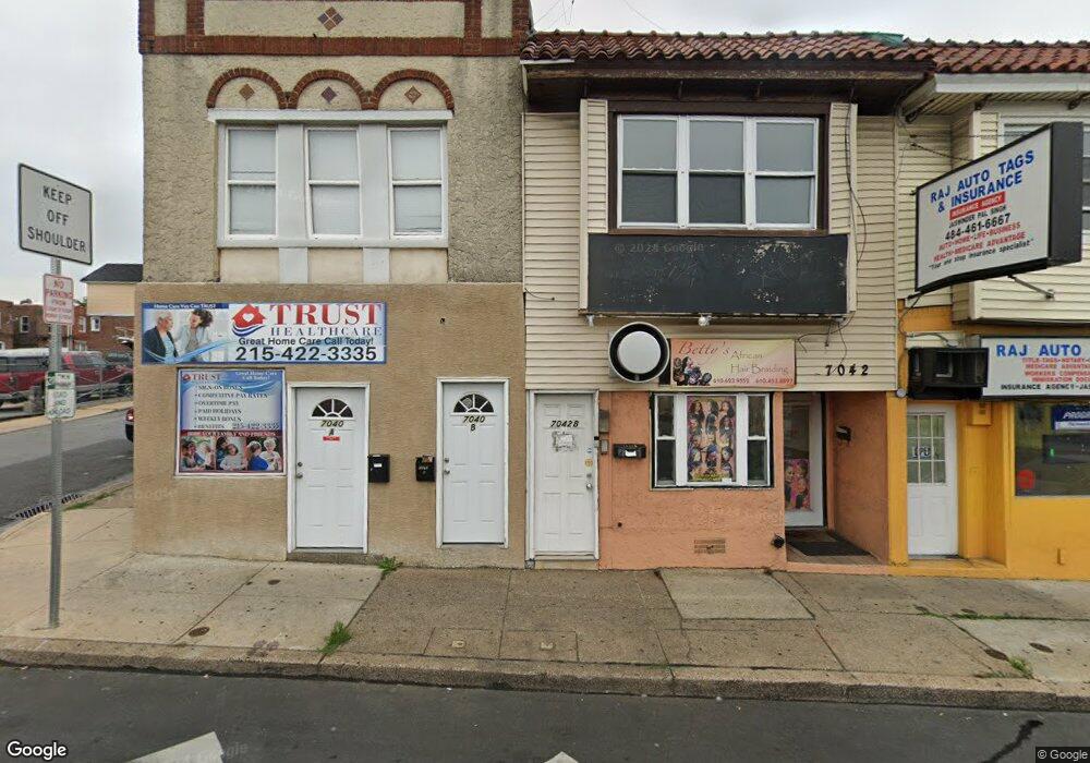
7042 Marshall Rd Upper Darby, PA 19082
Estimated Value: $230,982
--
Bed
--
Bath
2,385
Sq Ft
$97/Sq Ft
Est. Value
About This Home
This home is located at 7042 Marshall Rd, Upper Darby, PA 19082 and is currently estimated at $230,982, approximately $96 per square foot. 7042 Marshall Rd is a home located in Delaware County with nearby schools including Bywood Elementary School, Upper Darby High School, and Vision Academy Charter School.
Ownership History
Date
Name
Owned For
Owner Type
Purchase Details
Closed on
Aug 20, 2002
Sold by
Danya Llc
Bought by
Demetriou Ann
Current Estimated Value
Purchase Details
Closed on
Oct 18, 2000
Sold by
Artmond Joseph Ralph and Artmont Maria Theresa
Bought by
Danya Llc
Home Financials for this Owner
Home Financials are based on the most recent Mortgage that was taken out on this home.
Original Mortgage
$70,000
Interest Rate
7.81%
Create a Home Valuation Report for This Property
The Home Valuation Report is an in-depth analysis detailing your home's value as well as a comparison with similar homes in the area
Home Values in the Area
Average Home Value in this Area
Purchase History
| Date | Buyer | Sale Price | Title Company |
|---|---|---|---|
| Demetriou Ann | $90,000 | -- | |
| Danya Llc | $64,000 | Title Alliance Ltd |
Source: Public Records
Mortgage History
| Date | Status | Borrower | Loan Amount |
|---|---|---|---|
| Previous Owner | Danya Llc | $70,000 |
Source: Public Records
Tax History Compared to Growth
Tax History
| Year | Tax Paid | Tax Assessment Tax Assessment Total Assessment is a certain percentage of the fair market value that is determined by local assessors to be the total taxable value of land and additions on the property. | Land | Improvement |
|---|---|---|---|---|
| 2025 | $7,467 | $176,570 | $69,750 | $106,820 |
| 2024 | $7,467 | $176,570 | $69,750 | $106,820 |
| 2023 | $7,397 | $176,570 | $69,750 | $106,820 |
| 2022 | $7,198 | $176,570 | $69,750 | $106,820 |
| 2021 | $9,706 | $176,570 | $69,750 | $106,820 |
| 2020 | $4,159 | $64,300 | $17,260 | $47,040 |
| 2019 | $4,086 | $64,300 | $17,260 | $47,040 |
| 2018 | $4,039 | $64,300 | $0 | $0 |
| 2017 | $3,934 | $64,300 | $0 | $0 |
| 2016 | $353 | $64,300 | $0 | $0 |
| 2015 | $360 | $64,300 | $0 | $0 |
| 2014 | $360 | $64,300 | $0 | $0 |
Source: Public Records
Map
Nearby Homes
- 142 Springton Rd
- 149 Springton Rd
- 7265 Calvin Rd
- 339 Huntley Rd
- 143 Springton Rd
- 127 Sherbrook Blvd
- 7210 Spruce St
- 243 Coverly Rd
- 291 N Wycombe Ave
- 432 Grace Rd
- 244 Wembly Rd
- 314 Copley Rd
- 253 Shirley Rd
- 7247 Guilford Rd
- 433 Copley Rd
- 346 Long Ln
- 318 Margate Rd
- 312 Bayard Rd
- 404 Croyden Rd
- 234 Long Ln
- 7044 Marshall Rd
- 163 Springton Rd
- 147 Springton Rd
- 161 Springton Rd
- 7040 Marshall Rd
- 167 Springton Rd
- 191 Springton Rd
- 185 Springton Rd
- 183 Springton Rd
- 181 Springton Rd
- 179 Springton Rd
- 171 Springton Rd
- 169 Springton Rd
- 153 Springton Rd
- 145 Springton Rd
- 141 Springton Rd
- 139 Springton Rd
- 137 Springton Rd
- 135 Springton Rd
- 131 Springton Rd