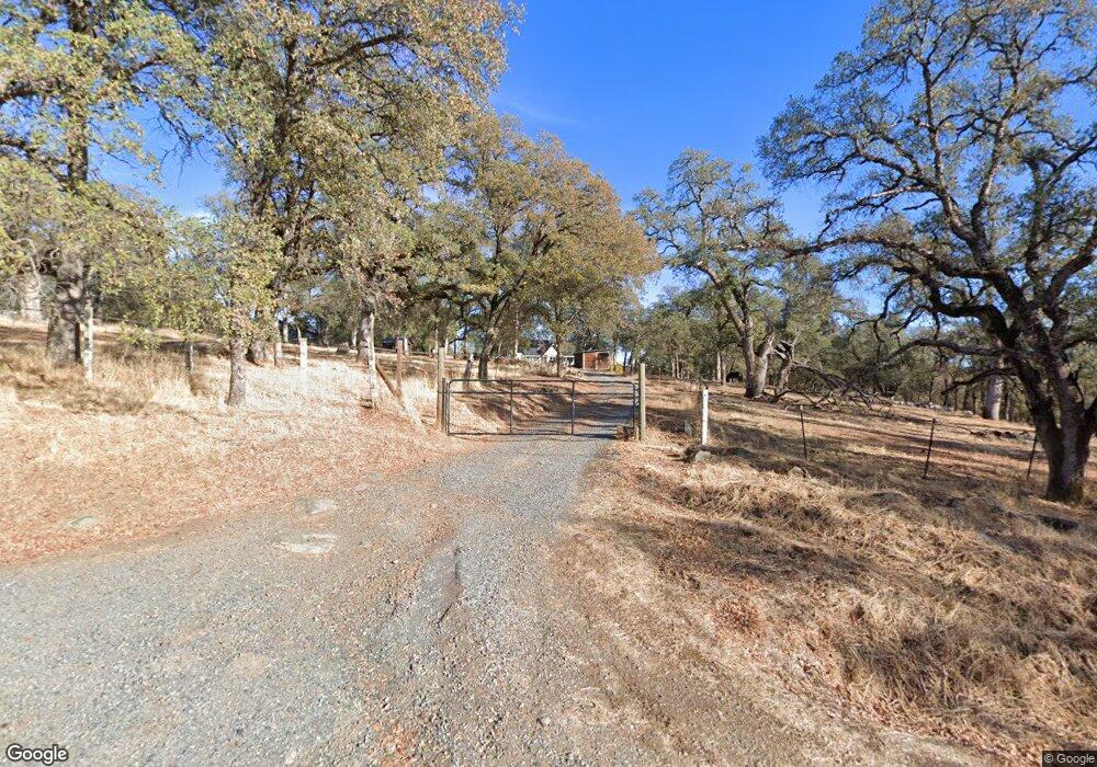
7045 Stewart Mine Rd Placerville, CA 95667
Estimated Value: $594,000 - $811,000
6
Beds
4
Baths
2,176
Sq Ft
$334/Sq Ft
Est. Value
About This Home
This home is located at 7045 Stewart Mine Rd, Placerville, CA 95667 and is currently estimated at $726,178, approximately $333 per square foot. 7045 Stewart Mine Rd is a home located in El Dorado County with nearby schools including Georgetown Elementary School and Golden Sierra Junior Senior High.
Ownership History
Date
Name
Owned For
Owner Type
Purchase Details
Closed on
Jul 26, 2001
Sold by
Boswell Gordon A and Boswell Josephine
Bought by
Taylor Eric M and Taylor Nichola E
Current Estimated Value
Home Financials for this Owner
Home Financials are based on the most recent Mortgage that was taken out on this home.
Original Mortgage
$275,000
Outstanding Balance
$106,808
Interest Rate
7.09%
Estimated Equity
$619,370
Create a Home Valuation Report for This Property
The Home Valuation Report is an in-depth analysis detailing your home's value as well as a comparison with similar homes in the area
Home Values in the Area
Average Home Value in this Area
Purchase History
| Date | Buyer | Sale Price | Title Company |
|---|---|---|---|
| Taylor Eric M | $345,000 | Chicago Title Co |
Source: Public Records
Mortgage History
| Date | Status | Borrower | Loan Amount |
|---|---|---|---|
| Open | Taylor Eric M | $275,000 | |
| Closed | Taylor Eric M | $34,500 |
Source: Public Records
Tax History Compared to Growth
Tax History
| Year | Tax Paid | Tax Assessment Tax Assessment Total Assessment is a certain percentage of the fair market value that is determined by local assessors to be the total taxable value of land and additions on the property. | Land | Improvement |
|---|---|---|---|---|
| 2025 | $6,397 | $571,103 | $165,740 | $405,363 |
| 2024 | $6,397 | $559,906 | $162,491 | $397,415 |
| 2023 | $6,254 | $548,928 | $159,305 | $389,623 |
| 2022 | $6,176 | $538,166 | $156,182 | $381,984 |
| 2021 | $6,062 | $527,615 | $153,120 | $374,495 |
| 2020 | $6,007 | $522,206 | $151,550 | $370,656 |
| 2019 | $5,906 | $511,968 | $148,579 | $363,389 |
| 2018 | $5,744 | $501,930 | $145,666 | $356,264 |
| 2017 | $5,642 | $492,089 | $142,810 | $349,279 |
| 2016 | $5,542 | $482,441 | $140,010 | $342,431 |
| 2015 | $5,346 | $475,197 | $137,908 | $337,289 |
| 2014 | $5,346 | $465,890 | $135,207 | $330,683 |
Source: Public Records
Map
Nearby Homes
- 7145 Stewart Mine Rd
- 7155 Stewart Mine Rd
- 6545 Kelsey Rd
- 9803 State Highway 193
- 6534 Kelsey Rd
- 1101 Woodside Ln
- 9130 Riverwood Dr
- 9461 State Highway 193 Unit 26
- 6533 Shoo Fly Rd
- 6556 Gold Hill Rd
- 2000 Bear Rock Rd
- 6080 Spanish Flat Rd
- 2446 Prado Vista Rd
- 206 Judy Dr
- 5821 Spanish Flat Rd
- 6104 Bayne Rd
- 2095 Wild Goose Canyon Rd
- 1244 Cold Springs Rd
- 6100 Shasta Rd
- 6371 Johntown Creek Rd
- 7025 Stewart Mine Rd
- 7001 Stewart Mine Rd
- 7411 Riverbend Dr
- 7441 Riverbend Dr
- 0 Riverbend Unit 16055137
- 7137 Stewart Mine Rd
- 7090 Stewart Mine Rd
- 7104 Stewart Mine Rd
- 7400 Riverbend Dr
- 7130 Stewart Mine Rd
- 6850 Stewart Mine Rd
- 7140 Stewart Mine Rd
- 7201 Dead Horse Rd
- 6828 Stewart Mine Rd
- 7136-7140 Stewart Mine Rd
- 7136 Stewart Mine Rd
- 0 Stewart Mine Rd Unit 16014574
- 0 Stewart Mine Rd Unit 222016728
- 0 Stewart Mine Rd Unit 40601156
- 0 Stewart Mine Rd Unit 40601155