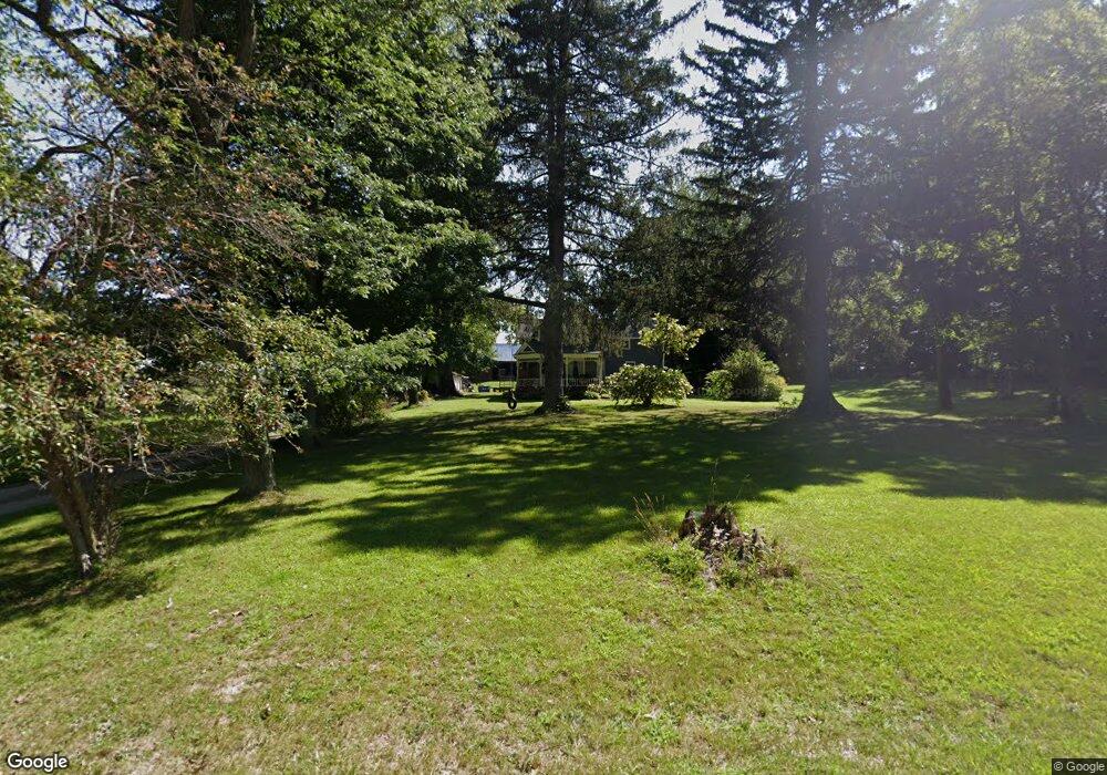
7048 13 1/2 Mile Rd Tekonsha, MI 49092
Estimated Value: $241,833 - $263,000
5
Beds
1
Bath
2,018
Sq Ft
$123/Sq Ft
Est. Value
About This Home
This home is located at 7048 13 1/2 Mile Rd, Tekonsha, MI 49092 and is currently estimated at $248,458, approximately $123 per square foot. 7048 13 1/2 Mile Rd is a home located in Calhoun County with nearby schools including Tekonsha High School.
Ownership History
Date
Name
Owned For
Owner Type
Purchase Details
Closed on
Oct 22, 2013
Sold by
Crowe Peter and Crowe Betty L
Bought by
Willerick Ethan
Current Estimated Value
Home Financials for this Owner
Home Financials are based on the most recent Mortgage that was taken out on this home.
Original Mortgage
$86,406
Interest Rate
4.37%
Mortgage Type
FHA
Purchase Details
Closed on
Oct 21, 2013
Sold by
Washburn Steven D and Washburn Daniel A
Bought by
Crowe Peter and Crowe Betty L
Home Financials for this Owner
Home Financials are based on the most recent Mortgage that was taken out on this home.
Original Mortgage
$86,406
Interest Rate
4.37%
Mortgage Type
FHA
Create a Home Valuation Report for This Property
The Home Valuation Report is an in-depth analysis detailing your home's value as well as a comparison with similar homes in the area
Home Values in the Area
Average Home Value in this Area
Purchase History
| Date | Buyer | Sale Price | Title Company |
|---|---|---|---|
| Willerick Ethan | $88,000 | Calhoun Title | |
| Crowe Peter | $75,000 | Calhoun Title |
Source: Public Records
Mortgage History
| Date | Status | Borrower | Loan Amount |
|---|---|---|---|
| Previous Owner | Willerick Ethan | $86,406 |
Source: Public Records
Tax History Compared to Growth
Tax History
| Year | Tax Paid | Tax Assessment Tax Assessment Total Assessment is a certain percentage of the fair market value that is determined by local assessors to be the total taxable value of land and additions on the property. | Land | Improvement |
|---|---|---|---|---|
| 2025 | $1,772 | $109,200 | $0 | $0 |
| 2024 | $881 | $98,800 | $0 | $0 |
| 2023 | $1,627 | $83,500 | $0 | $0 |
| 2022 | $871 | $74,300 | $0 | $0 |
| 2021 | $1,657 | $61,200 | $0 | $0 |
| 2020 | $1,627 | $59,400 | $0 | $0 |
| 2019 | $1,560 | $55,600 | $0 | $0 |
| 2018 | $0 | $50,000 | $11,800 | $38,200 |
| 2017 | $0 | $50,500 | $0 | $0 |
| 2016 | $0 | $46,800 | $0 | $0 |
| 2015 | -- | $42,600 | $14,346 | $28,254 |
| 2014 | -- | $40,900 | $18,954 | $21,946 |
Source: Public Records
Map
Nearby Homes
- 4380 14 Mile Rd
- 508 Lyon Lake Rd
- 106 Lyon Lake Rd
- 14880 C Dr S
- V/L Cedar Lake
- 17026 H Dr S
- 10215 I Dr S
- V/L 10 Mile Rd
- 10047 11 Mile Rd
- 11253 Wildwood Dr
- 10660 D Dr S
- 8475 18 1 2 Mile Rd
- 15277 Michigan 60
- 0 15 1 2 Mile Rd Unit 25024661
- 9257 N Dr S
- 325 E Leroy St
- 128 N Marshall St
- 4600 11 Mile Rd
- 9999 N-Drive S
- 12246 15 1 2 Mile Rd
- Par 2-6 13 1 2 Mile Rd
- Par 3-5 13 1 2 Mile Rd
- Par 4 13 1 2 Mile Rd
- Par 5 13 1 2 Mile Rd
- Par 2 13 1 2 Mile Rd
- 6753 13 1/2 Mile Rd
- 7327 13 1/2 Mile Rd
- 7450 13 1/2 Mile Rd
- 7566 13 1/2 Mile Rd
- 7238 14 1/2 Mile Rd
- 6512 14 1/2 Mile Rd
- 6512 14 1 2 Mile Rd
- 6955 13 Mile Rd
- 7746 13 Mile Rd
- 6672 13 Mile Rd
- 7400 13 Mile Rd
- 6500 14 1/2 Mile Rd
- 6621 13 Mile Rd
- 6511 13 Mile Rd
- 6428 13 Mile Rd