Estimated Value: $103,000 - $171,195
3
Beds
1
Bath
1,320
Sq Ft
$104/Sq Ft
Est. Value
About This Home
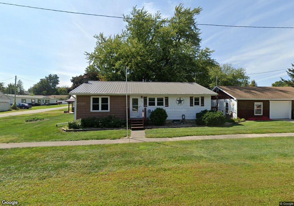
This home is located at 705 3rd St, Union, IA 50258 and is currently estimated at $136,799, approximately $103 per square foot. 705 3rd St is a home located in Hardin County with nearby schools including BCLUW Elementary School, BCLUW Middle School, and BCLUW High School.
Create a Home Valuation Report for This Property
The Home Valuation Report is an in-depth analysis detailing your home's value as well as a comparison with similar homes in the area
Tax History
| Year | Tax Paid | Tax Assessment Tax Assessment Total Assessment is a certain percentage of the fair market value that is determined by local assessors to be the total taxable value of land and additions on the property. | Land | Improvement |
|---|---|---|---|---|
| 2025 | $1,482 | $147,200 | $2,880 | $144,320 |
| 2024 | $1,482 | $110,750 | $2,880 | $107,870 |
| 2023 | $1,378 | $110,750 | $2,880 | $107,870 |
| 2022 | $1,304 | $94,000 | $2,880 | $91,120 |
| 2021 | $1,304 | $94,000 | $2,880 | $91,120 |
| 2020 | $1,094 | $78,410 | $3,960 | $74,450 |
| 2019 | $992 | $78,410 | $0 | $0 |
| 2018 | $992 | $71,280 | $0 | $0 |
| 2017 | $968 | $64,800 | $0 | $0 |
| 2016 | $966 | $64,800 | $0 | $0 |
| 2015 | $994 | $64,800 | $0 | $0 |
| 2014 | $990 | $64,800 | $0 | $0 |
Source: Public Records
Map
Nearby Homes