Estimated Value: $188,000 - $622,000
3
Beds
1
Bath
1,302
Sq Ft
$236/Sq Ft
Est. Value
About This Home
This home is located at 705 4th St, Troy, MT 59935 and is currently estimated at $306,883, approximately $235 per square foot. 705 4th St is a home with nearby schools including W.F. Morrison School, Troy Junior High School, and Troy High School.
Ownership History
Date
Name
Owned For
Owner Type
Purchase Details
Closed on
Jan 4, 2024
Sold by
Slaven Shauna Lane
Bought by
Savage Ross Lane
Current Estimated Value
Purchase Details
Closed on
May 14, 2022
Sold by
Lane Savage Ross
Bought by
Slaven Shauna Lane
Purchase Details
Closed on
Aug 23, 2021
Sold by
Shauna Lane-Slaven
Bought by
Savage Ross Lane
Purchase Details
Closed on
Dec 15, 2018
Sold by
Slaven Shauna Lane and Savage Ross Lane
Bought by
Slaven Shauna Lane
Create a Home Valuation Report for This Property
The Home Valuation Report is an in-depth analysis detailing your home's value as well as a comparison with similar homes in the area
Home Values in the Area
Average Home Value in this Area
Purchase History
| Date | Buyer | Sale Price | Title Company |
|---|---|---|---|
| Savage Ross Lane | -- | None Listed On Document | |
| Savage Ross Lane | -- | None Listed On Document | |
| Slaven Shauna Lane | -- | None Listed On Document | |
| Savage Ross Lane | -- | None Listed On Document | |
| Slaven Shauna Lane | -- | None Available |
Source: Public Records
Tax History Compared to Growth
Tax History
| Year | Tax Paid | Tax Assessment Tax Assessment Total Assessment is a certain percentage of the fair market value that is determined by local assessors to be the total taxable value of land and additions on the property. | Land | Improvement |
|---|---|---|---|---|
| 2025 | $998 | $214,793 | $0 | $0 |
| 2024 | $596 | $144,688 | $0 | $0 |
| 2023 | $787 | $144,688 | $0 | $0 |
| 2022 | $427 | $84,800 | $0 | $0 |
| 2021 | $481 | $84,800 | $0 | $0 |
| 2020 | $1,117 | $85,400 | $0 | $0 |
| 2019 | $1,102 | $85,400 | $0 | $0 |
| 2018 | $737 | $72,100 | $0 | $0 |
| 2017 | $393 | $72,100 | $0 | $0 |
| 2016 | $580 | $55,900 | $0 | $0 |
| 2015 | $526 | $55,900 | $0 | $0 |
| 2014 | $752 | $42,580 | $0 | $0 |
Source: Public Records
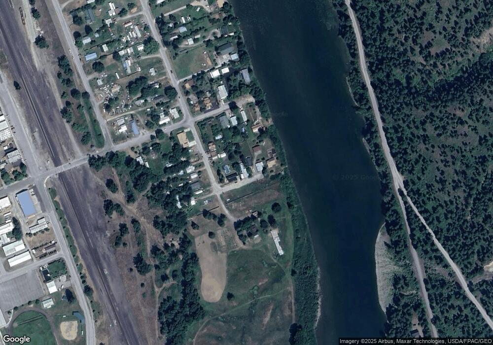
Map
Nearby Homes
- 708 N 3rd St
- 296 Riverside Ave
- 318 E Kootenai Ave
- 205 E Spokane Ave
- 0000 Obrien Creek Rd
- 106 N 6th St
- 209 Mineral Ave
- 206 Mineral Ave
- 514 Mineral Ave
- 707 E Grant Ave
- TBD Dent Ave
- Parcel A N Kootenai Dr
- Parcel B N Kootenai Dr
- 158 Twisted Branch Ln
- 1278 Hunts Mill Rd
- 687 Iron Creek Rd
- 12437 Us Highway 2
- NHN Little Bear Loop
- Lot 1 River Rd
- 1268 Hunts Mill Rd
- 709 N 4th St
- 710 N 3rd St
- 131 Riverside Ave
- 712 N 3rd St
- 159 Riverside Ave
- 626 N 3rd St
- 120 Highway 2 N
- 703 N 3rd St
- 100 Riverside Ave
- 707 N 3rd St
- 616 N 3rd St
- 612 N 3rd St
- 235 Riverside Ave
- 276 Riverside Ave
- LOT 4 Millsite Troy Lincoln Co
- 267 Riverside Ave
- 208 E Riverside Ave
- 205 Riverside Ave
- LOT 3 Millsite Troy Lincoln Co
- 281 Riverside Ave