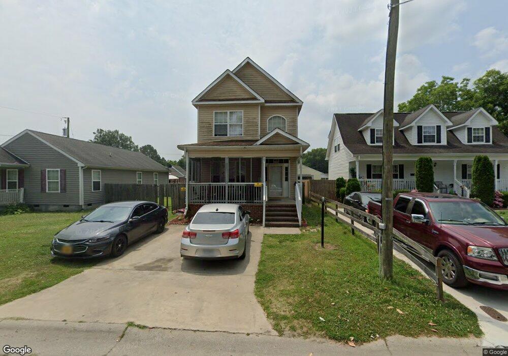
705 Battery Ave Suffolk, VA 23434
Holy Neck NeighborhoodEstimated Value: $310,000 - $333,439
4
Beds
3
Baths
1,921
Sq Ft
$165/Sq Ft
Est. Value
About This Home
This home is located at 705 Battery Ave, Suffolk, VA 23434 and is currently estimated at $316,860, approximately $164 per square foot. 705 Battery Ave is a home located in Suffolk City with nearby schools including Hillpoint Elementary School, Forest Glen Middle School, and Lakeland High School.
Ownership History
Date
Name
Owned For
Owner Type
Purchase Details
Closed on
Oct 27, 2010
Sold by
Fulton Bank
Bought by
Pope Bettie
Current Estimated Value
Home Financials for this Owner
Home Financials are based on the most recent Mortgage that was taken out on this home.
Original Mortgage
$136,451
Interest Rate
4.39%
Mortgage Type
FHA
Purchase Details
Closed on
Apr 13, 2010
Sold by
Biemiller Sub Tr Richard E
Bought by
Fulton Bank
Create a Home Valuation Report for This Property
The Home Valuation Report is an in-depth analysis detailing your home's value as well as a comparison with similar homes in the area
Home Values in the Area
Average Home Value in this Area
Purchase History
| Date | Buyer | Sale Price | Title Company |
|---|---|---|---|
| Pope Bettie | $140,000 | -- | |
| Fulton Bank | $112,500 | -- |
Source: Public Records
Mortgage History
| Date | Status | Borrower | Loan Amount |
|---|---|---|---|
| Open | Fulton Bank | $126,664 | |
| Closed | Fulton Bank | $136,451 |
Source: Public Records
Tax History Compared to Growth
Tax History
| Year | Tax Paid | Tax Assessment Tax Assessment Total Assessment is a certain percentage of the fair market value that is determined by local assessors to be the total taxable value of land and additions on the property. | Land | Improvement |
|---|---|---|---|---|
| 2024 | $3,908 | $311,100 | $36,800 | $274,300 |
| 2023 | $393 | $301,300 | $35,100 | $266,200 |
| 2022 | $2,742 | $251,600 | $25,100 | $226,500 |
| 2021 | $2,415 | $217,600 | $20,100 | $197,500 |
| 2020 | $2,322 | $209,200 | $18,200 | $191,000 |
| 2019 | $2,176 | $196,000 | $18,200 | $177,800 |
| 2018 | $135 | $196,500 | $18,200 | $178,300 |
| 2017 | $1,961 | $183,300 | $18,200 | $165,100 |
| 2016 | $1,821 | $170,200 | $18,200 | $152,000 |
| 2015 | -- | $163,600 | $18,200 | $145,400 |
| 2014 | -- | $163,600 | $18,200 | $145,400 |
Source: Public Records
Map
Nearby Homes
- 717 Ashley Ave
- 707 Ashley Ave
- 814 Battery Ave
- 812 Battery Ave
- 632 Brook Ave
- 616 Ashley Ave
- 815 Kilby Ave
- 523 Mason Ave
- 515 Battery Ave
- 916 Delaware Ave
- 461 Wellons St
- 435 Wellons St
- 433 Wellons St
- 314 Linden Ave
- 309 Linden Ave
- 406 Saint James Ave
- 419 Wellons St
- 418 Kilby Ave
- 411 Nevada St
- 308 Linden Ave
- 707 Battery Ave
- 701 Battery Ave
- 709 Battery Ave
- 711 Battery Ave
- 704 Brook Ave
- 702 Brook Ave
- 708 Brook Ave
- 633 Battery Ave
- 702 Battery Ave
- 708 Battery Ave
- 706 Battery Ave
- 715 Battery Ave
- 700 Battery Ave
- 712 Battery Ave
- 630 Brook Ave
- 632 Battery Ave
- 627 Battery Ave
- LOT Brooks
- Lot 1 Brook Ave
- Lot 33 Brook Ave